October 22, 2025
Day 50 — Nakatsugawa to Seki
So the plan was to ride from our delightfully generic AB Hotel on the outskirts of Nakatsugawa to Yamagata (our second Yamagata of the trip), where there seemed to be a campground. We weren’t expecting much from the ride, but it would get us within a short day of Hikone, on Lake Biwa.
Once we had our fill of the breakfast buffet, we devised a route using Komoot and set off. It was to be 80 some odd km, with a decent elevation gain, so we were eager to get started.
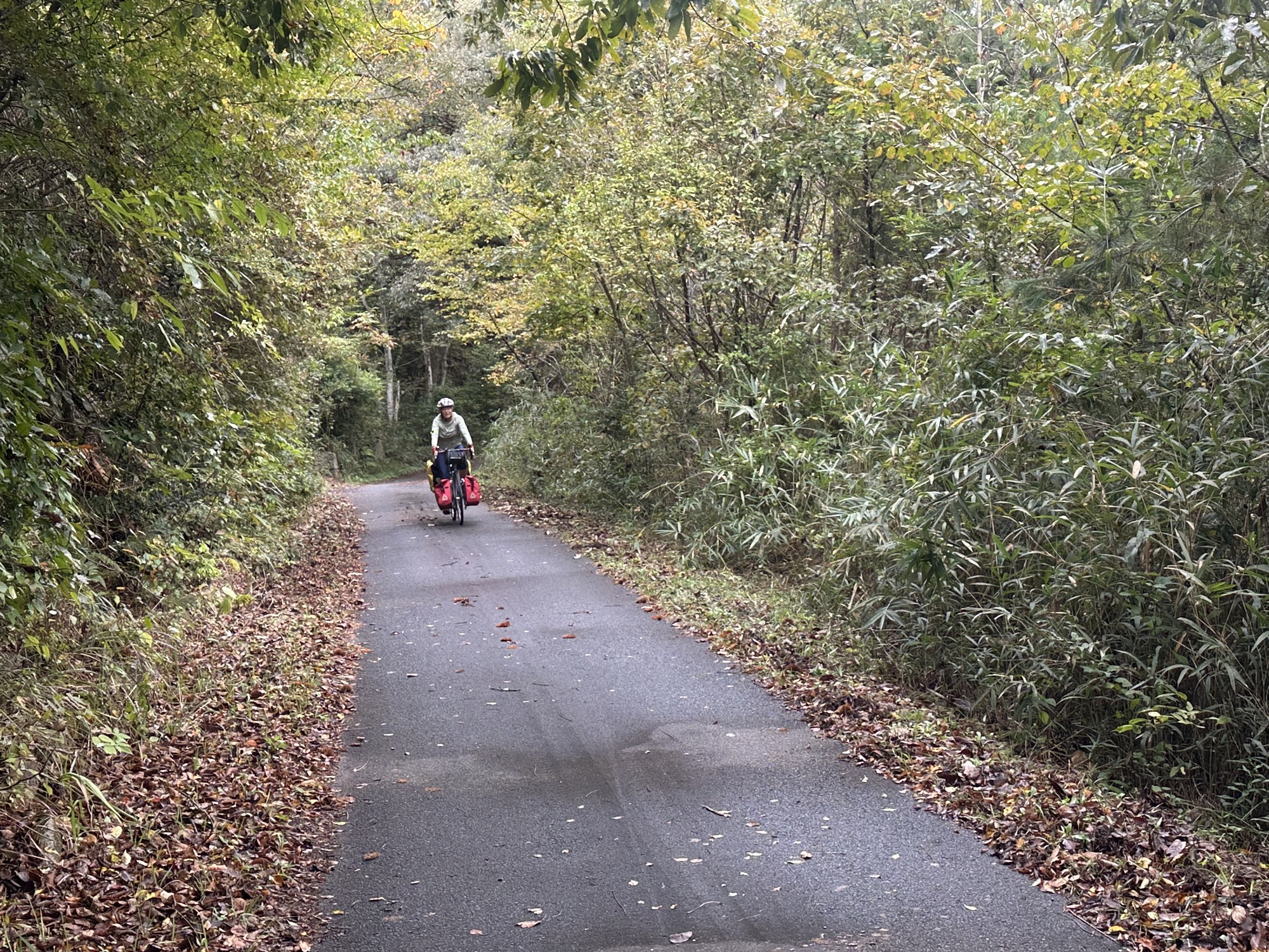
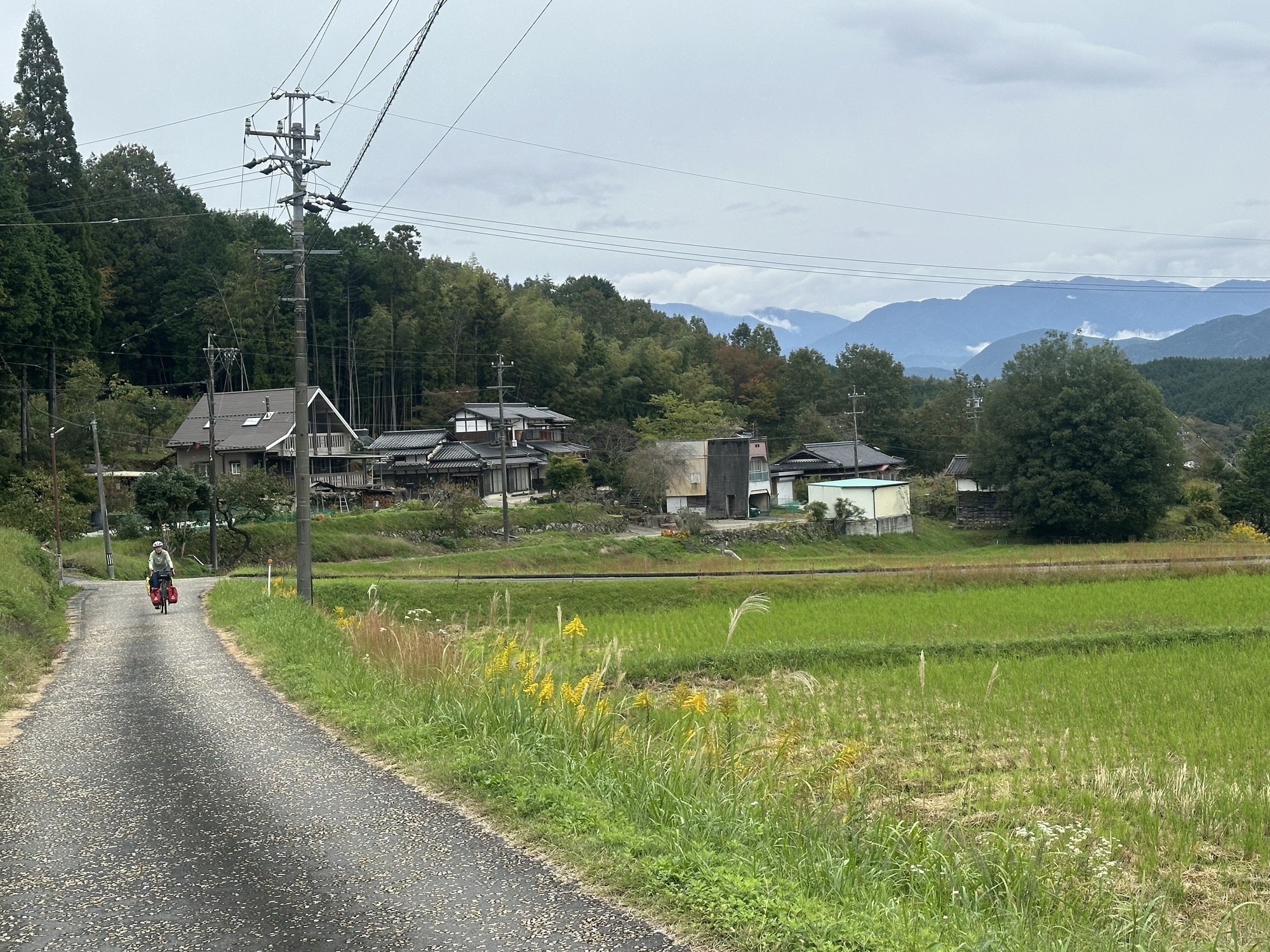
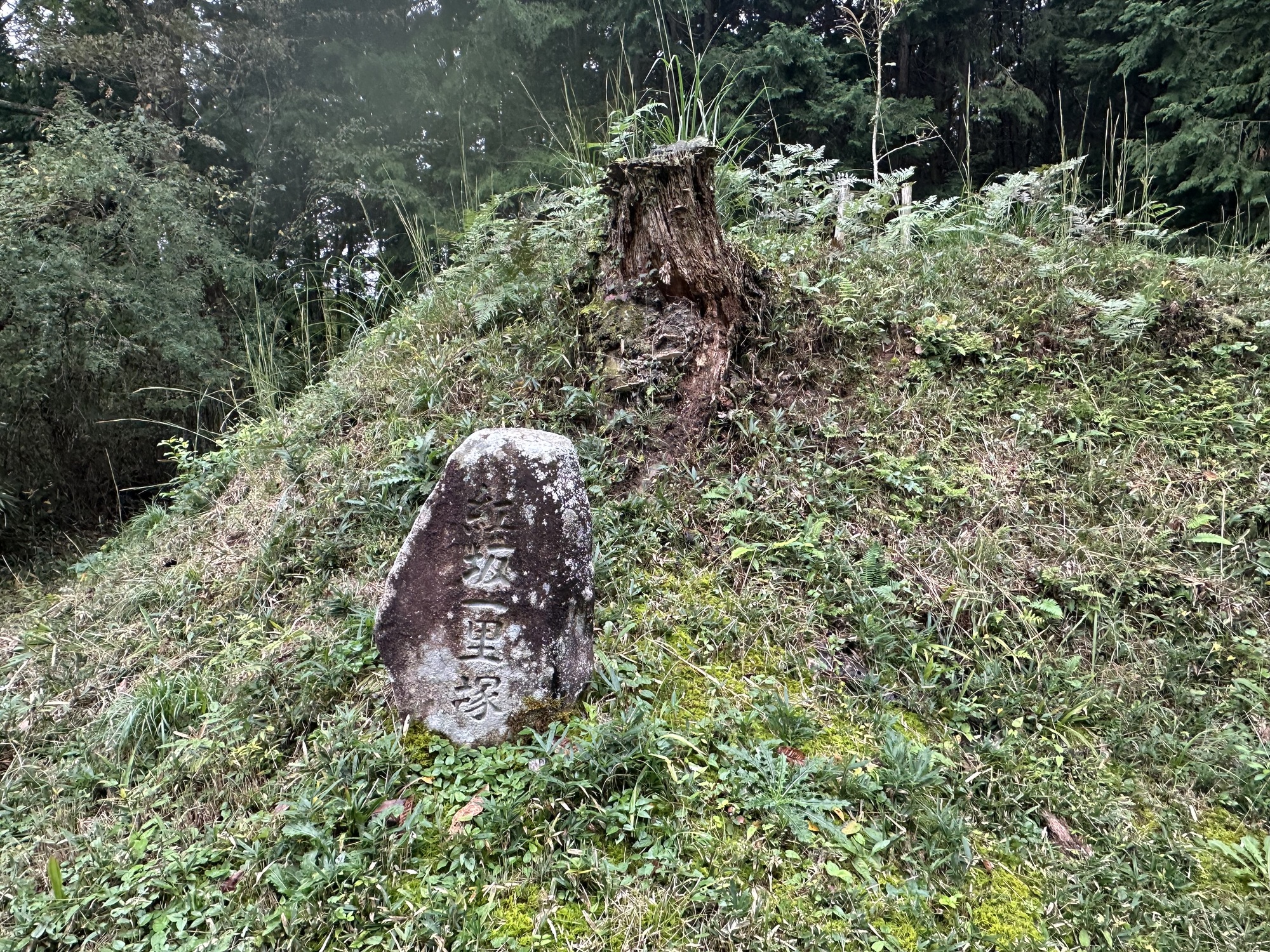
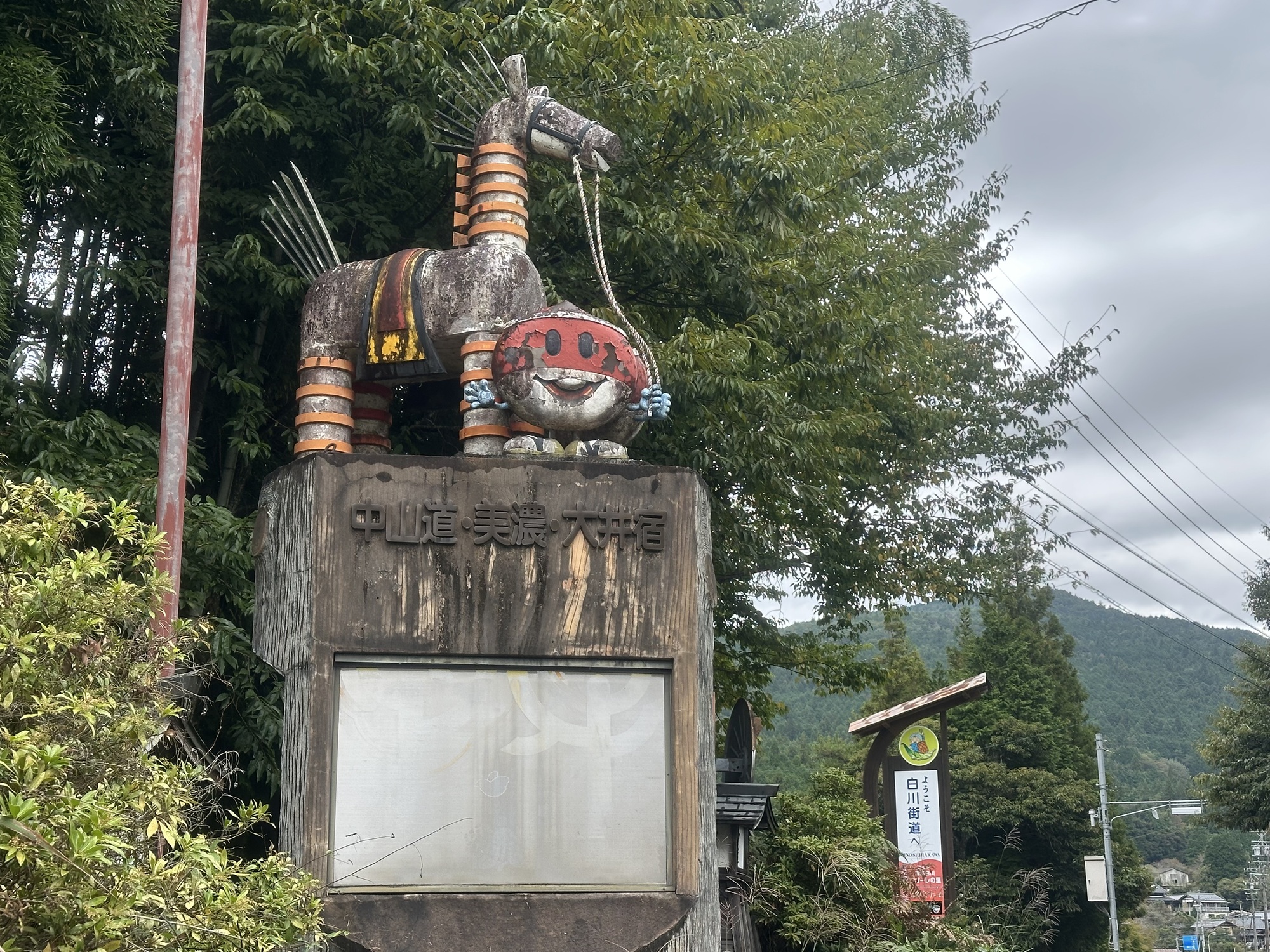
The morning went well enough, with Komoot doing its usual bit of dragging us down side roads and underneath tiny crossings under the express highway repeatedly. Some of the routes were quite pleasant, though after a while, the routes got more challenging — Komoot seemed intent on getting us on the Nakasendo, which is fine in theory, however in practice the route eventually devolved into us hiking over old cobbles — atmospheric, but entirely unbikeable. One bonus was that we did happen across some historical stuff from the old Nakasendo, including a small stone monument erected in 1604.
After a while of bouncing the bikes along in the woods, with the sense of how little progress we were making creeping into our brains, we popped out at a nice picnic shelter, all the more welcome as it was starting to rain. We had a nice snack, got the jackets out and carried on.
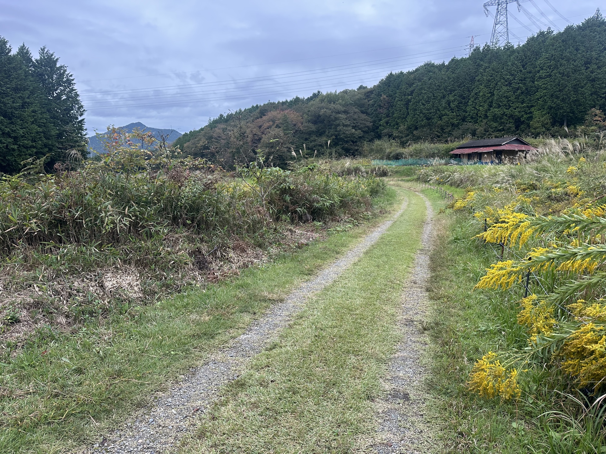
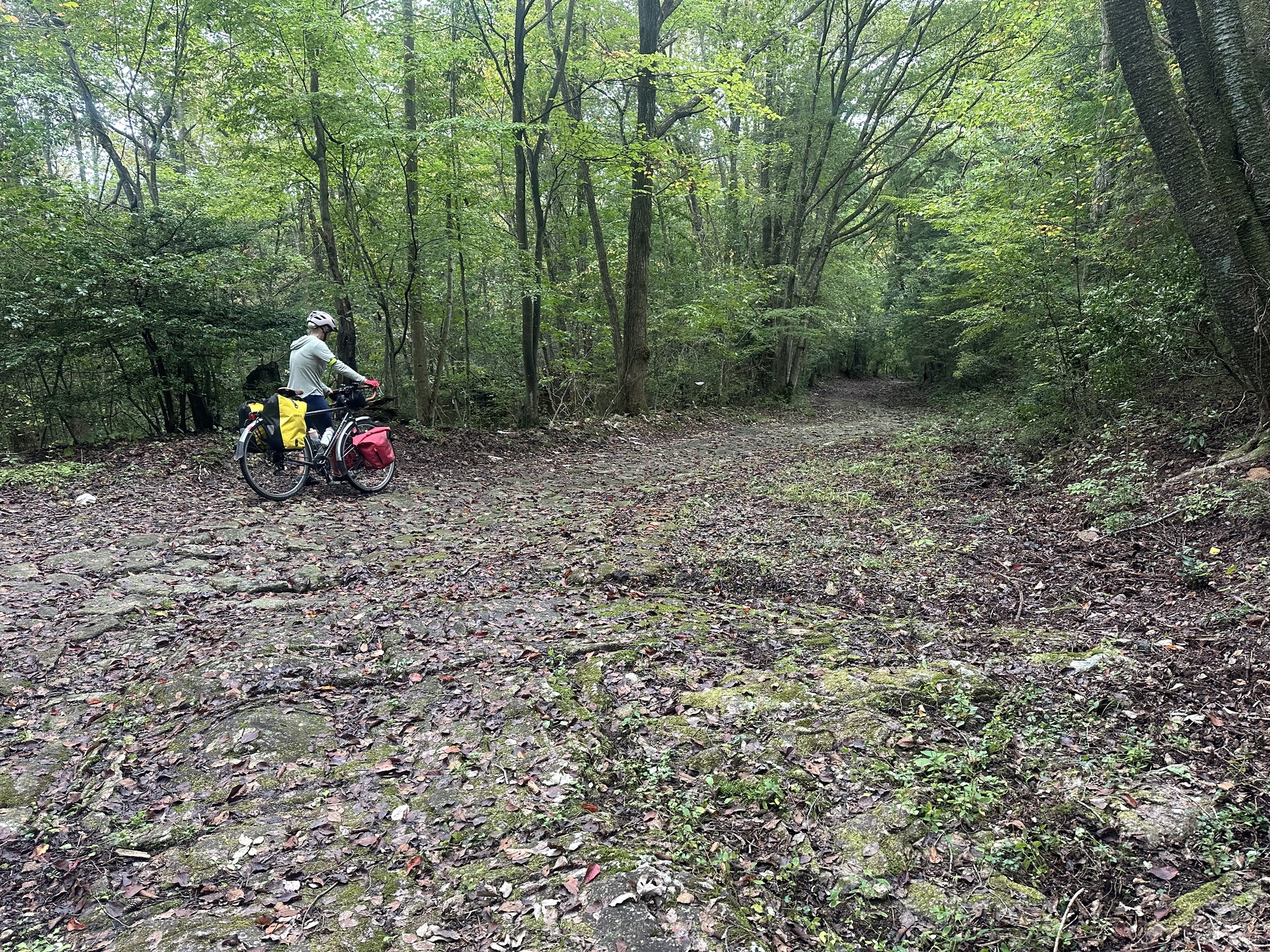
At this point the route options became downright comedic. We ventured off, following the directions of the little device. We went up a small hill, and…into someone’s driveway. Maybe it meant this track the other side of the house? That ended in the trees. The Garmin at that point just had the word “Woods” as a heading. We found a way around that would connect us to the route further along. That involved biking several hundred metres up the road, crunching up and down a steep hill, only to arrive at a fence. We returned to the picnic shelter, around which we had been biking for nearly an hour, to reassess.
At this point it was becoming very unlikely we would make Yamagata, and we certainly didn’t want to search for camping in the rain after dark. We booked an available hotel — another AB Hotel, as it turned out, in a place called Seki, which was reachable. We gave Komoot the rest of the day off and switched to Garmin for navigation, and it plotted us a much different course that looked like it was all on paved road at least. There was still a lot of distance and a lot of climbing left, and the day was getting on, so we pushed on.
The new route hurtled us down an enormous swooping hill to a river, which was dramatic and fun, but we knew that everything that goes down must come up. We crossed the river on a single lane red bridge, and before long started up a 10 km 500 m climb.
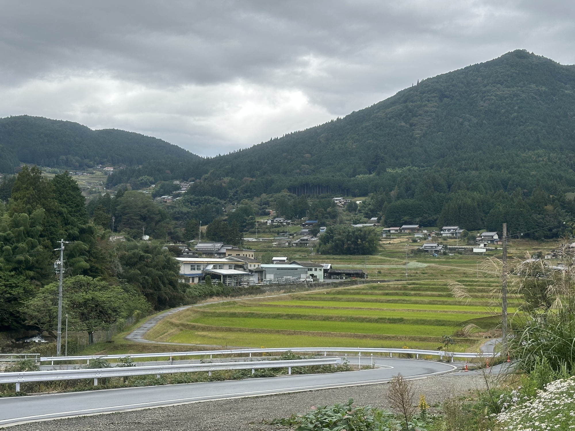
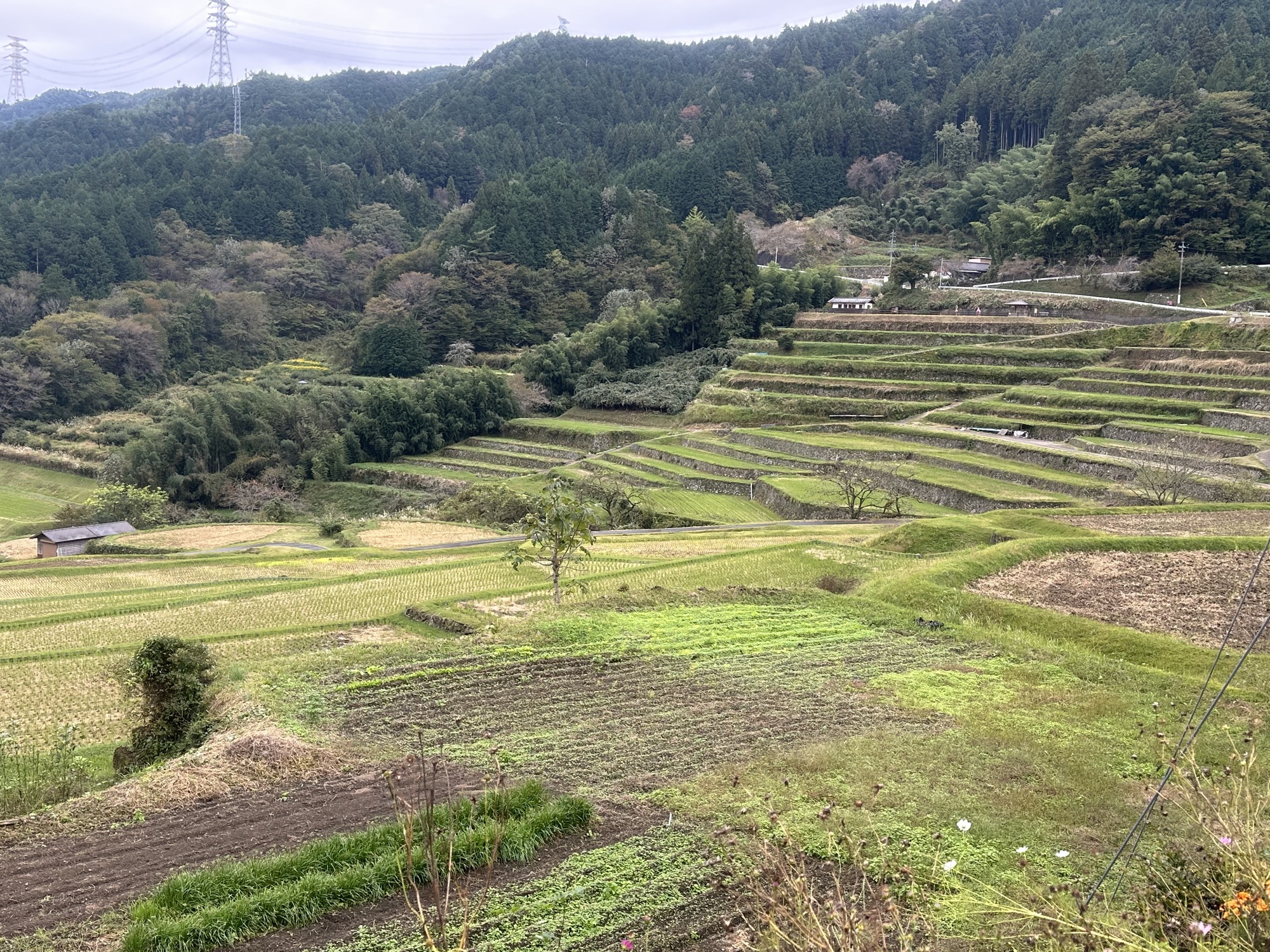
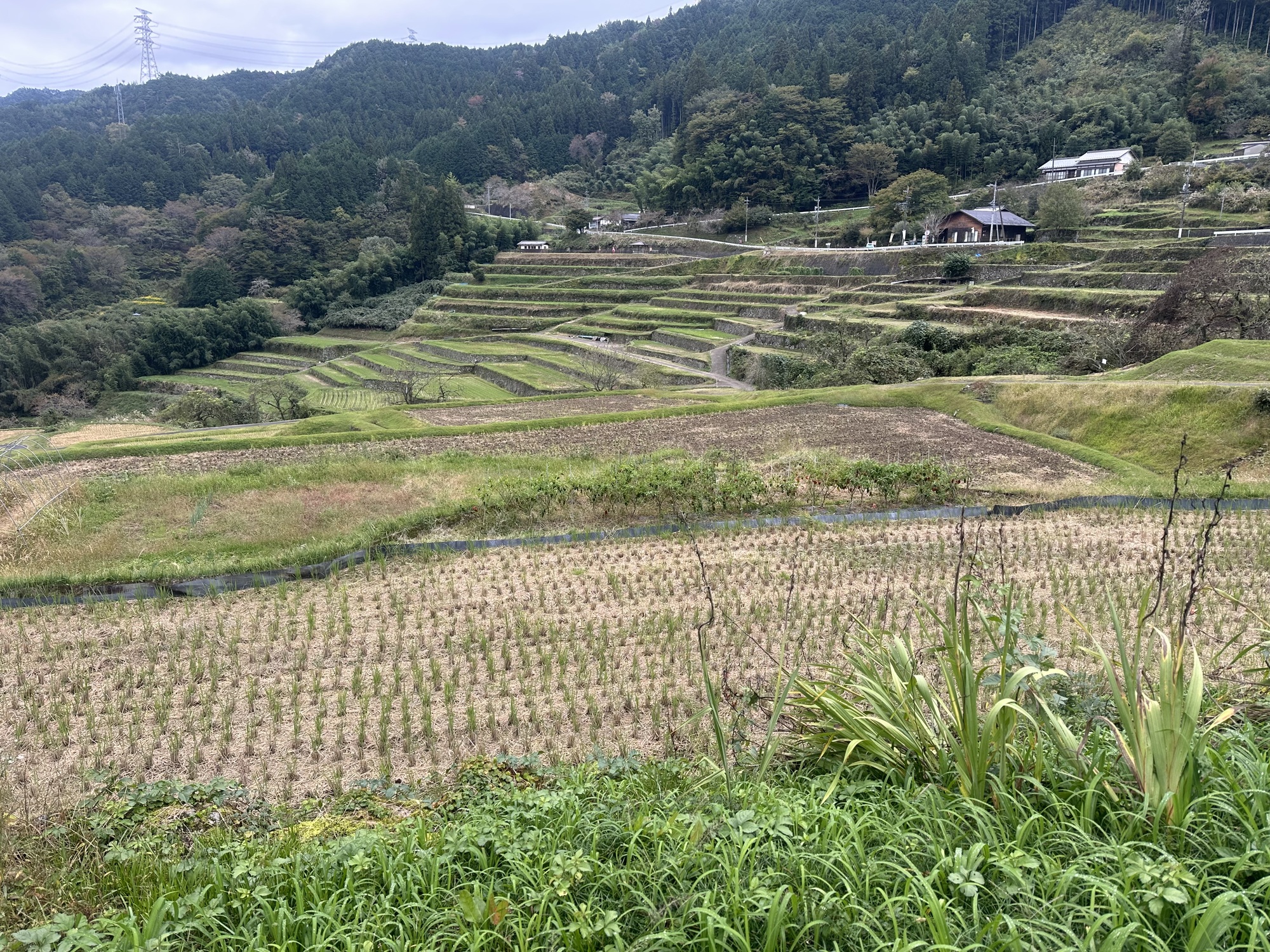
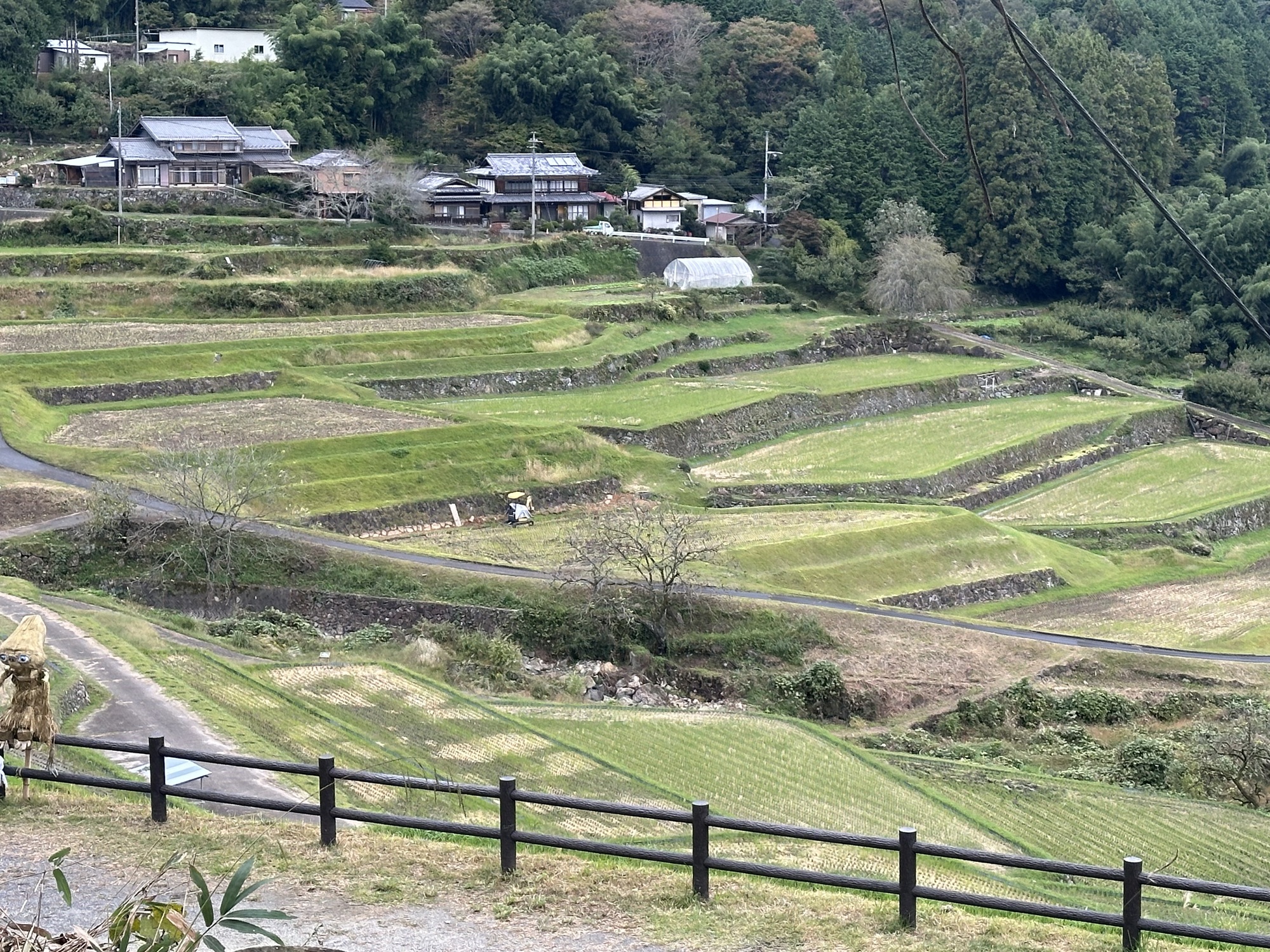
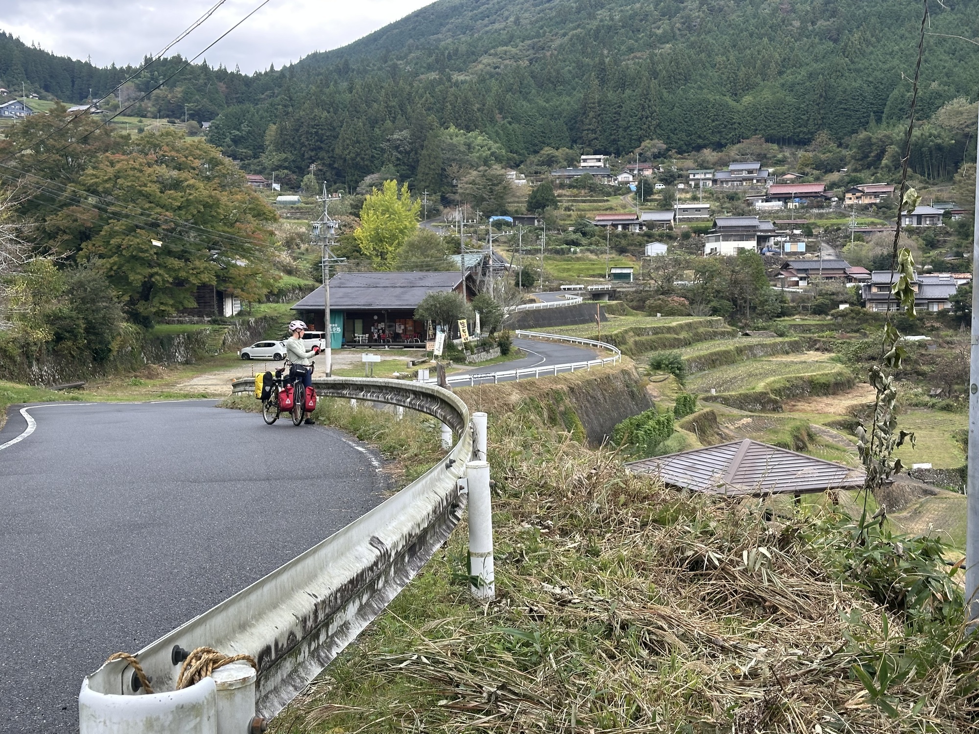
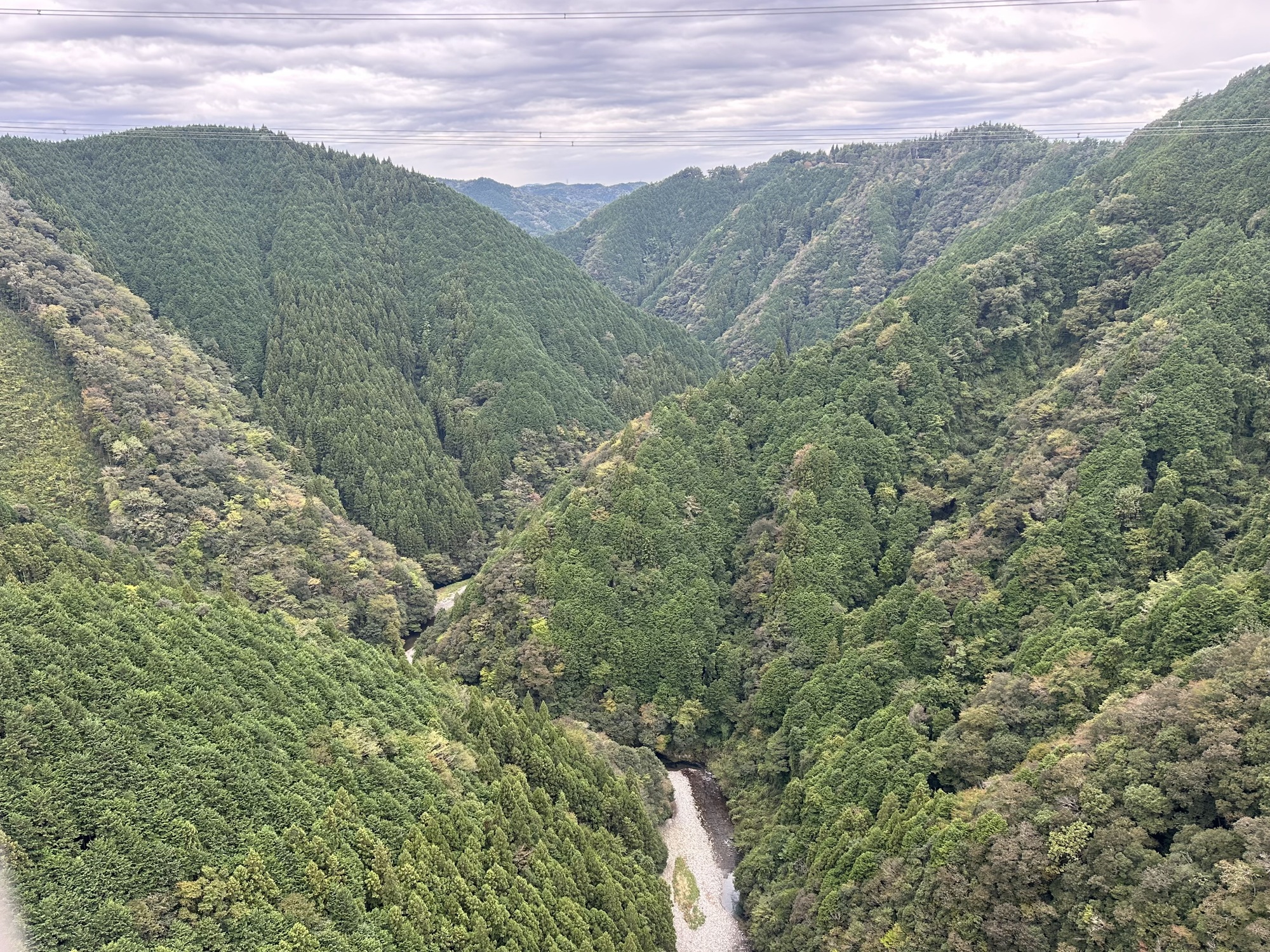
The climb was gradual enough at first, but it got steeper and steeper as it went along. We turned off onto a smaller road that tracked along terraced rice paddies, and then veered off incredibly steeply up into the woods on a switchbacking road barely a lane wide. After a while it was too steep to ride and we hike-a-biked the last couple of km up this crazy 15% grade.
Once at the top we were free to careen down through the clouds. Very scenic, very chilly. Smaller roads became bigger, and the bigger road turned off onto an empty 4 lane highway where we bombed down at 40+ km/h for a good long while, finally making some much needed distance.
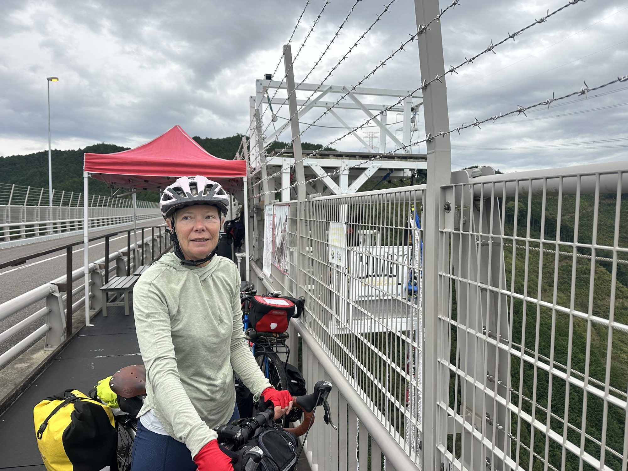
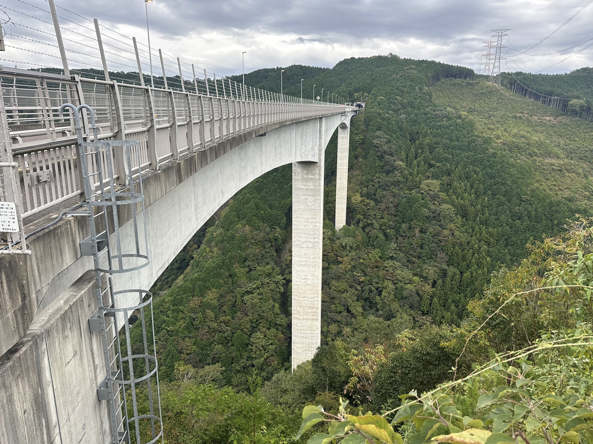
We went through a short tunnel which spit us out onto this absolutely mind boggling high bridge. In the middle of it was a bungy jumping platform, but we decided, hm, not for us. Apparently the drop is 200 m. Just looking at it was vertigo inducing. The bridge itself was a marvel to behold as well.
After that it was all denouement. We worked our way into Seki, found the hotel just as it got dark, and went and had a dinner in a lively local establishment where we ordered way, way too much food.
And there ends another odd day.
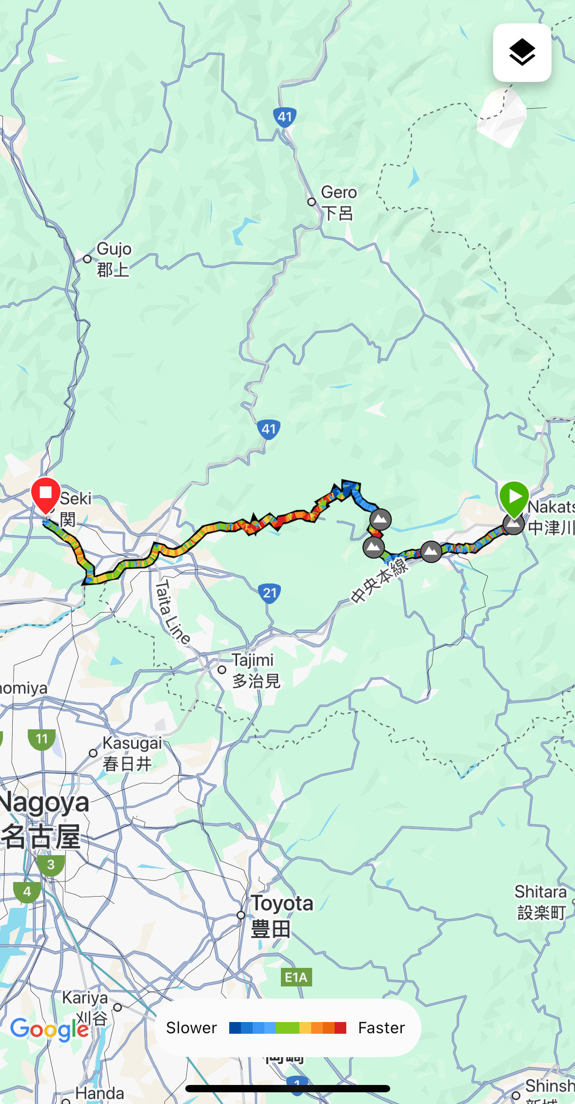
Today's ride: 86 km (53 miles)
Total: 2,535 km (1,574 miles)
| Rate this entry's writing | Heart | 4 |
| Comment on this entry | Comment | 4 |
Just curious, because I’m a Komoot user too, and would like to bike in Japan - are you selecting just ‘cycling’ as your activity, or ‘gravel’? I toggle between the two, I’d say. For what it’s worth, I try to report the worst routing issues to Komoot, which is pretty easy to do. And a couple of times I’ve fixed things in Open Street Maps, which I believe Komoot’s maps are based on.
3 months ago
When you get to Lake Biwa, I can recommend Miami Beach Auto Campground. Look it up and see if it works with your daily distance. They have a day use area too, so pass the first sign and go a few hundred meters until you see the log cabin. Reception closes at 5pm.
https://maps.app.goo.gl/xFQDAhfUQM1zkrS58
3 months ago
3 months ago
3 months ago