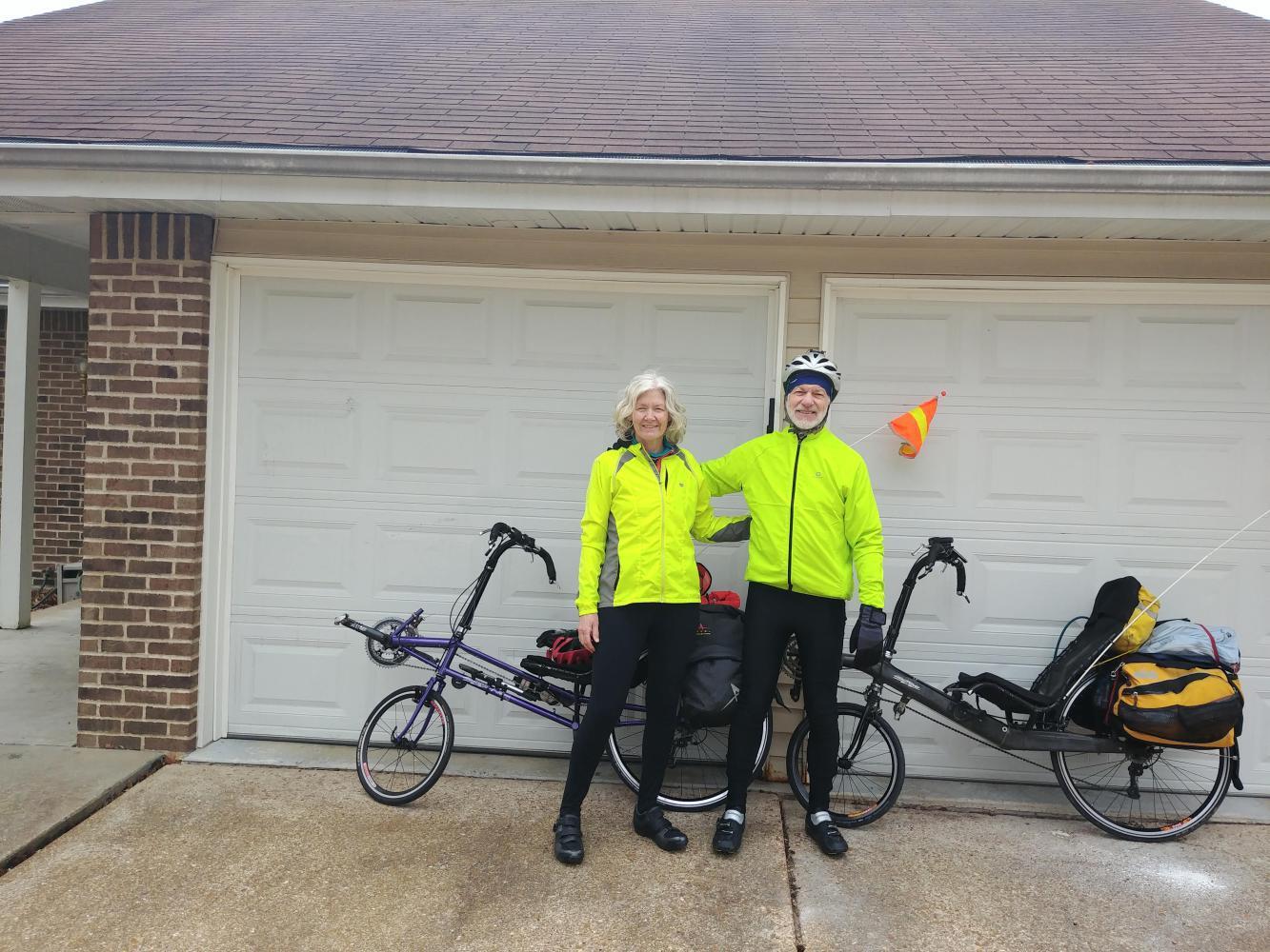
May 16, 2018 to May 20, 2018
A look back at Route 66
On the drive to Nevada we're passing by some of the California towns we cycled through on the ride down Route 66 in 2018. A review of our Crazy Guy journal from that trip stirred up memories of the passage through the Mojave Desert and into the southern California jungle. Overall I'd call it a Type II fun experience - a tough journey that's fun to look back on.
| Heart | 2 | Comment | 0 | Link |
Needles to Amboy, 79 miles
We got our earliest start of the trip at 7:20 to get a jump on the climb into the Mojave Trails National Monument, a vast undeveloped 2,500 square mile area of the Mojave Desert. Route 66 runs along its predecessor, the National Old Trails road, for 105 miles from Needles to Ludlow. Services are scarce along the road so we filled our spare 3 liter water bag. With that plus our two Camelbaks and two water bottles we set off with 10 liters between us.
From Needles, the road climbs steadily over 30 miles, first on I-40, then on busy US 95. Most of the drivers gave us space, except for one cranky RV driver who honked and close-passed us on a shoulderless stretch. What can you do but smile and wave?
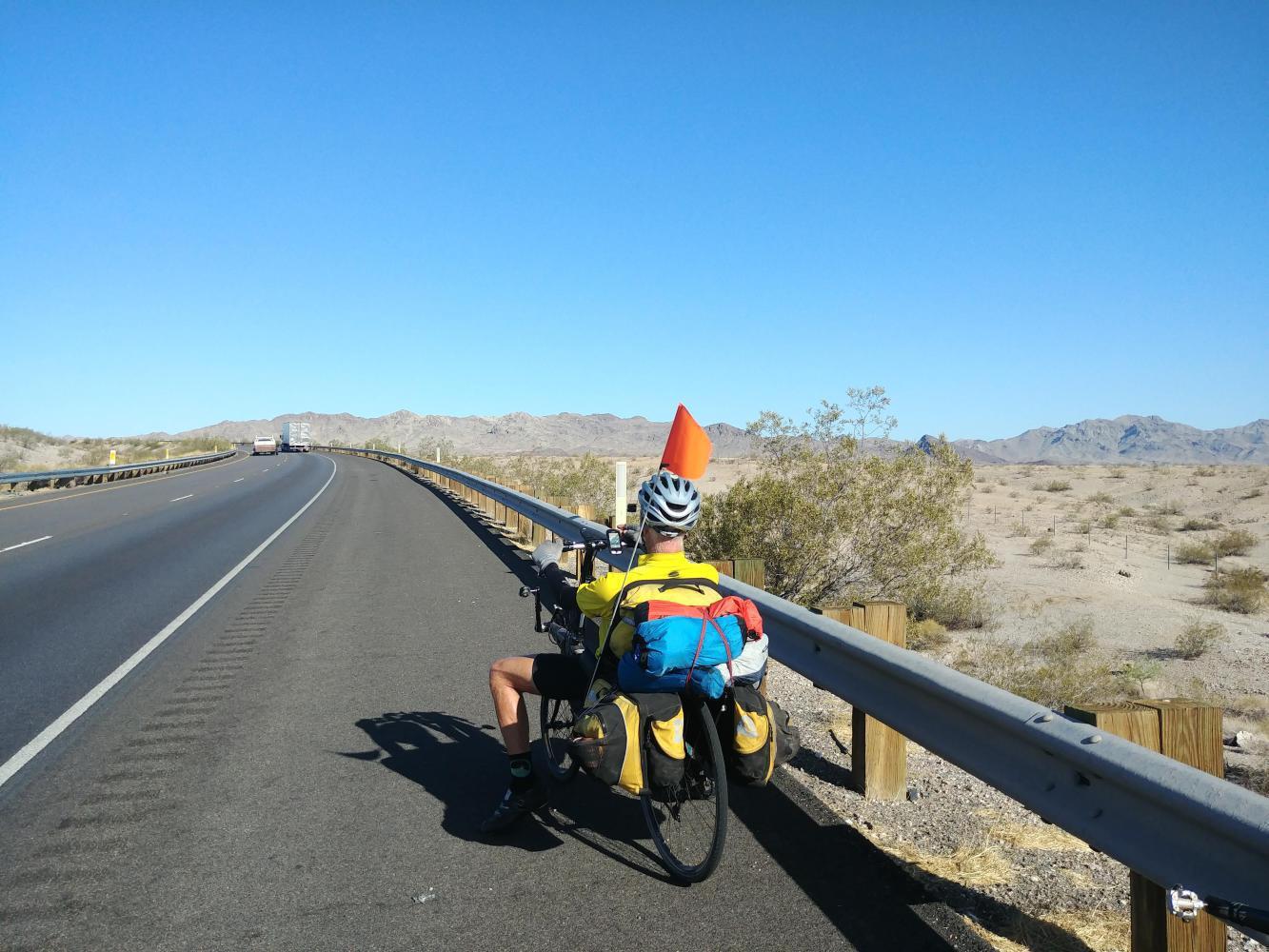
Further on we turned west on Goffs Road which was all but deserted, windy and still ascending. The temperature was well into the upper 90s and we were looking around for any kind of shade. A railroad bridge with four feet of clearance was good enough to sit for a spell, after a careful check for slithery critters.
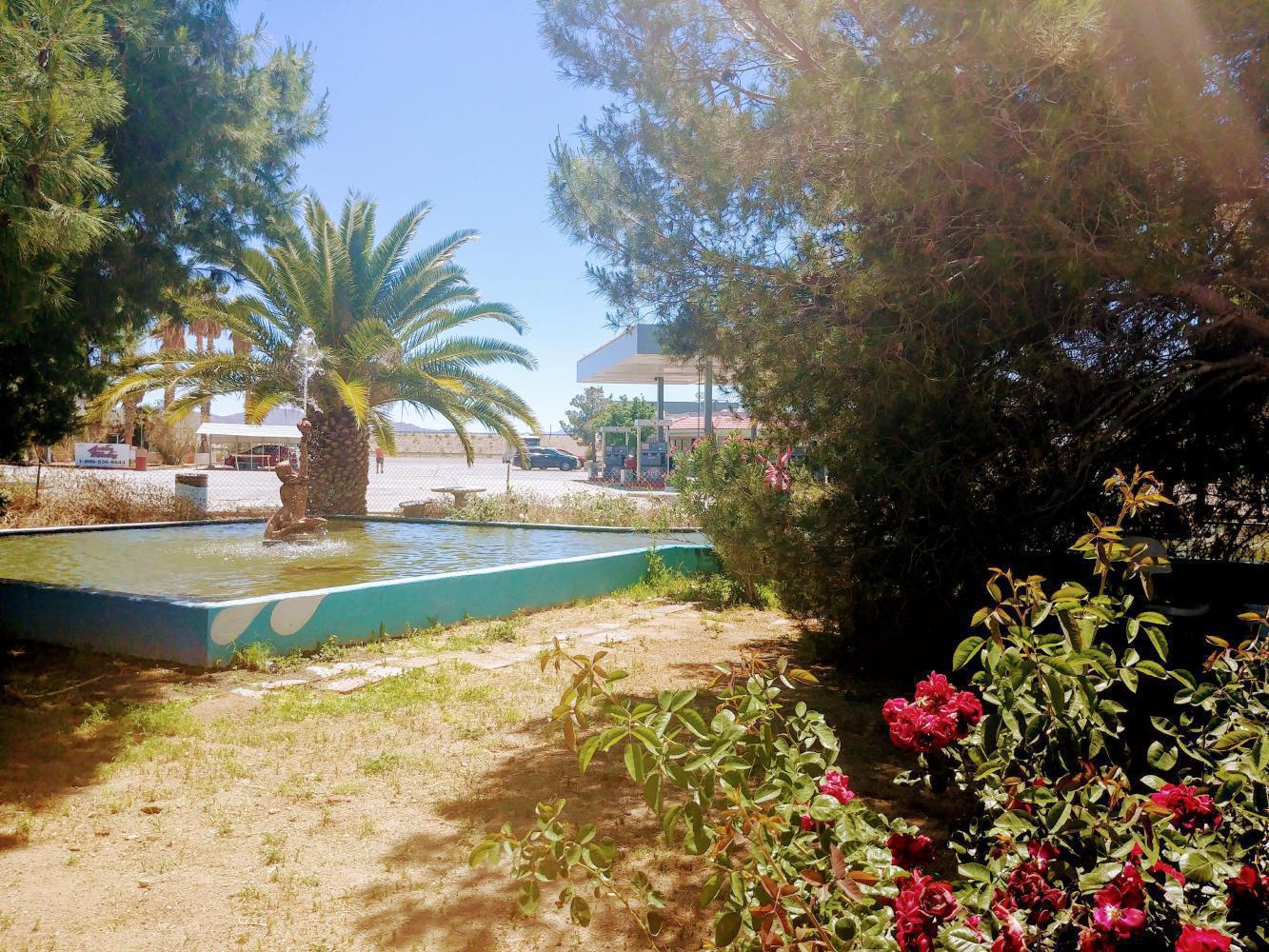
Fourteen more miles got us to the peak of the climb in Goffs, which apparently has people but no services. From there we coasted downhill to the day's halfway point at Najah’s Hi Saharah Oasis in Fenner, the only water stop between Needles and Amboy. There in the middle of the blazing desert, a spring flows among palm trees and flowers. We enjoyed lunch in the shade and bought a bag of ice to refill the water bags and bottles.
| Heart | 1 | Comment | 0 | Link |
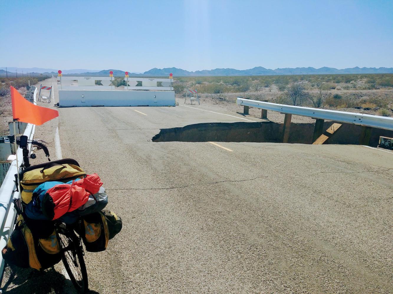
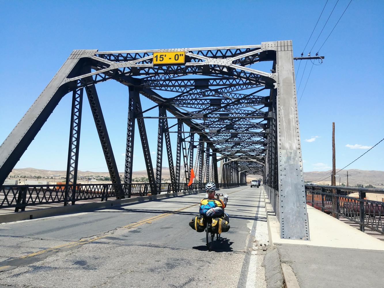
After Fenner, we came to a “Road Closed” sign. The Adventure Cycling route continued past it and other travelers said it was passable on bike so we rode on to cross five bridges in various states of decay. The first one was completely severed. A gravel path around it was good enough to walk the bikes past and continue. The rest had big holes that we were able to zig zag around.
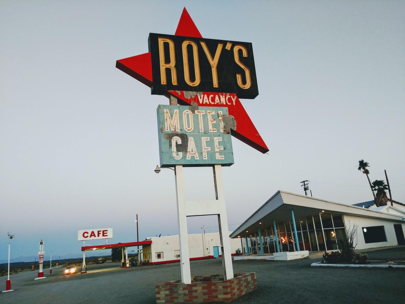
The last 15 miles were mostly downhill to Roy’s Motel and Cafe in Amboy. The motel is closed and the cafe is now a gas station and convenience store. Pulling up the empty gravel drive, we could hear Jim Morrison singing “People are Strange” on a large loudspeaker in the parking lot.
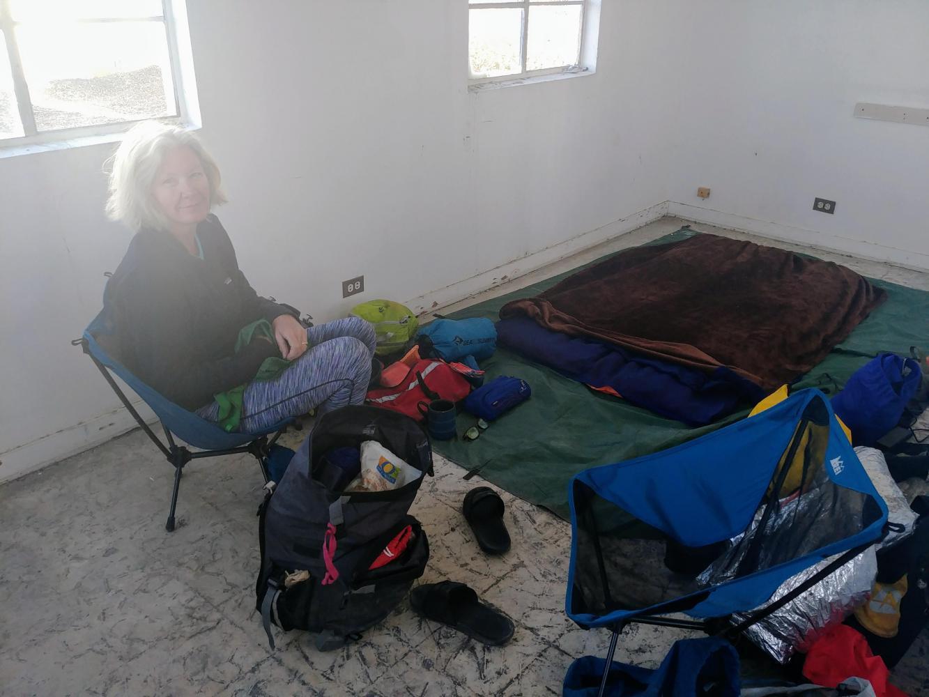
The guy in the store told us that Roy's wasn’t a campground and the water was non-potable, but we could camp in one of the old rooms and buy all the water we wanted in $2 half-liter bottles. That sounded fine; we had low expectations and just wanted to get out of the wind.
After sweeping up the broken glass in one of the motor court buildings we set up shop. Even with all the missing windows, the room made a decent wind break. We fired up the camp stove and feasted on canned chicken and ramen, listening to the Doors play on until dark. Then a large semi-trailer pulled up nearby and the engine ran all night over the rumble of the trains.
| Heart | 3 | Comment | 0 | Link |
Amboy to Newberry Springs, 58 miles
Our second day on the National Trails Highway featured less climbing and more wind. I worked on my skills drafting behind Barry and played numbers games to pass the time - 3 miles to the top of this climb, 8 miles to lunch, 10 miles to the halfway point for the day.
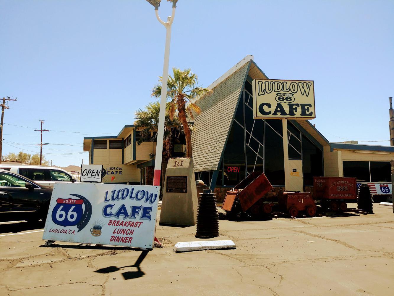
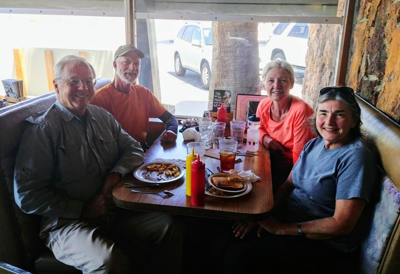
After 29 miles, the Ludlow Cafe was a welcome sight. It was the first real cafe since Needles, and we were thrilled to meet up for lunch with Todd and Cheryl Collart, friends from Ventura who were on their way east to Flagstaff. We first met them four years earlier in the campground at Carpinteria State Beach on our southern California Coast tour.
| Heart | 4 | Comment | 0 | Link |
The Adventure Cycling map advised that the old road west from Ludlow to Newberry was very rough and suggested the I-40 shoulder as an alternative. We looked at the 8 mile climb into the wind coming up and decided to take the smooth interstate option to eliminate one degree of difficulty. I'm not sure that was a good trade because a northwest wind was blowing us toward the traffic lane. We bailed at the first exit, 17 miles later. At that point the Route 66 road surface was just fine; not sure how bad it really would have been on the earlier part.
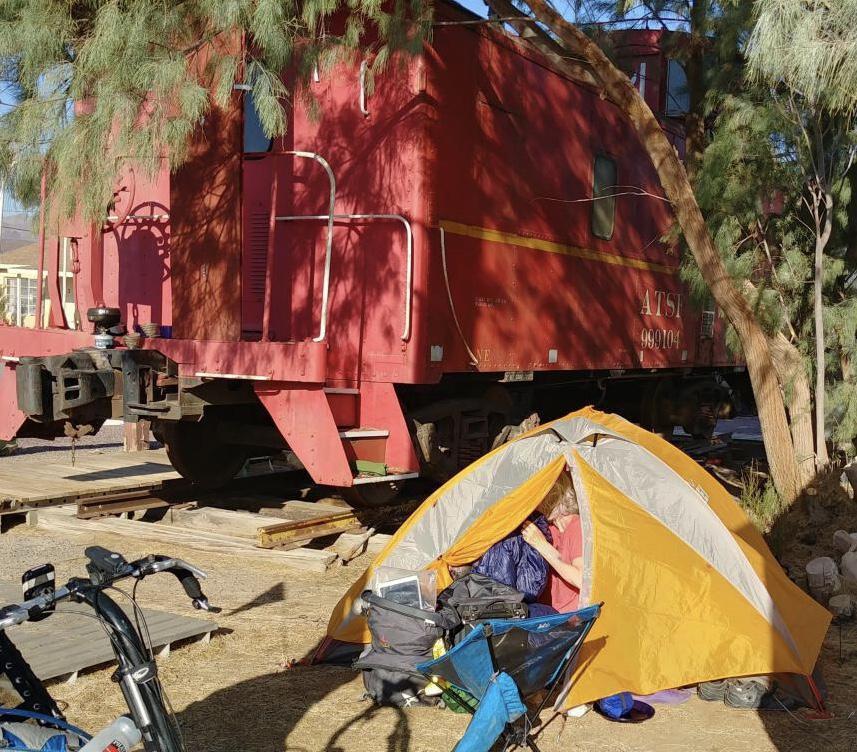
Originally called “Water,” Newberry Springs sits on the Mojave Aquifer. It was a watering hole for wagon trains on the old Mormon Trail and a water source for steam trains and towns in the region. The wind was still wild when we rode into the RV Mountain Park in Newberry Springs. The regular tent sites were totally exposed so we tucked the little tent in behind an antique caboose in the parking lot for cover.
Dinner was at the Bagdad Cafe, known for the 1987 film shot there that's a German cult classic. The movie opens with Jasmin, a German tourist who storms out of the car after a fight with her husband and walks through the scorching desert to a truck stop cafe. There she asks for a job from the owner who is played by CCH Pounder. Colorful characters at the cafe include a Hollywood set-painter played by Jack Palance and a glamorous tattoo artist. With her industrious cleaning, magic tricks and ability to empathize with anyone, Jasmin gradually transforms the place.

Newberry Springs to Apple Valley, 66 miles
The road out of Newberry Springs continues through the desert on the National Trails Highway through Daggett. The small town thrived in the 1890s on borax shipping when the Borate and Daggett Railroad took over the job of hauling borax out of Death Valley from the famous 20 Mule Team. Not too much going on there now.
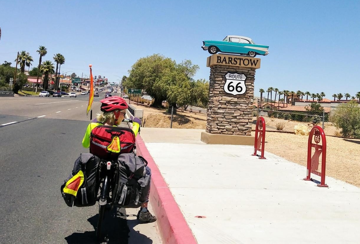
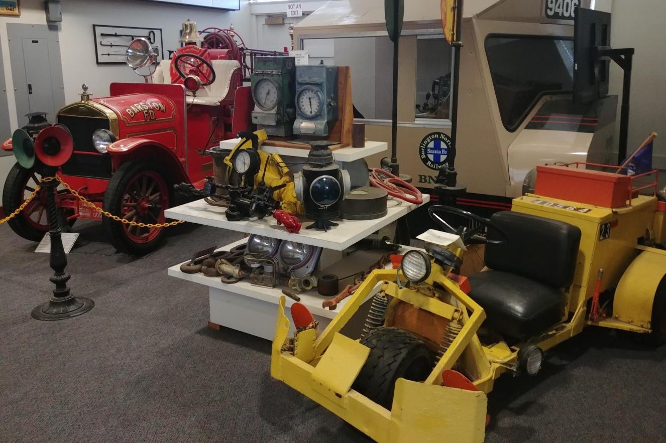
In Barstow we really enjoyed the Western American Railroad Museum. There's a great collection of railroad artifacts, artwork, tools, timetables and uniforms. From Barstow the highway rolls through Helendale along the Mojave River. We were still out in the country but traffic picked up as we approached Friday evening rush hour.
| Heart | 2 | Comment | 0 | Link |
| Heart | 2 | Comment | 0 | Link |
| Heart | 1 | Comment | 0 | Link |
A little ways past the Bottle Tree Ranch a couple dogs came out for the chase. It boggles my mind when people let their dogs run free on a busy highway. We never know how serious the dogs really are, but these two sounded pretty ferocious and I had a good shot of adrenaline going to pick up the pace.
By Victorville we were in full-on rush hour traffic on busy California 18. After many days of quiet roads it was a shock to be back in the jungle. We made our way to the town of Apple Valley, home of Roy Rogers and Dale Evans, to stay with our wonderful WarmShowers host Anita and her dog Archie. Anita fixed a delicious dinner of veggies with tofu and quinoa and regaled us with stories of riding her recumbent with Archie harnessed in on his special padded seat box.
| Heart | 2 | Comment | 0 | Link |
Apple Valley to Pomona, 65 miles
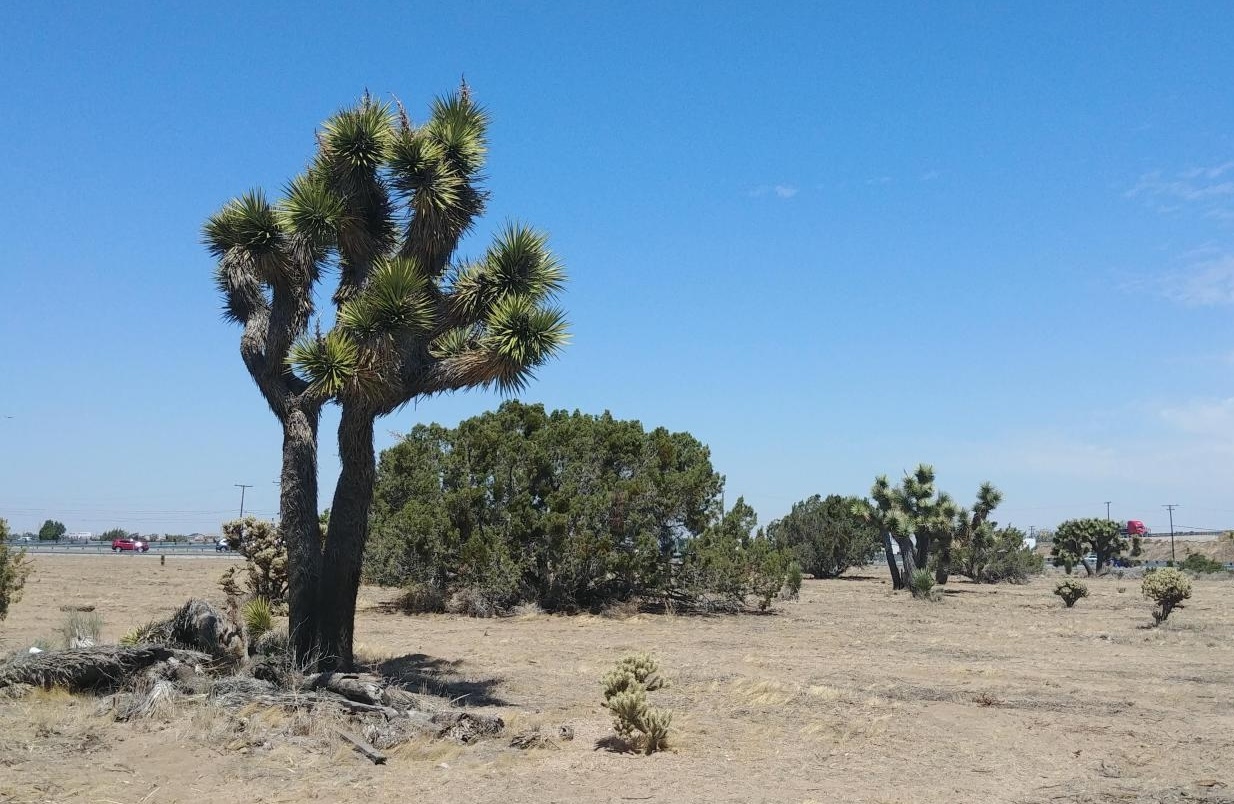
Lately it seems we always start the day with a climb, this time going up 1500 feet along the Mariposa frontage road towards Cajon Summit at 4250 feet. At first the road was in good shape and we enjoyed the view of the Joshua Trees along the way. After Hesperia the road got very rough for about 5 miles, it was hot and the climbing got old.
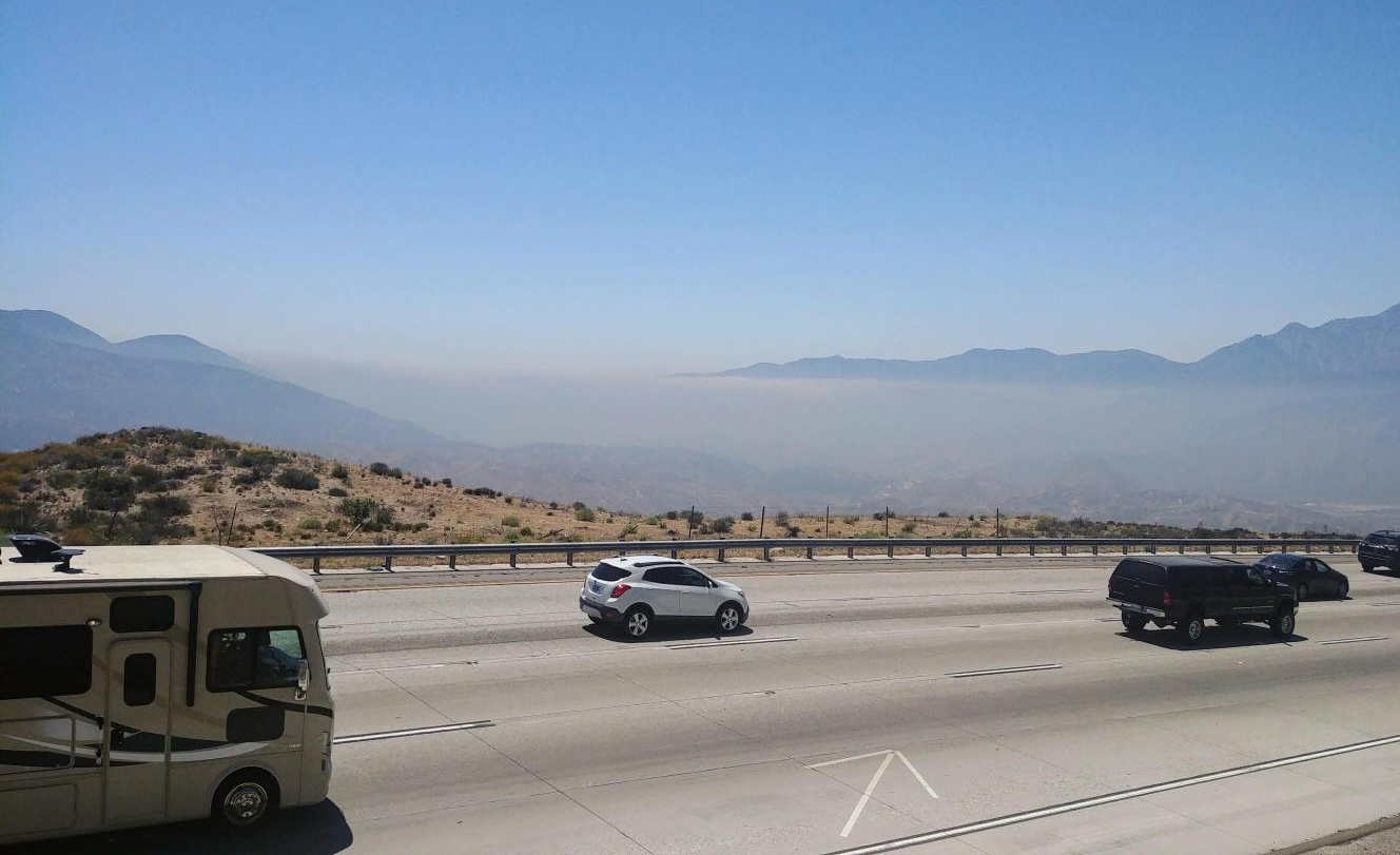
Then we got to the nasty part. To get over the pass we had to ride on the I-15 shoulder. This was our sixth and final mountain pass of the trip. The first five were all pleasant experiences on isolated roads – Glorieta Pass near Santa Fe, Stage Coach Pass on the Turquoise Trail, the Continental Divide at El Malpais in New Mexico, the Arizona Divide west of Flagstaff, and Sitgreaves Pass in Oatman. This one was not even Type II fun. The highway was full of trucks flying by up and over the pass and then down seven more miles into the wind. We had to time our ride past an exit to be sure we weren't caught passing the ramp when a truck was barreling down on it.
A couple miles from our exit a construction sign said “shoulder closed.” That did not sound good. Luckily there was a detour around it so we didn’t have to share the traffic lane. About the only good thing I can say about this stretch is that it was the last time we had to ride the freeway.
| Heart | 2 | Comment | 0 | Link |
| Heart | 2 | Comment | 0 | Link |
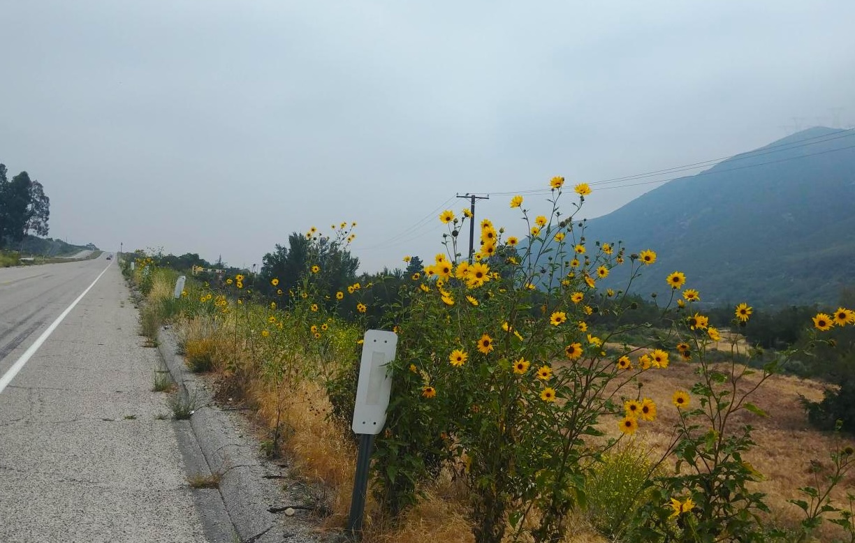
The rest of the day was a pleasure cruise. Flowers appeared as we left the desert and rode through the San Gabriel Mountains. Cajon Boulevard ran downhill with little traffic and cool views of the mountains and trains climbing up the pass. Sierra Road was a gentle steady descent – no need to pedal or hit the brakes, just relax and enjoy the ride. We had a delicious lunch at Mimi’s cafe in Fontana, then cruised down the palm tree-lined Sierra Avenue to the Pacific Electric trail.
Ecstasy might be overstating things, but after the awful crossing over Cajon Pass, it was so nice to ride together and talk along the bike trail from Fontana to Pomona. There were a lot of road crossings but overall this stretch was easy, stress-free and took us to the Pomona/Fairplex KOA.
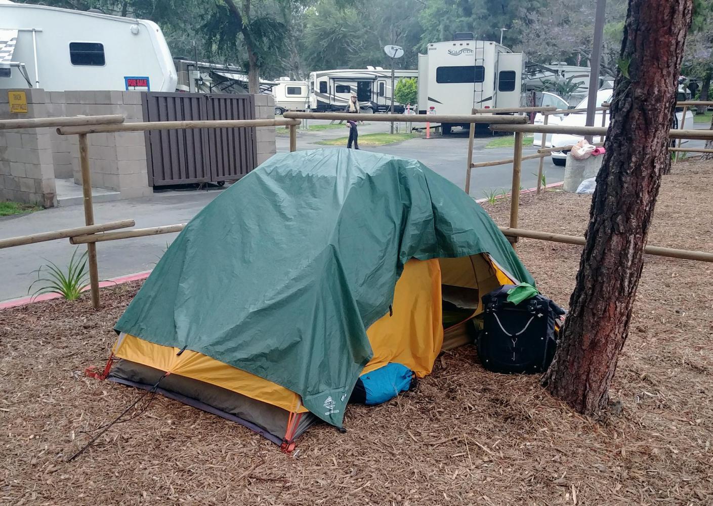
Floodlights over our campsite gave Barry the idea of putting our tarp over the tent, which blocked some of the light. As a bonus, the tent was warmer with the extra layer.
| Heart | 0 | Comment | 0 | Link |
Pomona to the Santa Monica Pier, 54 miles
The morning of our last day on the Mother Road was a pleasant ride through tree-lined streets in the San Gabriel valley towns east of Los Angeles . . . LaVerne, San Dimas, Glendora, Azusa and Monrovia. The route offered different perspectives going through both residential and business areas with flowers everywhere. After the isolation of the desert it was great to see people out enjoying the day - going to church, playing Mariachi music at a town festival, cheering kids on at a baseball game.
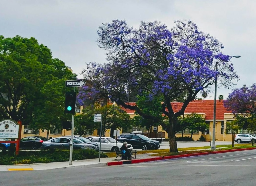
Pasadena was very pleasant to ride through past large elegant homes and smaller houses with roses lining white picket fences. We had a great lunch at the Urbane Cafe and visited Arlington Gardens, a quick stop with amazing displays of plants adapted to the Mediterranean climate of the area.
| Heart | 1 | Comment | 0 | Link |
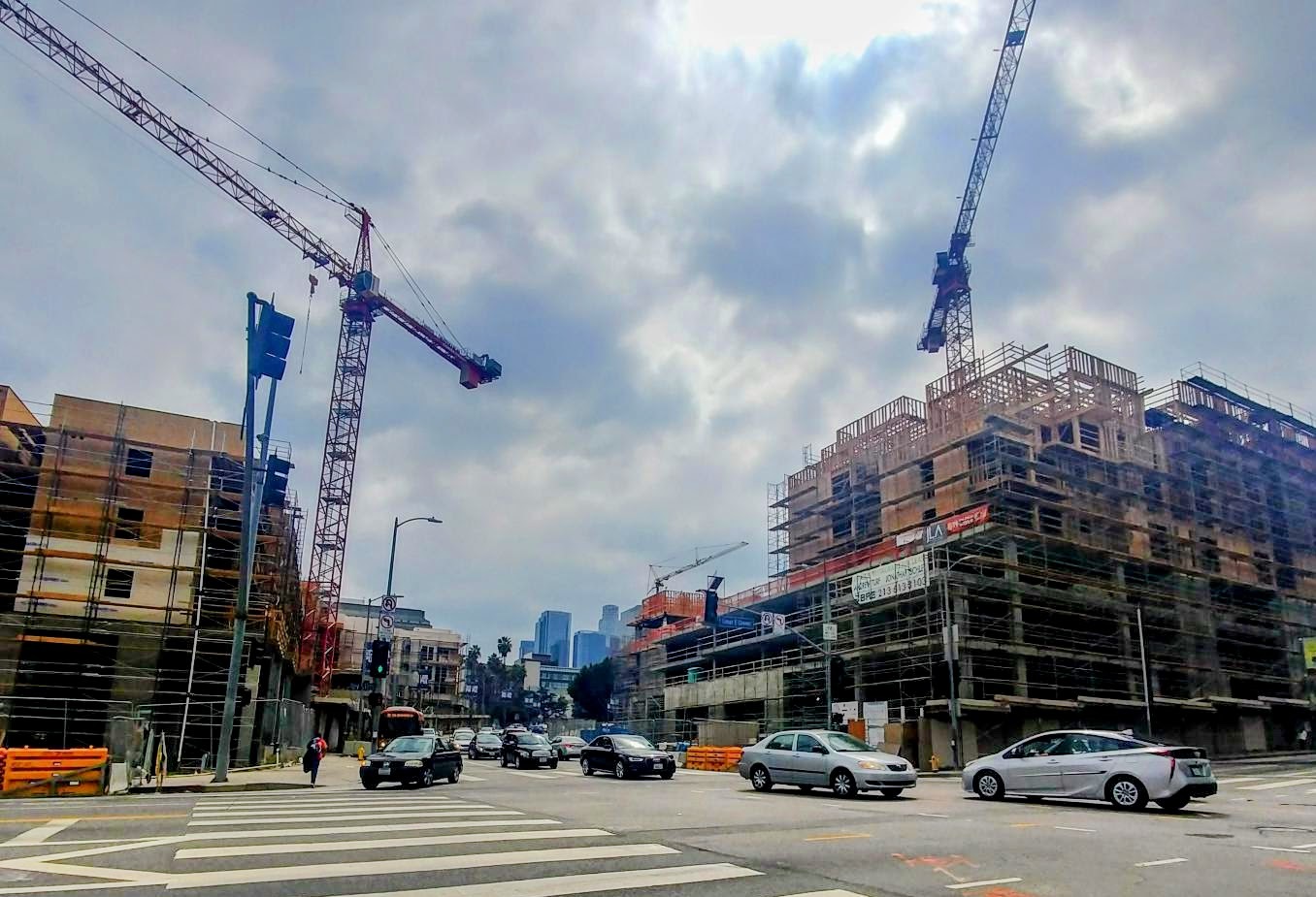
The afternoon ride was a different experience. The route headed south from Pasadena towards downtown through Lincoln Park, Chinatown, Echo Park, Little Armenia and Hollywood. The streets were noisy and chaotic, changing names, changing them back, roads merging. It was hectic on a Sunday; I can only imagine what a weekday would be like.
We focused on navigating the traffic, maintaining our position among the cars and buses, bike lanes that appeared and disappeared and endless traffic lights. We didn’t take too many pictures through this part, just concentrated on getting through it.
What made it doable was the bike lanes where they existed, street markings for where to ride and patient motorists. Nobody laid on their horns behind us, in fact we didn’t encounter any drivers who seemed hostile or annoyed at our presence. Many of the drivers at intersections, merges and other tricky spots waited for us or waved us on.
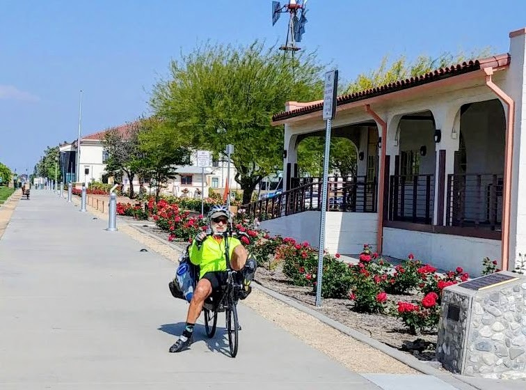
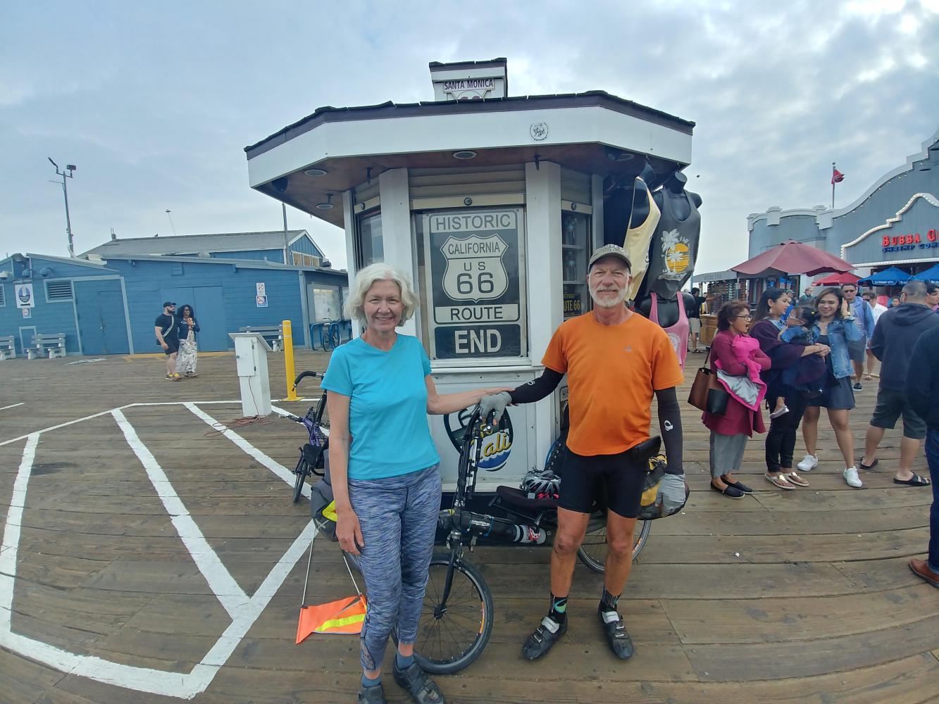
The riding was easier through Beverly Hills to Santa Monica where we joined a big Sunday night crowd at the pier and got the shot we came for, after pedaling 2,300 miles from St. Louis.
Looking back almost eight years later I'm struck by the mileage and all the camping we did on that trip. Over the five day crossing through California we averaged 64 miles a day. The sweet spot for touring these days feels more like 40, and we only camp when it's really necessary, or really fantastic - Anastasia State Park in St. Augustine comes to mind. It seems we've gone soft.
Once in a while Barry suggests we take another ride down Route 66. After revisiting this one, I'm definitely glad to have had the experience but am not eager to repeat it. We have a lot more territory to cover.
| Rate this entry's writing | Heart | 8 |
| Comment on this entry | Comment | 6 |
1 week ago
1 week ago
1 week ago
1 week ago
1 week ago