September 28, 2017
Wallace to Avery Idaho
Elevation gain: 3,652 feet
Today was to be the highlight of the trip: The Route of the Hiawatha. http://www.ridethehiawatha.com/the-trail
This is a popular section of trail for day users who can rent bikes and be shuttled to and from the trail. For those who are shuttled, it starts out with a 1.6 mile tunnel, followed by a series of trestles and shorter tunnels. We of course, would not be shuttled. The plan was to ride up to it, then ride the Route of the Hiawatha, before riding on to Avery.
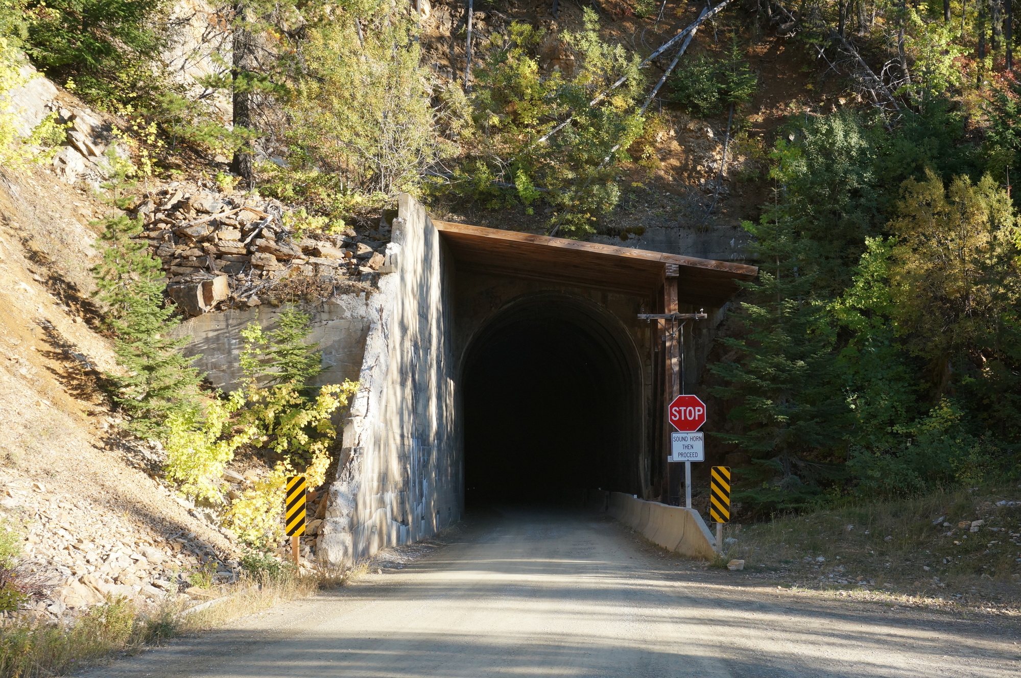
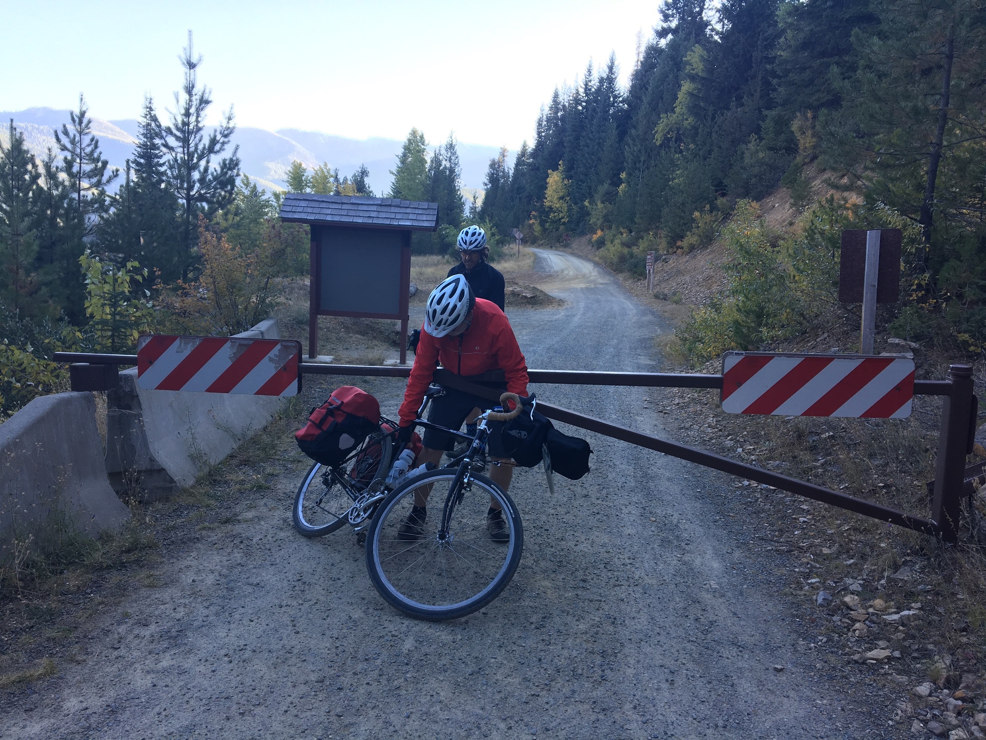
Unfortunately, we learned during breakfast that the Route of the Hiawatha had just been closed for the season. What’s worse is we learned that "closed" meant that they literally closed big doors to the tunnel, so at least for the tunnel, it really was closed.
At this point, there were three ways to get to Avery. One was to ride up and over Roland Summit, the mountain that the Route of the Hiawatha tunnel went through. With any luck, we could pick up the rest of the Route of the Hiawatha on the other side of the tunnel and get to Avery before dark. Two was to take a shorter route over Moon Pass. Still a long grind up a gravel road, but easier than Roland Summit. The third choice would be to punt and find a ride. The first choice seemed like a stupid idea, so that's what we did.
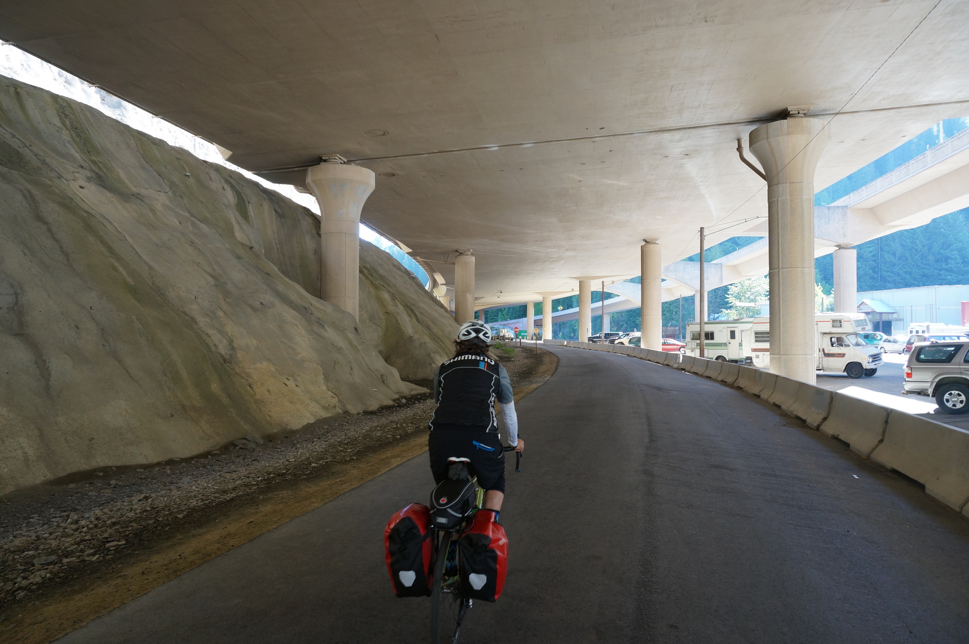
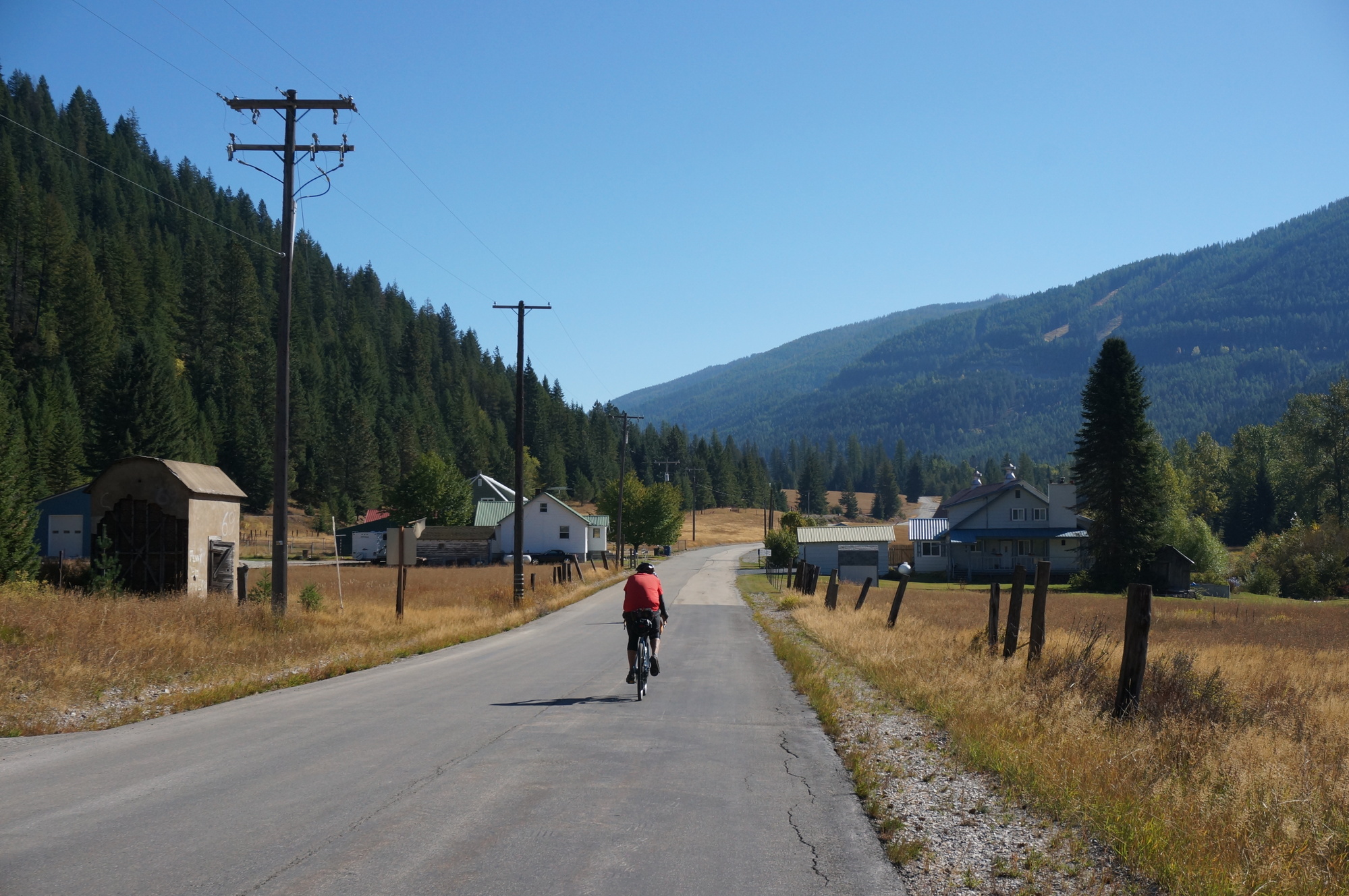
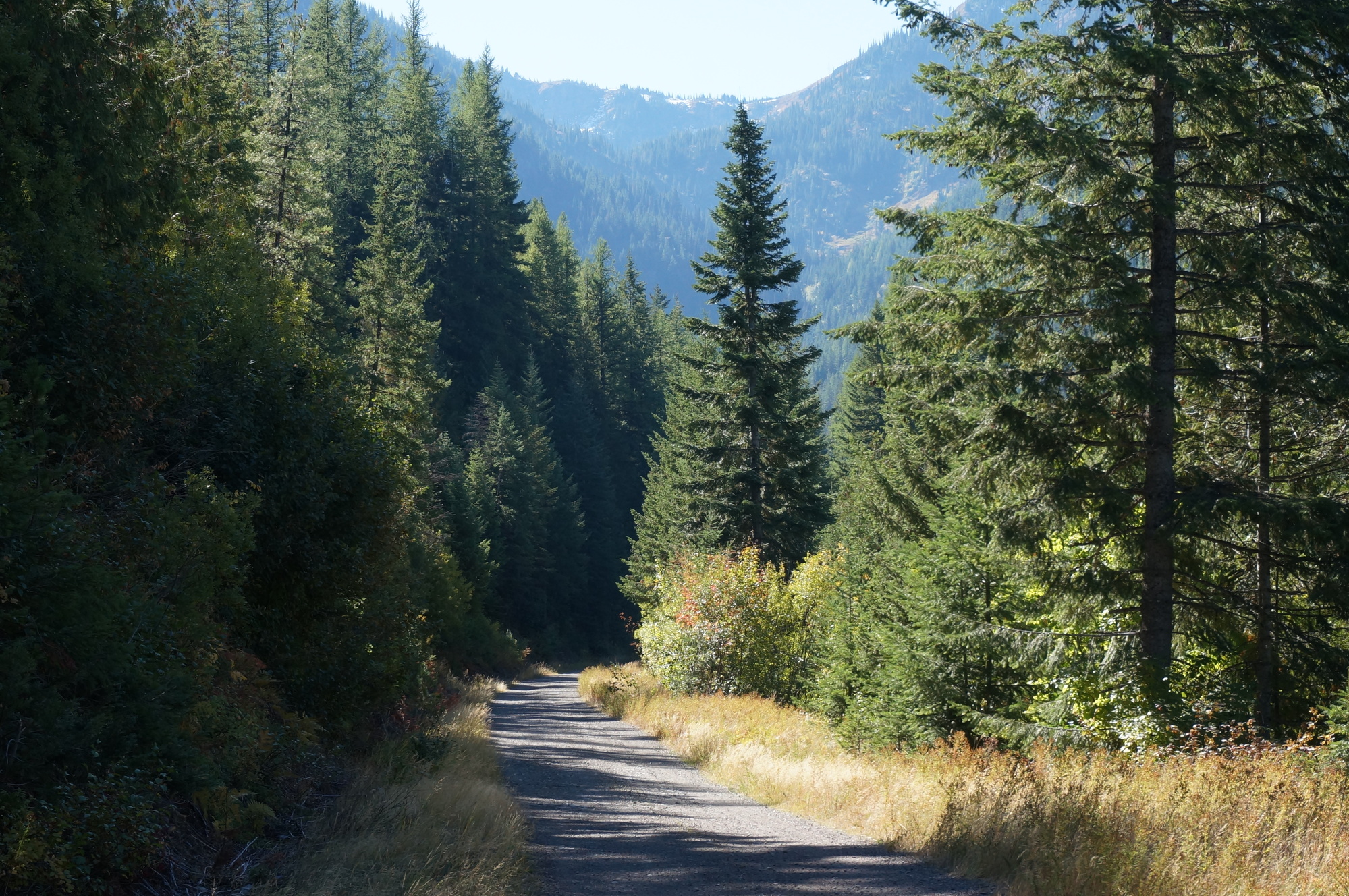
The day started out on the trail of the Coeur d’Alanes which took us to Mullan. From Mullan we took a road that eventually turned to gravel. When that road ended, we picked up the old rail turned gravel road known as the Northern Pacific Trail and started to climb. It was railroad grade, so not too steep, but it was gravel, so it was still a grind.
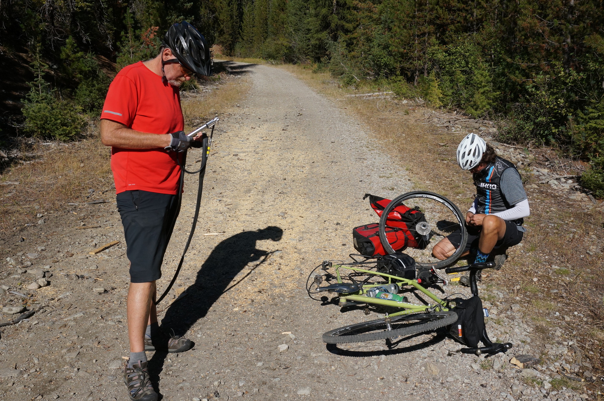
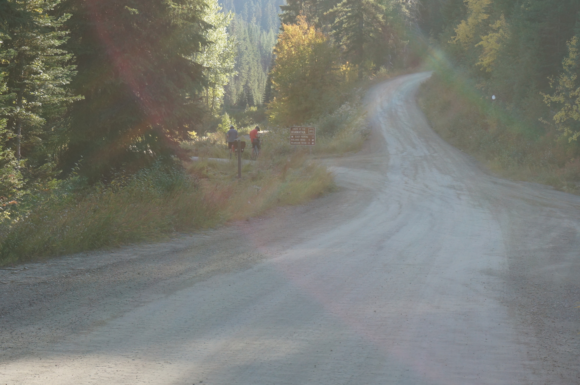
After a very long climb, we reached Lookout Pass Ski area, which runs the shuttle buses to the Route of the Hiawatha. There was still some hope that we would find out at Lookout Pass that the tunnel was not really closed, but our hopes were dashed. Next we rode our bikes up to the the start of the Route of the Hiawatha. At this point the road forks with the left going into the now closed tunnel, and the right switching from a nice rail grade to a 15+ degree climb up to Rolland Summit. We reluctantly went right. Doug showed off by peddling the 2 miles to the summit, while I, pushed and cursed my way to the summit. The ride down the other side was not much better as you had to brake so hard, I had to stop several times just to rest my arm muscles.
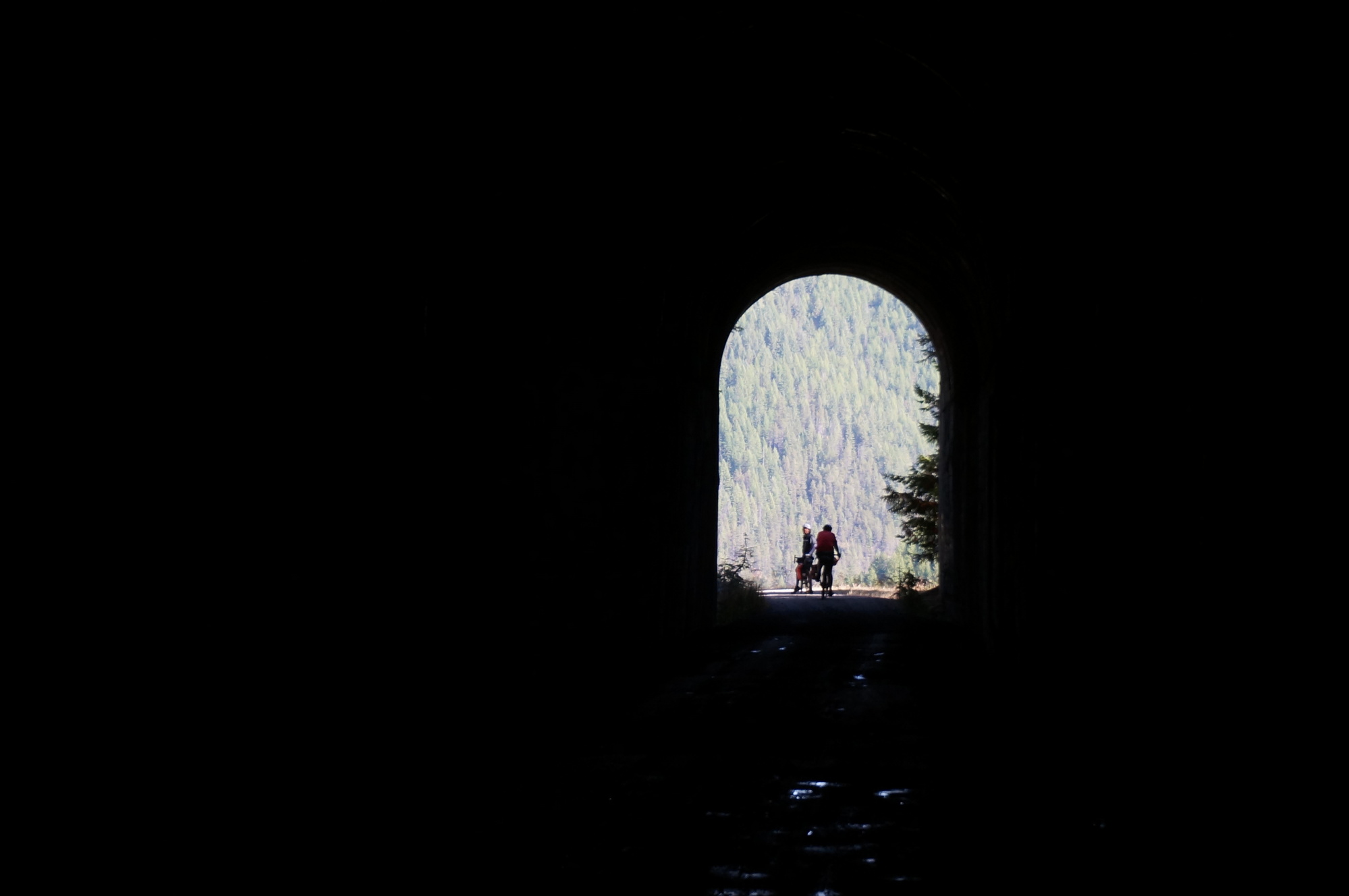
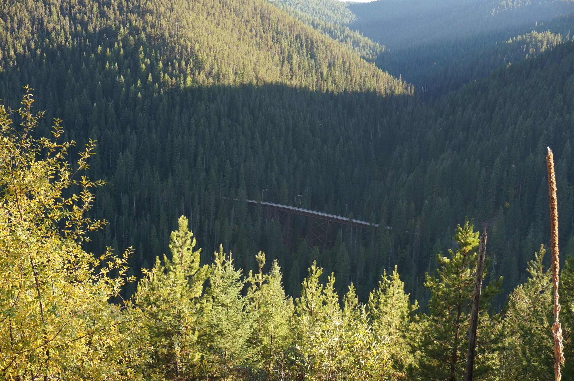
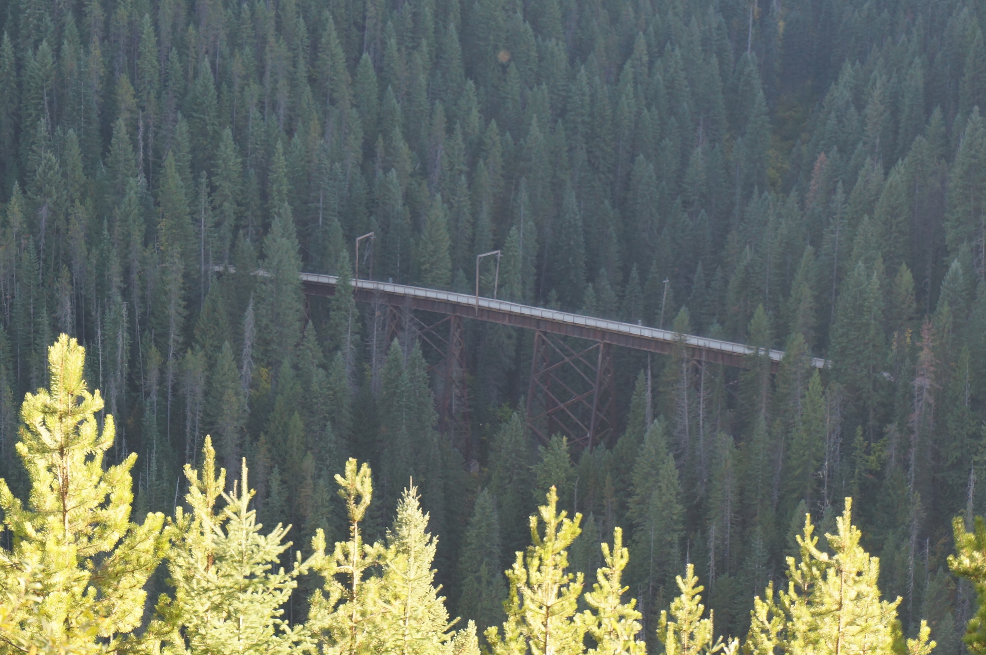
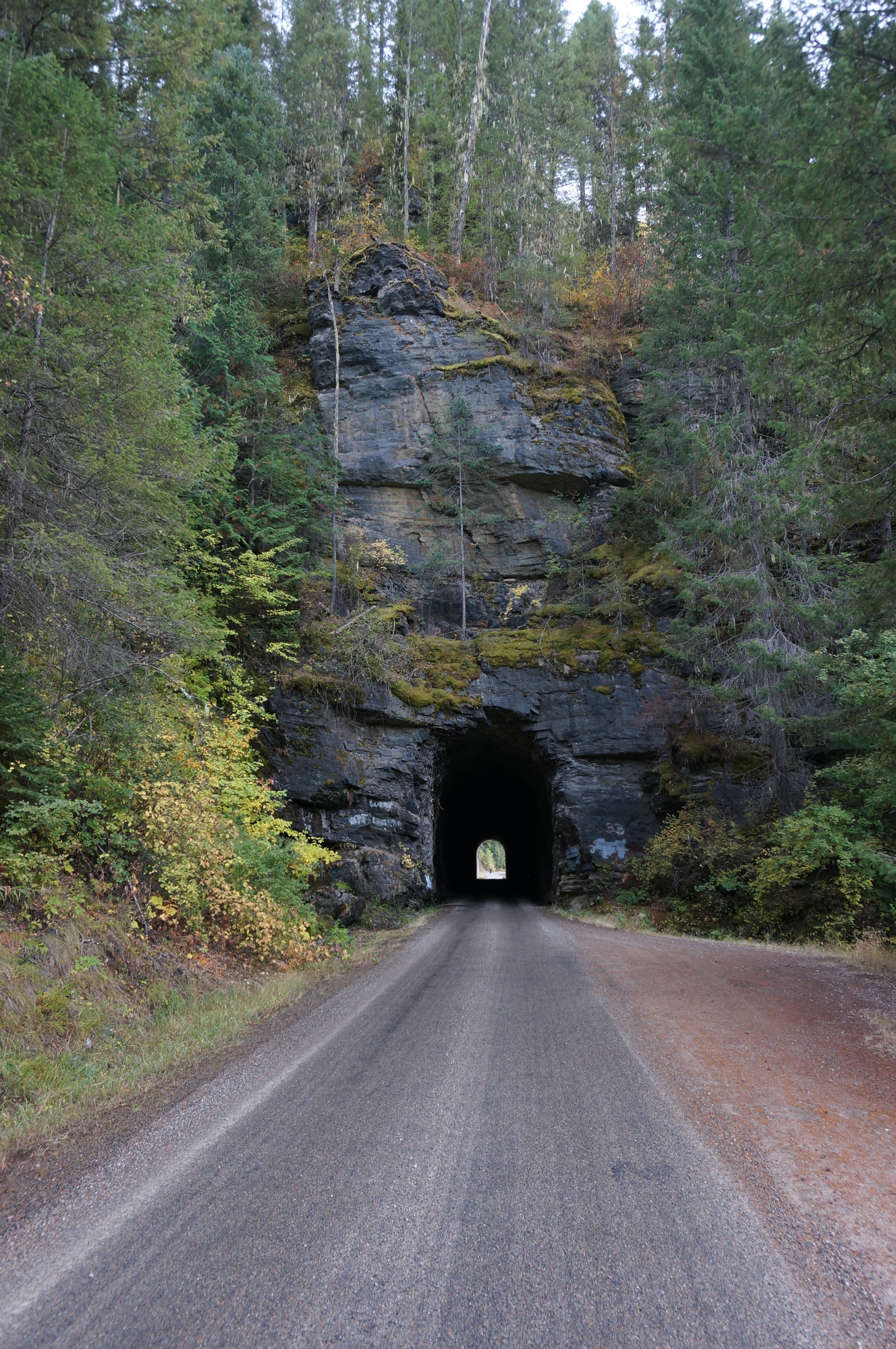
Once we rejoined the Route of Hiawatha we had finally arrived at what should be the highlight of the trip, but with the sun sinking ever lower in the sky. The road was now composed of nice, hard packed gravel and was slightly downhill. We had an hour or so of glorious, effortless riding, rushing over trestles and through short tunnels, stopping only briefly to snap a photo here and there knowing time as against us. After that, we still had a good stretch of gravel road to ride and we reached Avery in the dark.
No moose sightings.
| Heart | 0 | Comment | 0 | Link |
| Heart | 0 | Comment | 0 | Link |
| Heart | 0 | Comment | 0 | Link |
| Heart | 1 | Comment | 0 | Link |
Today's ride: 59 miles (95 km)
Total: 230 miles (370 km)
| Rate this entry's writing | Heart | 3 |
| Comment on this entry | Comment | 0 |