August 2, 2025
Grant County
Mount Storm
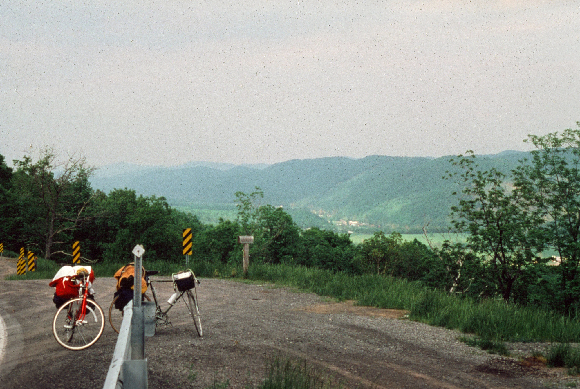
Back in 1978 and about a week into a cross country bicycle tour, a friend and I ended up in Mount Storm, West Virginia. It had been a long day of riding... and sometimes walking... up long hills with fully loaded bicycles. When we reached this very small town, it had been an exhausting day on the road. We were ready to find a place to roll out our sleeping bags and crash. Someone told us about a place where we could camp.
My faded 47-year old memory is of a little park on a winding hillside that was a wee bit outside of town. It was Memorial Day Weekend, but there was no traffic and not a single tourist (except us) to be found in this out-of-the-way hamlet. We were not intruded upon. I slept under the stars and soundly that night. Although I have fond memories of Mount Storm, it took me nearly half a century (in years) to get back there.
| Heart | 0 | Comment | 0 | Link |
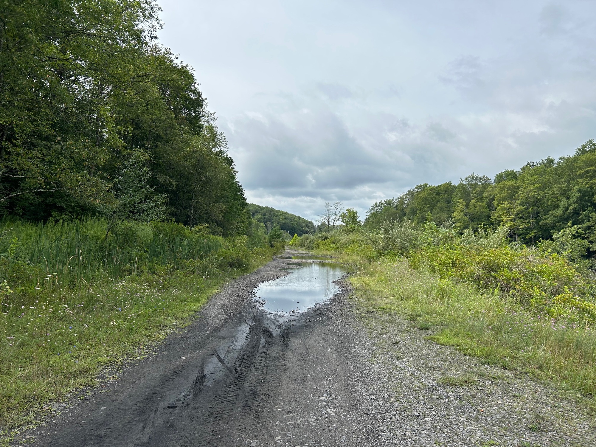
The "triumphant" return ride began in Thomas, West Virginia on a cool August morning in 2025. I headed Northeastward on the Blackwater Canyon Trail (BCT), which was quite rough. For a little over two miles I picked my way through large rocks, mud, and huge puddles until the trail met the paved road near the junction of US-219 and SR-90. My way forward from there was on the State Road.
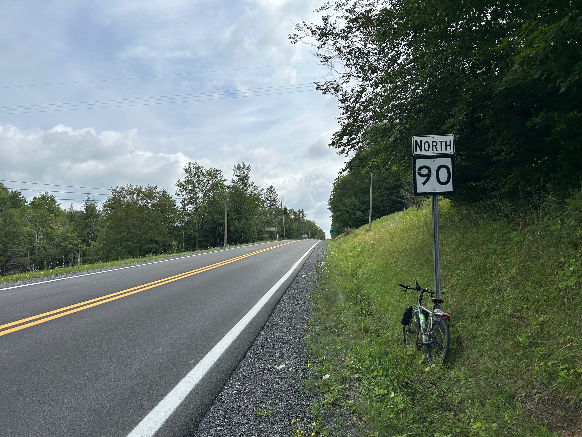
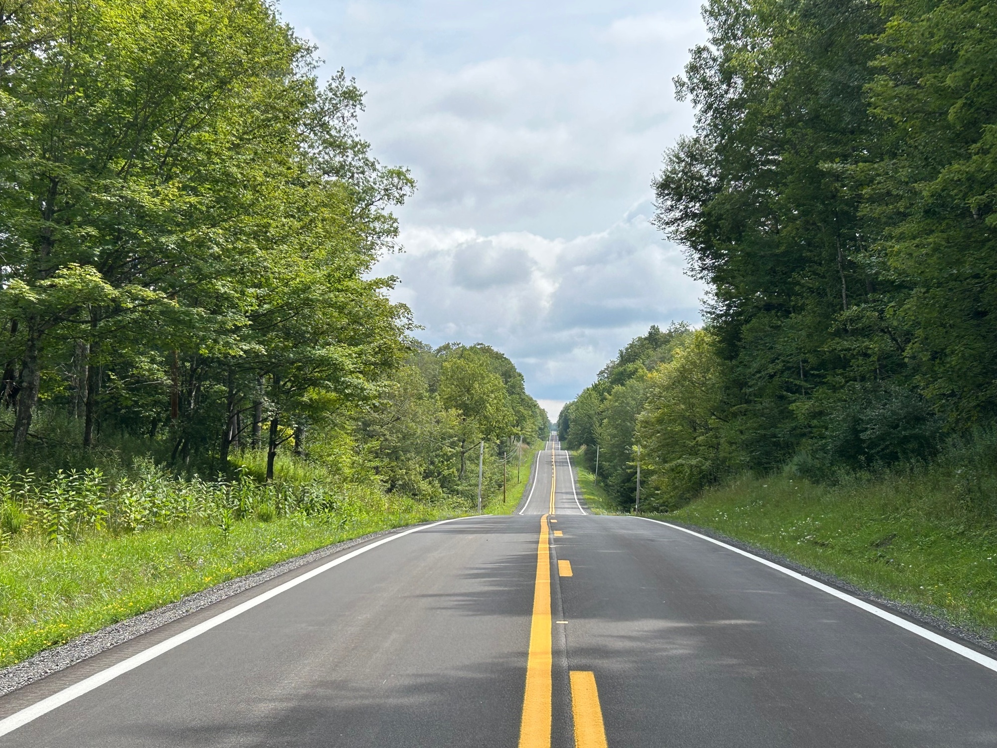
SR-90 turned out to be a great road for cycling. Traffic was minimal, the road was smooth, the terrain was rolling but there were no large climbs to speak of. Despite the narrow road shoulders that are typical on state roads in West Virginia, the traffic and terrain conditions made my ride to the Grant County Line and beyond, quite pleasant.
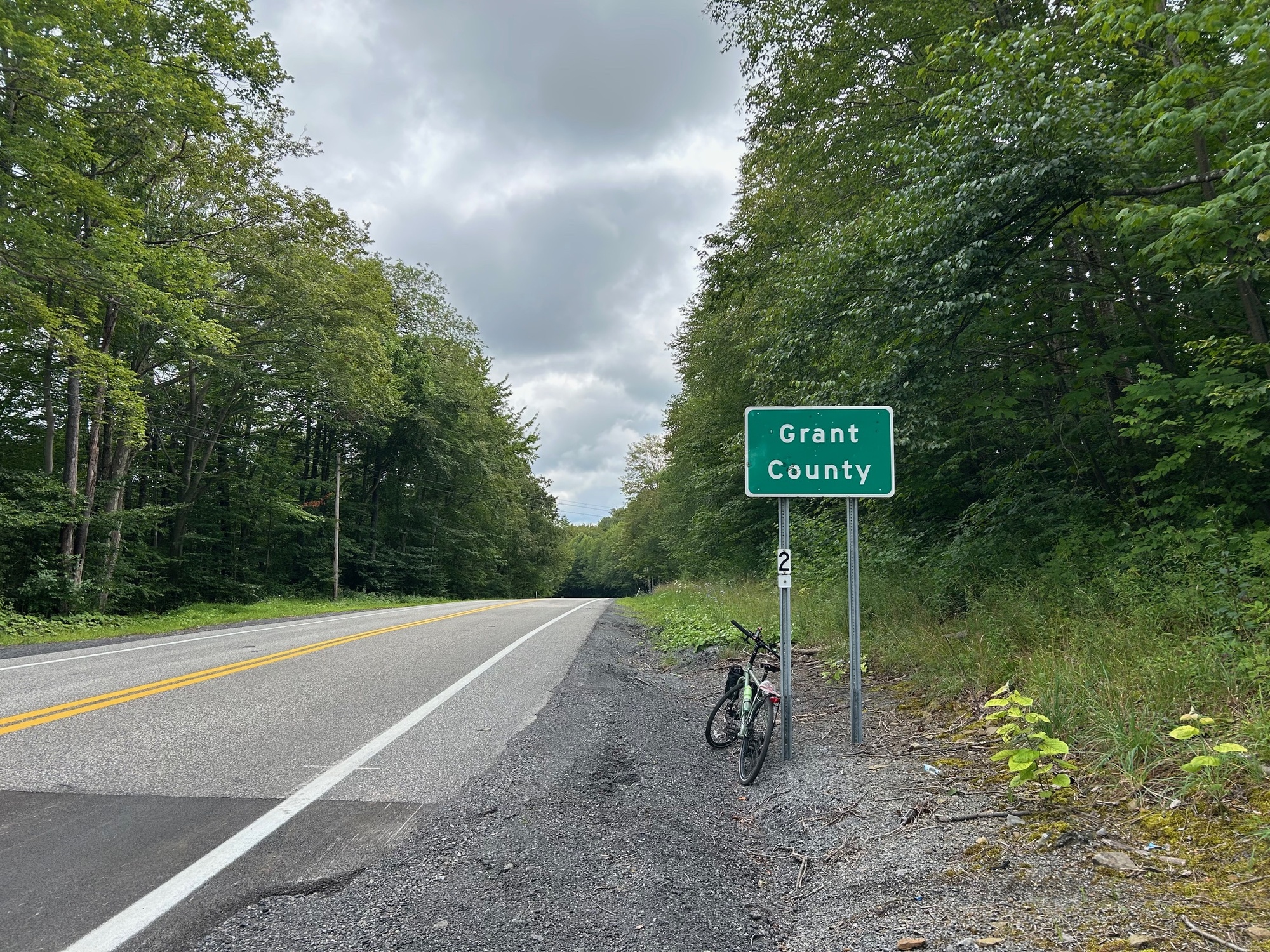
Grant County lies within what is considered to be the Eastern Panhandle of West Virginia. As you may remember from previous chapters, West Virginia has two panhandles, a Northern and an Eastern. There is a map, showing all of the Mountain State Counties with those of the Eastern Panhandle colored red, in Chapter 13, entitled "Berkeley Springs to Paw Paw."
Grant County was created in 1866 from Hardy County, which was previously annexed from Hampshire County in 1788. Grant County is named for the famous Civil War General and 18th President of the United States, Ulysses S. Grant. The county is largely rural with a shade under 11,000 residents. The County Seat is Petersburg. Beyond the county line, the road continued much the same as it had been until I passed through the small village of Bayard.
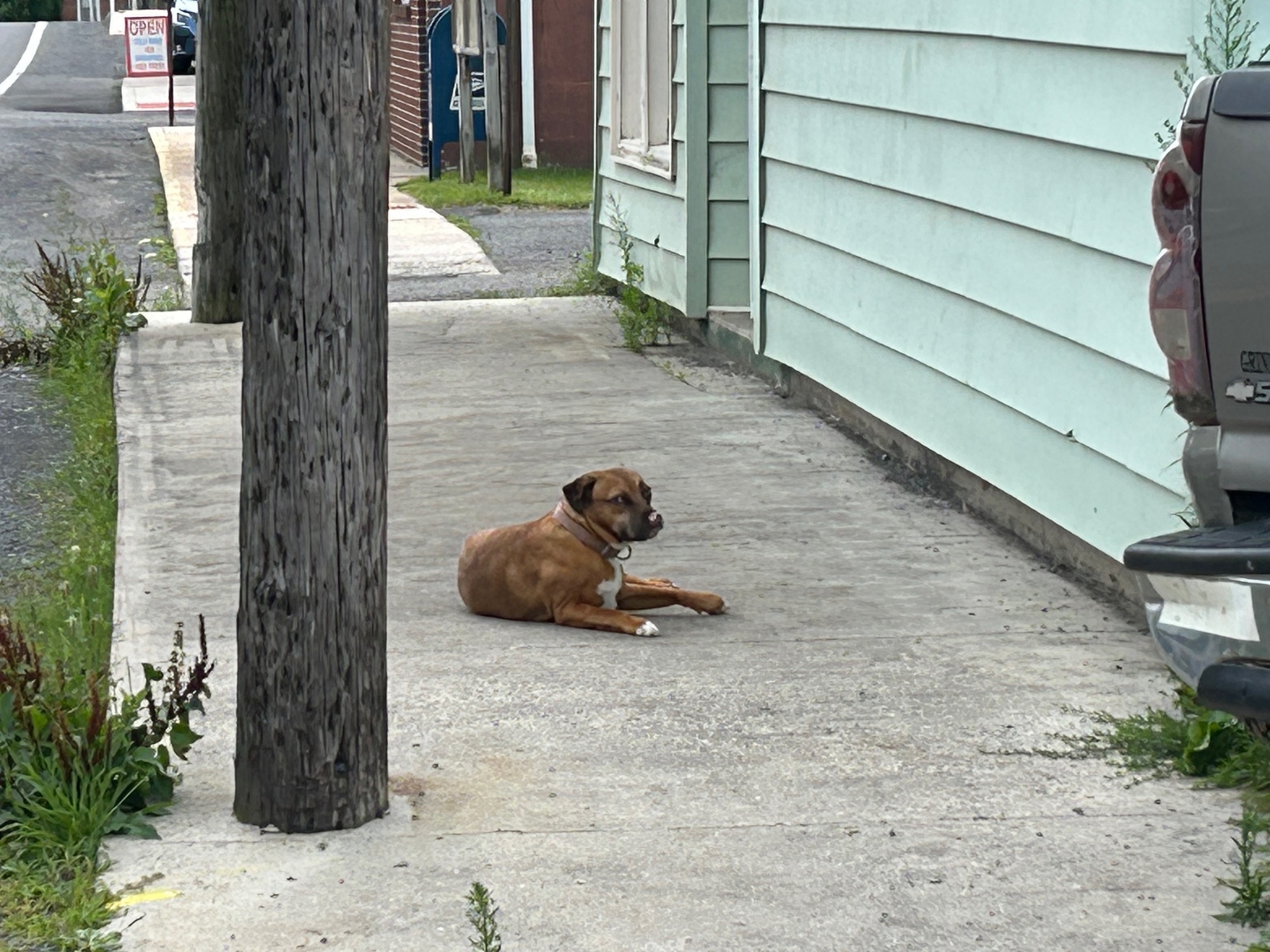
Bayard was an extremely quiet and laid back place. Coal mining and the railroad were and still are the main industries in the town with 200 residents. Not much seemed to be happening on this morning. Even the town watch dog, lying on a seldom used sidewalk, appeared to be only mildly annoyed that this passing cyclist wanted to take a picture.
On the other side of town, SR-90 was closed. The detour required me to take Bayard Cemetery Road, which began to climb significantly more than SR-90 had been doing. My direction of travel changed from Northeast to mostly East. While having to climb over the mountain ridge was inevitable, the task began more quickly and intensely than it might have, if SR-90 had remained open. Fortunately, traffic continued to be very light and stayed that way until the intersection with US-50.
| Heart | 0 | Comment | 0 | Link |
Upon reaching the intersection, I took US-50 East. More traffic was present but it was not as heavy as I expected. US-50 is one of the few federal roads that goes, uninterrupted by interstates, nearly all the way across the country. It starts in Ocean City, Maryland and runs to Sacramento, California, primarily as a two lane highway. I've been across the country on a bicycle on several occasions. US-50 has always been involved to some degree. I suppose I have a bit of a love affair with the road.
"Two lane highway, going my way..." (Pure Prairie League)
The George Washington Highway, as it is also known in these parts, passes through this very unique area where four states lie in close proximity to each other. US-50 crosses through three of them, Maryland, Virginia, and West Virginia. The Pennsylvania border lies a very short distance to the North. There are some vista spots where all four states can be seen. I remember back in '78 having been amazed that on the afternoon of one day and the morning of the next, we went from Maryland to West Virginia to Virginia, near Winchester. From there we went back into West Virginia, eventually reaching the Maryland Panhandle, near Oakland. Then, we ended up back in West Virginia again, after cresting Backbone Mountain, which is the highest point in Maryland. Pretty cool stuff, if you appreciate maps and travel.
The rises and falls along US-50 were greater than what had been encountered earlier. The wooded surroundings were beautiful, making for a nice ride through the area.
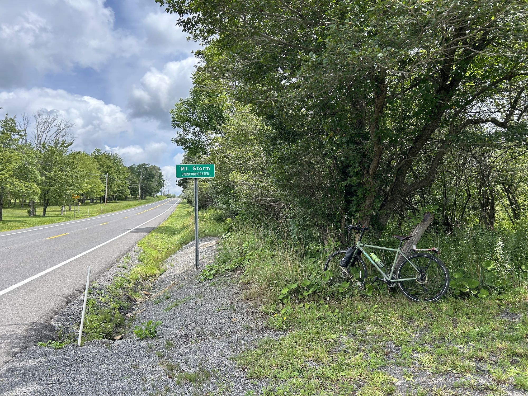
Approximately five miles further, at long last, I reached Mount Storm. The main intersection in town was with US-50 and SR-42. I rode into the Dollar General (DG) parking lot and went inside to get a cold drink. The outside temperature had warmed but was not as sultry as it had been during the past several days.
At the intersection was a prominent building that looked to have been a filling station and store front in a former era. It was familiar to me but if asked beforehand, I would have said it was near Redhouse, Maryland, which lies a few miles down the road. The mind plays tricks on you, especially after nearly 50 years. I was listening to a podcast recently where a psychologist said that some people think, believe, and act a certain way based upon faulty memories from their past. I am not sure how one gets around such obstacles except by challenging those beliefs and going back to the sources, whenever possible. These bike tours I've been taking have helped to set straight some of my old memories. They've served as lessons for the other aspects of my life, as well.
After my break, I went South on SR-42 for about 6 miles. There was a community park in Mount Storm but it lay on relatively flat ground and looked nothing like what I remembered from the '78 trip. Either a new park has been built or I never got to the place where we camped. The clerk in the DG, who was very busy and there wasn’t anyone around to ask.
The only irate motorist I encountered was on SR-42. As I was cresting a rise in the road, a vehicle attempted to pass. The driver became irritated by the poor sight line and my position (to the right but) in the lane of the shoulder-less roadway. The horn blared and startled me pretty good. As the vehicle (a black SUV) passed, I noticed the license plate was from another state. Surely, nobody from West Virginia would be so inhospitable to a guest!
Although that comment was a bit tongue-in-cheek, I have found people here to be courteous and friendly. It's that slower pace of life and the beauty with which they are surrounded that makes them this way, I believe. To me, it seems that West Virginia is a throwback to the way things were when I was younger, say in 1978. Yes, there were a few jerks back then. But people were not in as much of a hurry, were less self-centered, were nicer to each other, and were less suspicious of each other. West Virginia is still like that in many ways. Here's to hoping it stays that way for a long time to come.
| Heart | 0 | Comment | 0 | Link |
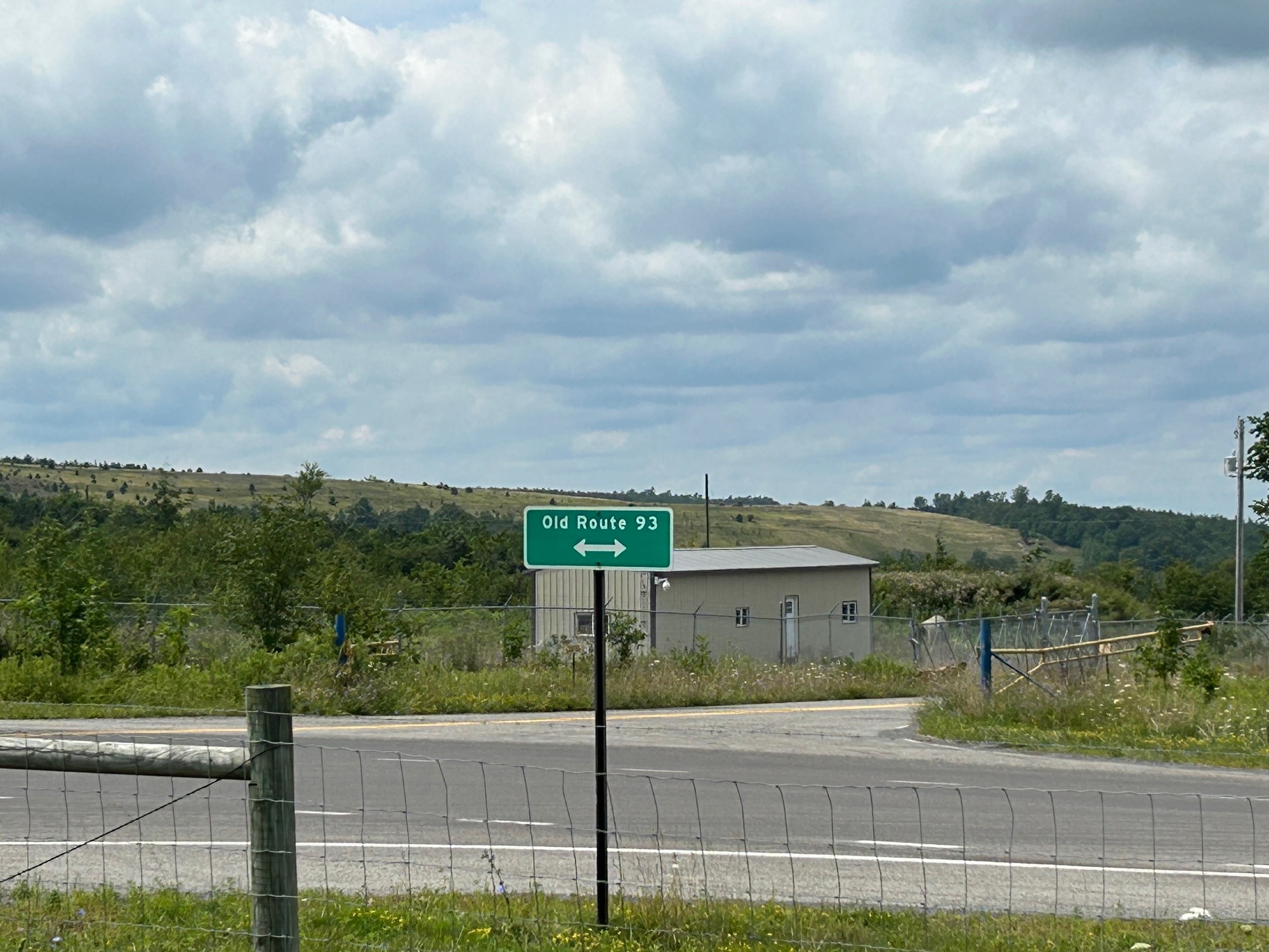
At the junction of SR-42 and SR-93, I turned right (onto SR-93) and accessed US-48 for my return ride to Davis and Thomas. Besides its number designation, the road is also known as the Appalachian Highway, Synergy Highway, and Corridor H. For simplicity, I’ll refer to it as US-48 or simply 48. Although SR-93 runs parallel to US-48 and has very little traffic, I decided to stay on 48 for a while to see how it would be to ride on.
SR-48 is a relatively new divided highway with some intersections with other roads. It also has wide and smooth shoulders that are separated from the travel lanes by rumble strips. Traffic volume is low and what does pass moves over to stay away from a cyclist on the shoulder. Cycling is permitted and there are occasional signs indicating as much.
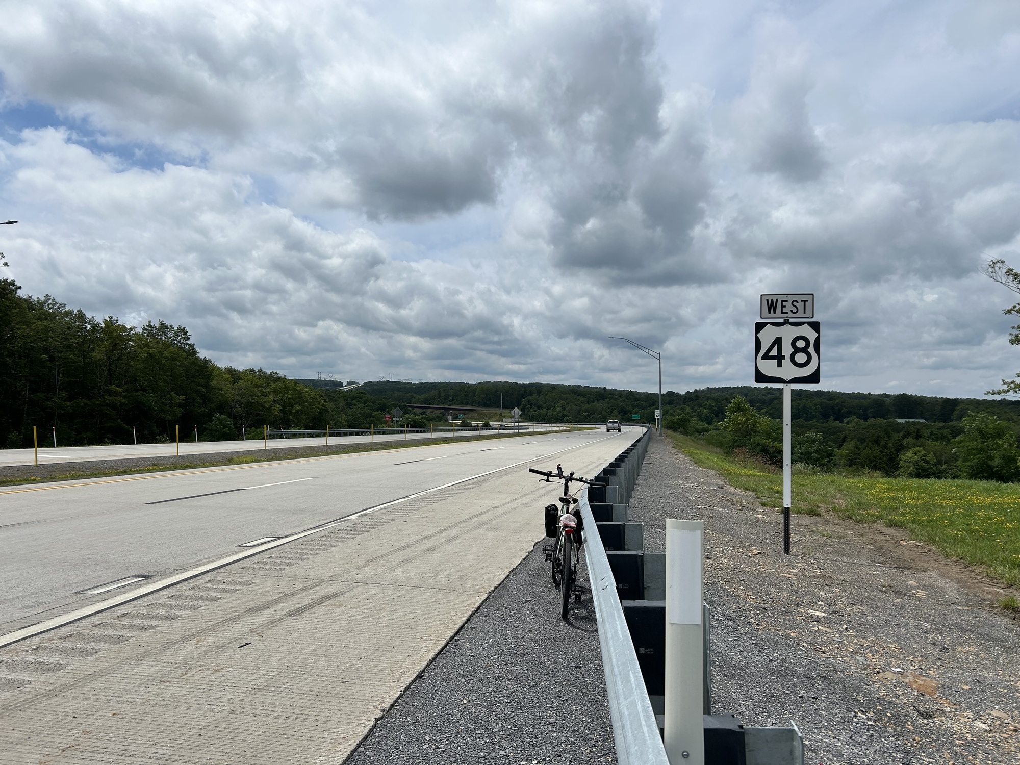
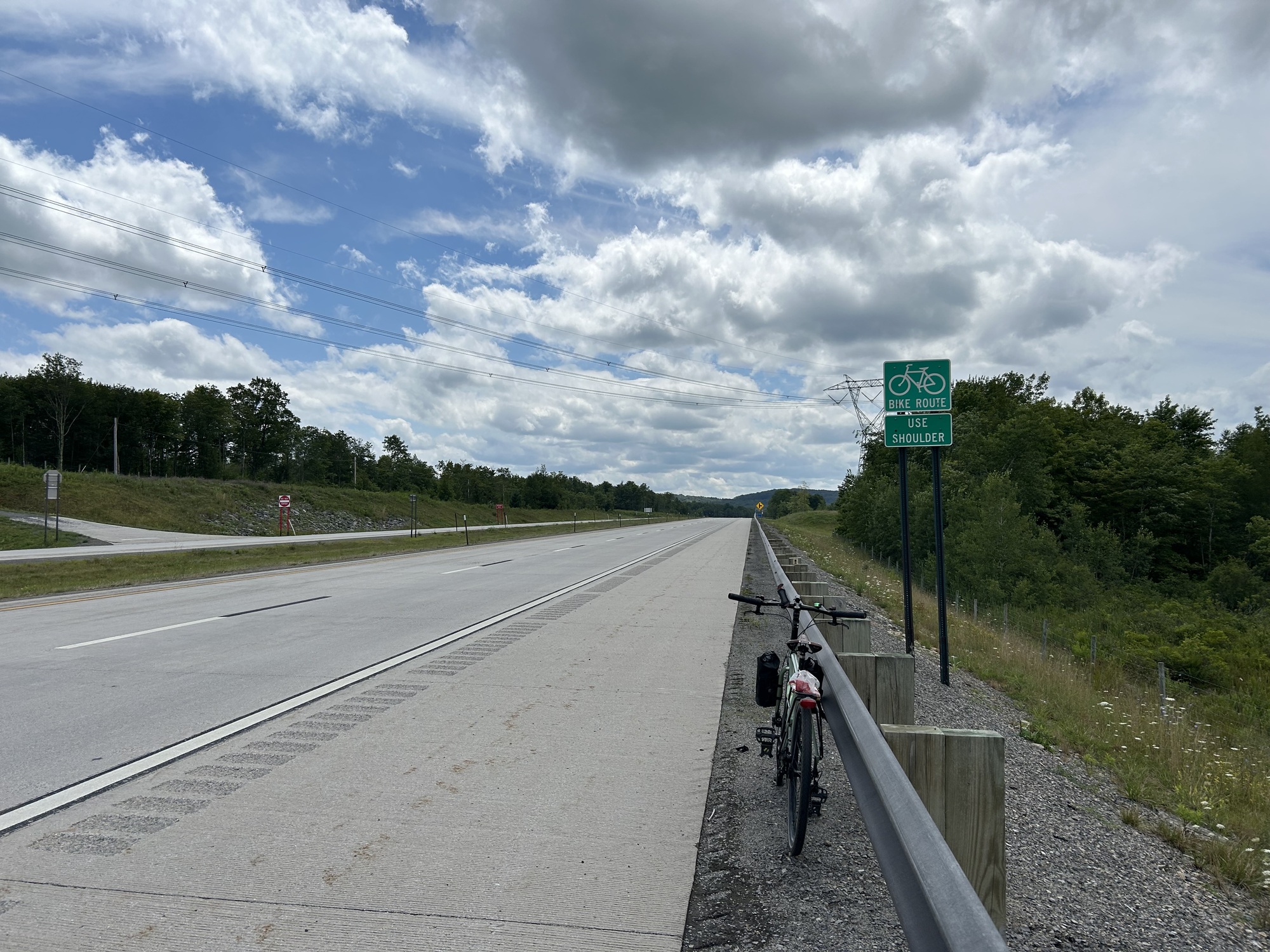
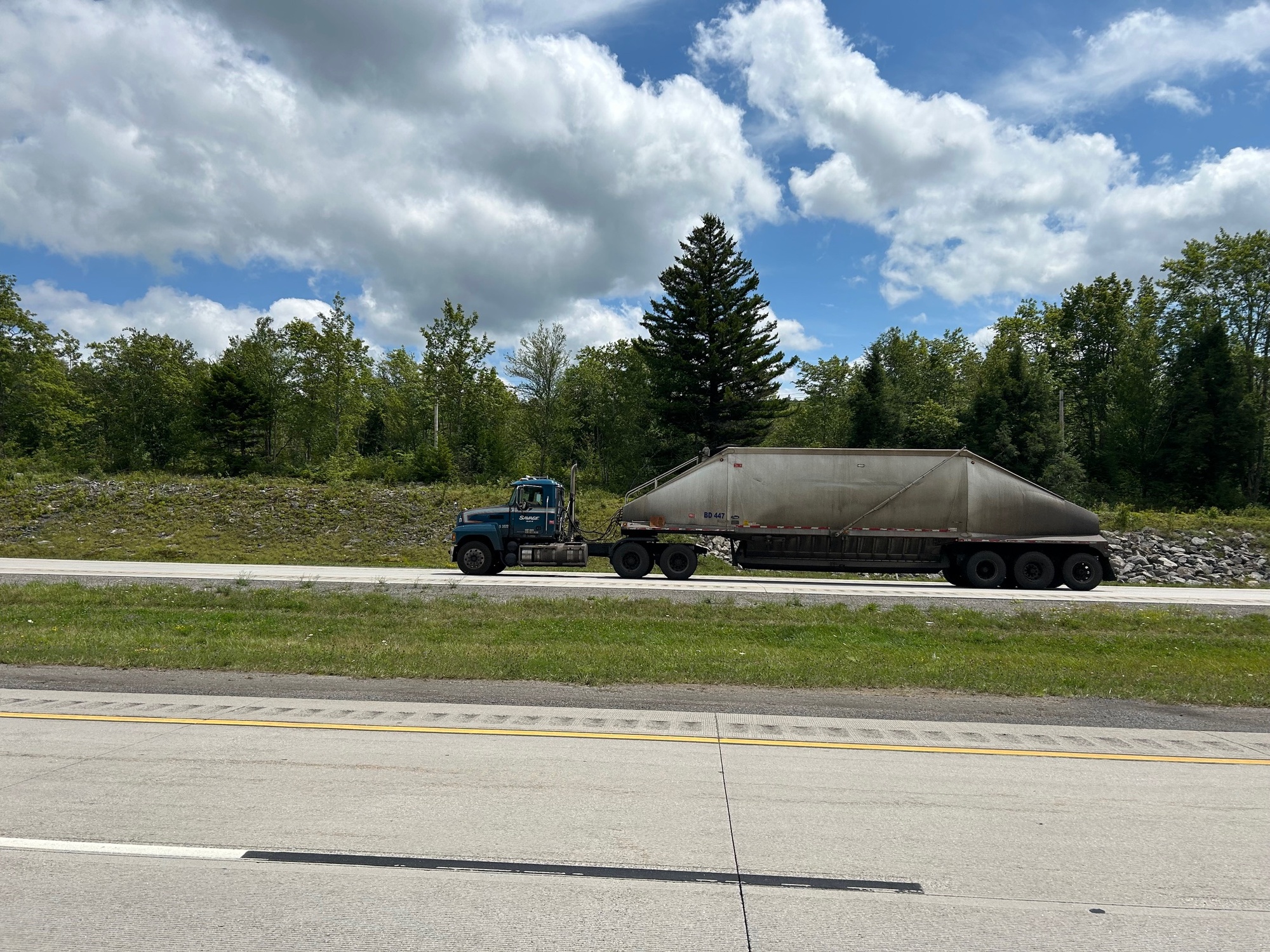
US-48 rolled along, climbing gradually for most of the time I was riding it. Some semi-trucks pulling large but unusually shaped freight trailers would occasionally pass by in both directions. On my side of the divided highway, they always moved over to the left lane when passing, even though my shoulder lane remained very wide. I was grateful for their courtesy and that of all of the other drivers who passed by. The company was Savage Trucking, from nearby Oakland, Maryland. I've made a few inquiries as to what is in those tanks but have yet to receive an answer. Stay tuned because I'll post the answer if I get it.
| Heart | 0 | Comment | 0 | Link |
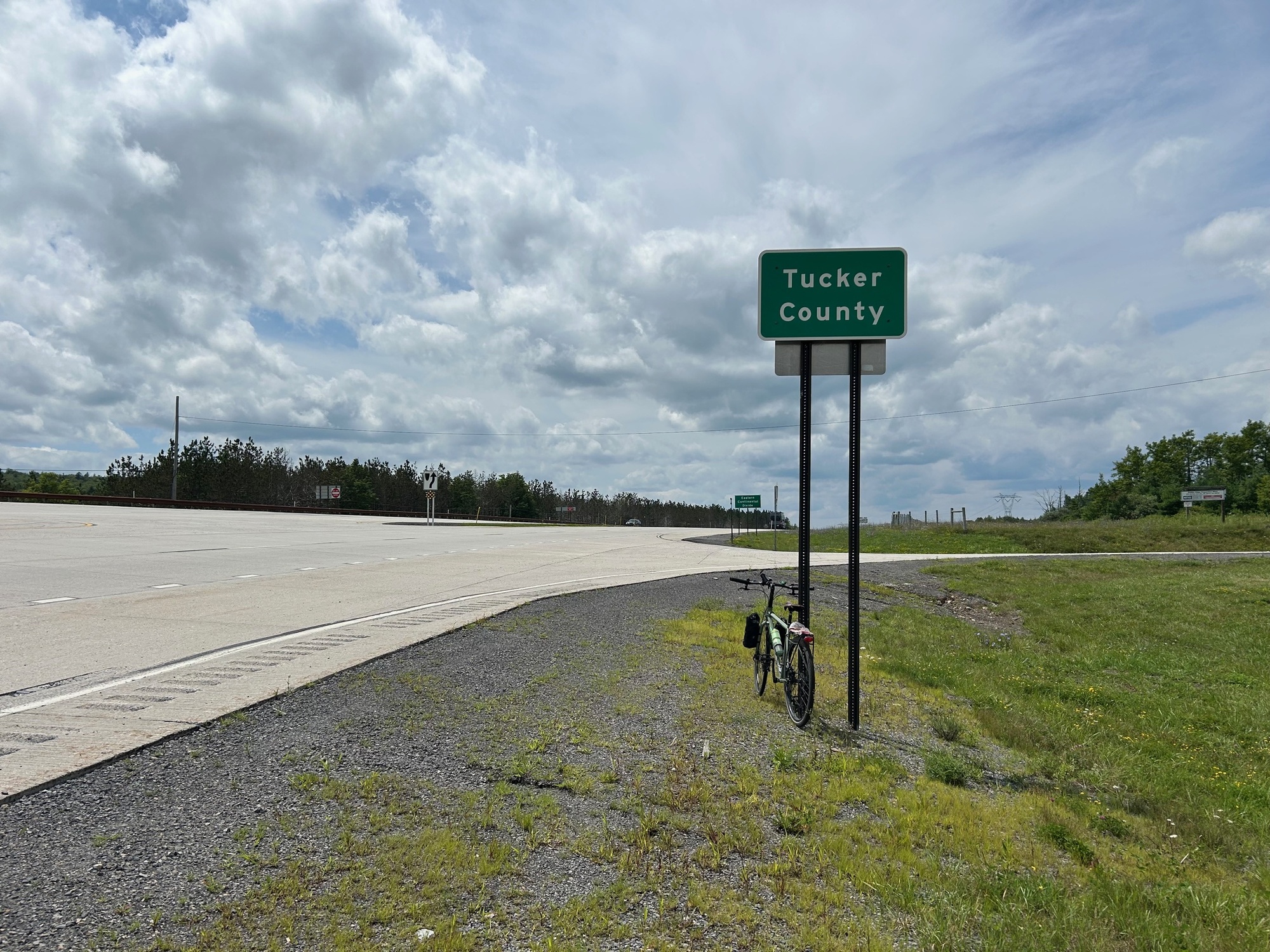
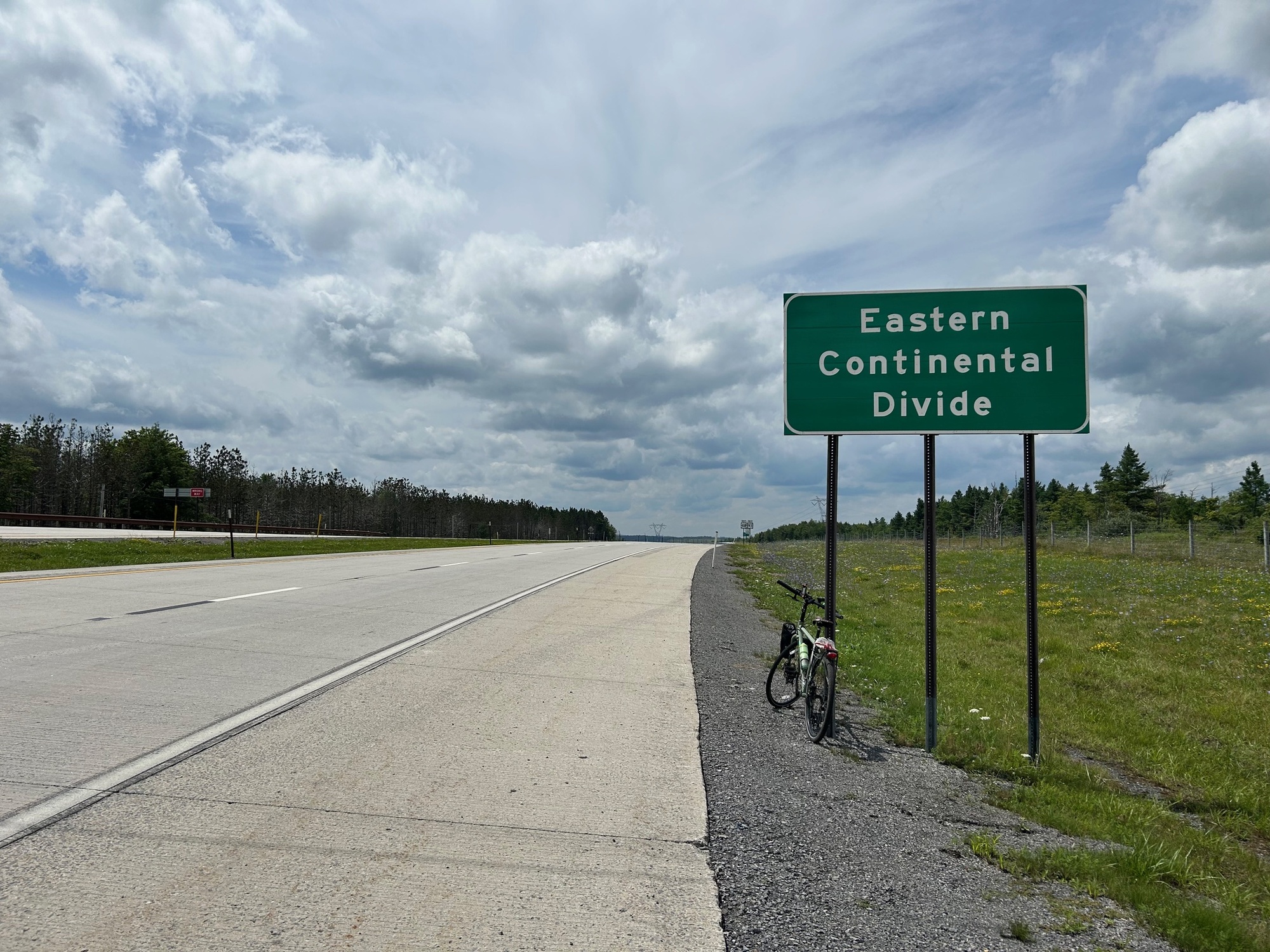
I climbed gradually to a point where there were signs denoting the Tucker County Line and the Eastern Continental Divide. I wasn't expecting the latter but it makes sense, especially considering that Davis lies a short distance away. You may remember, from the last chapter of this journal, Davis is the incorporated town in West Virginia with the highest elevation.
From this point onward, my ride took on a mostly downhill trajectory. Some pedaling was required but the overall effort was much less than it had been to reach this point.
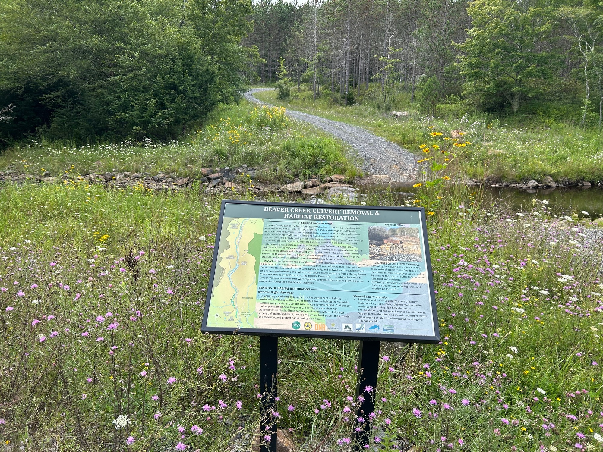
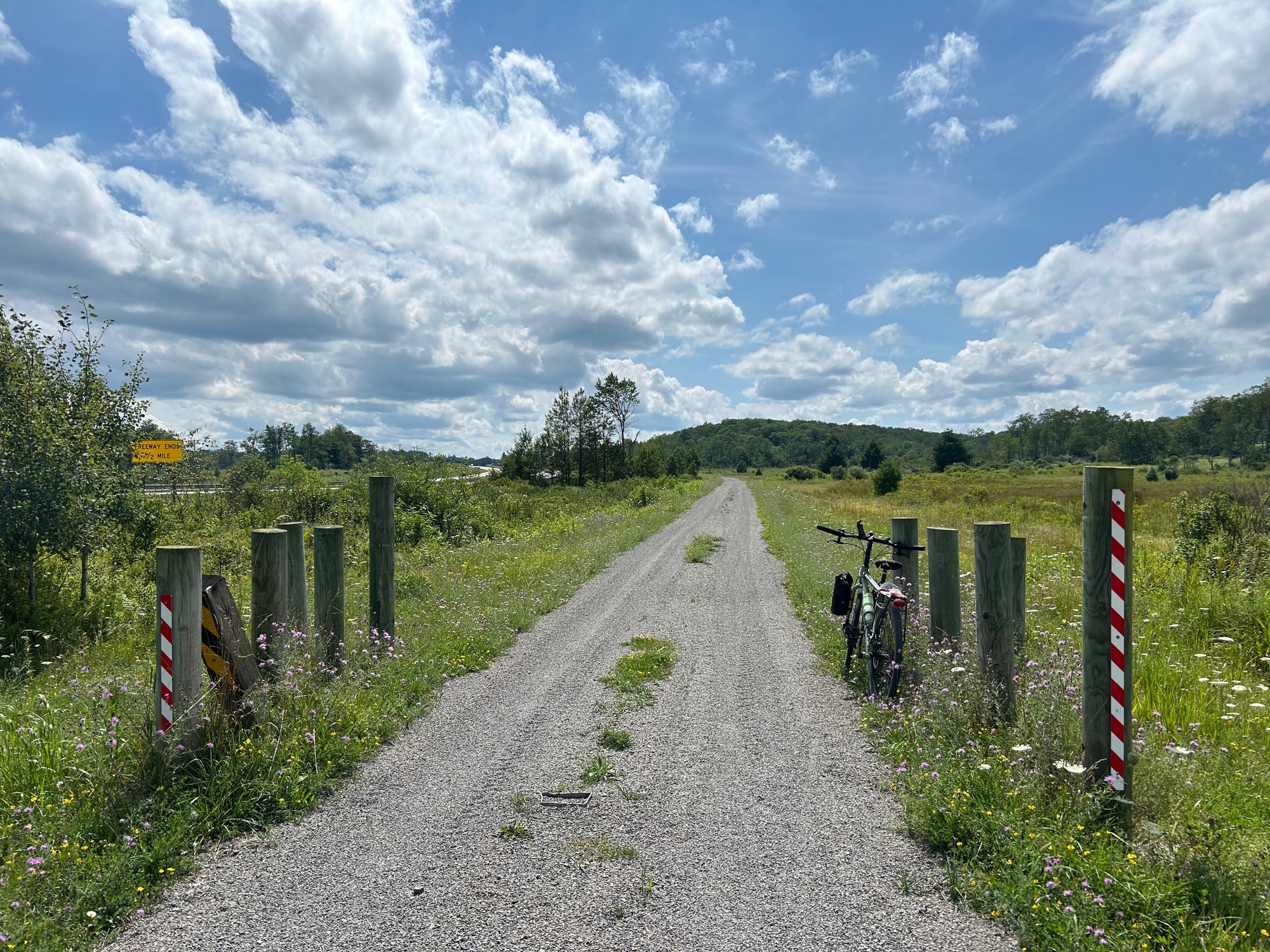
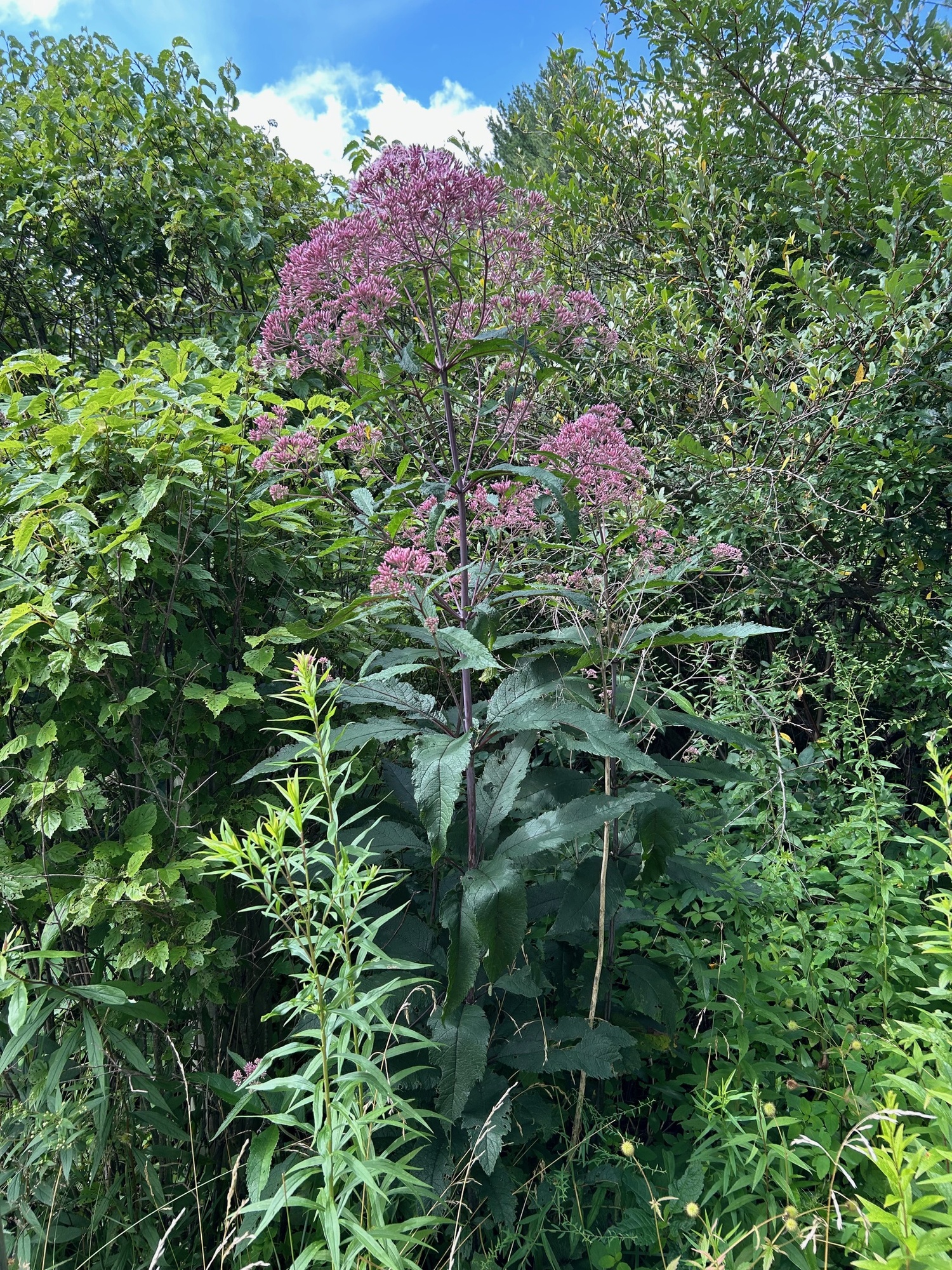
I passed two cyclists who were at an intersection off to my right. We waved but I continued onward, anxious to finish my ride for the day. A short distance further, I noticed a gravel trail running parallel to US-48. While it looked inviting, I was enjoying the smooth road surface too much to leave. Eventually, the call of the trail was too great and I did get over to it for the last few miles into the outskirts of Davis. The gravel was much finer and smoother than that of the Blackwater Canyon Trail. Those few miles on the Allegheny Highlands Trail (AHT) were very nice. It was far enough away from the highway to be quieter and more peaceful. The Summer wildflowers were in bloom and I seemed to have the trail to myself. When I reached the trailhead, only one vehicle was parked. Likely, it belonged to the two cyclists I had seen earlier.
| Heart | 0 | Comment | 0 | Link |
| Heart | 0 | Comment | 0 | Link |
At the trailhead, the AHT stopped and one was required to get back onto US-48. About a mile from Davis, the road was no longer a divided highway. It narrowed down to one lane in each direction and suddenly seemed to have more traffic. It was a Summer Saturday afternoon, after all. Being a popular recreation area , a lot of people come here for various amenities and opportunities, especially on the weekend.
In Davis, US-48 met SR-32 and I turned right to head back to Thomas. There was some traffic but as has been the case here in the Mountain State, everyone gave me plenty of room. I made it back to Thomas, unscathed and happy to have completed this big loop. It was another great day on a bicycle in Wild and Wonderful West Virginia!
Today's ride: 44 miles (71 km)
Total: 1,238 miles (1,992 km)
| Rate this entry's writing | Heart | 2 |
| Comment on this entry | Comment | 0 |