July 28, 2025 to August 1, 2025
Tucker County
Segments and Statistics:
July 28, 2025-Thomas to Parsons Loop-32 miles.
July 30, 2025-Blackwater Falls-14 miles.
August 1, 2025-Thomas Trails-5 miles.
Description of Events:
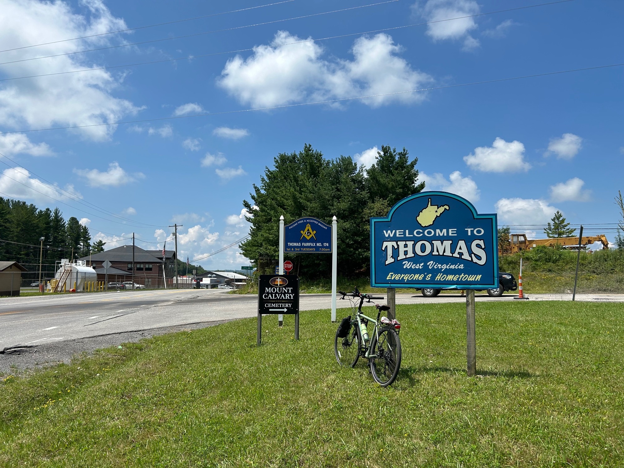
7/28/25-Oblong loop in Tucker County, West Virginia; 32 miles.
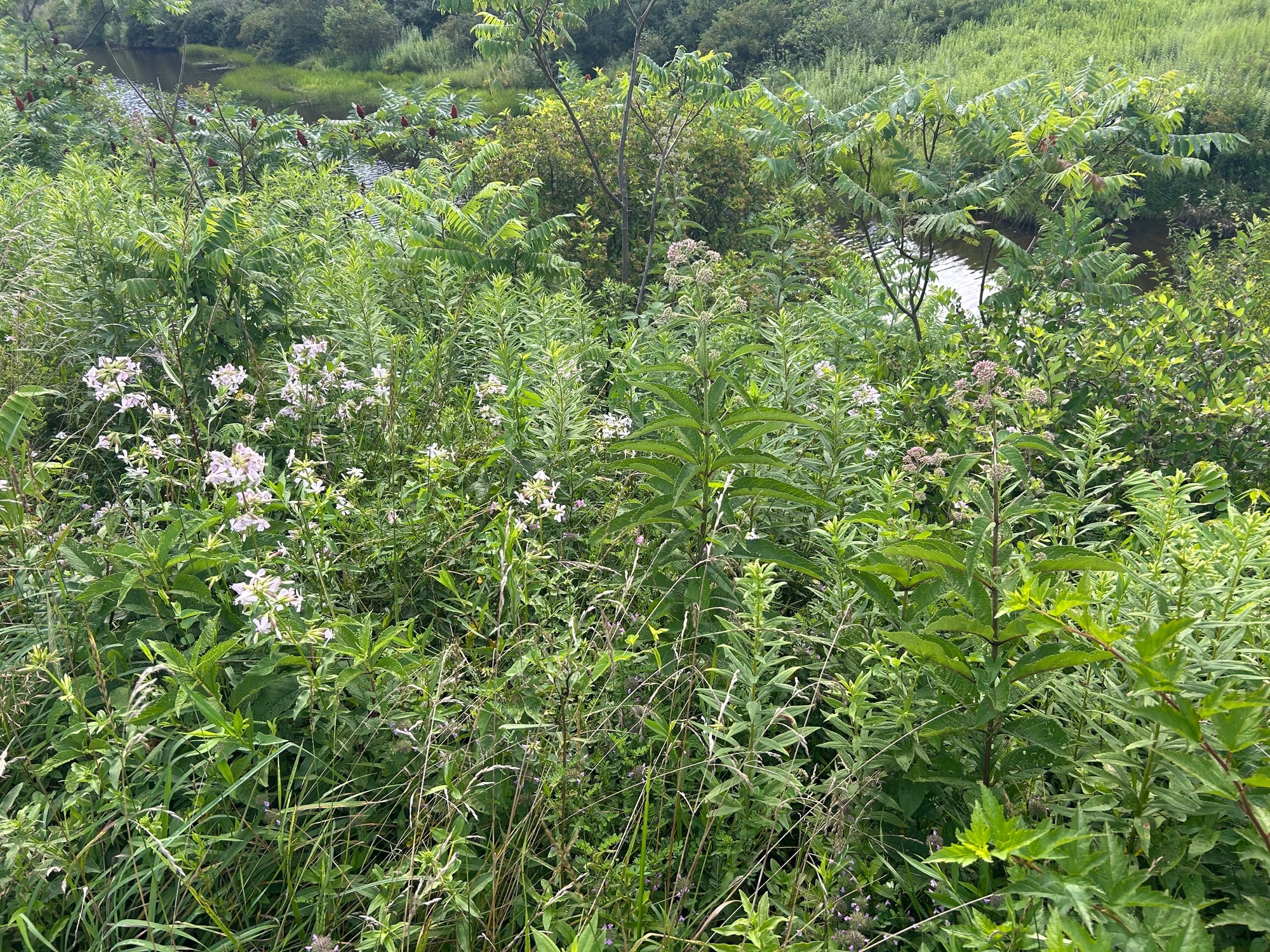
On the warm and humid Monday afternoon, Annemarie-T and I rode the Blackwater Canyon Trail approximately 14 miles from Thomas to Parsons. Although the trajectory was decidedly downward, we got good workouts keeping our balances while rolling over rocks, roots, and logs. We weaved our way through narrow single track path that was significantly encroached upon by extensive woodland growth, the product of a very warm and wet Summer season we have been experiencing. Any portions of the trail that were "clear" ended up being composed of very rough gravel with some big stones strewn about. While trying to avoid the various obstacles and stay upright, I had a good sweat going when we reached Parsons.
| Heart | 1 | Comment | 0 | Link |
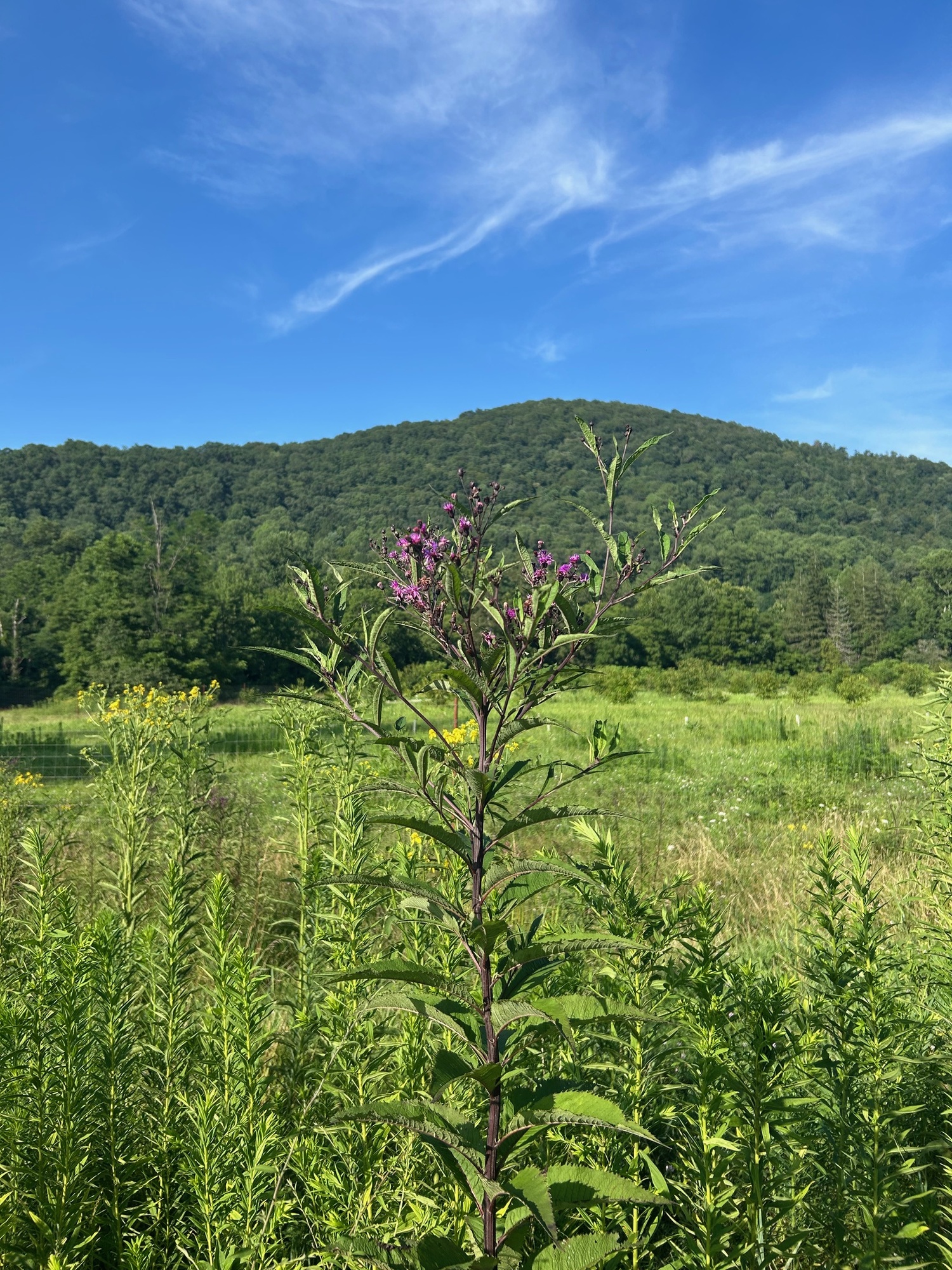
Upon arriving in Parsons, the trail became much smoother, even being paved at times. We rode over to an area where Chestnut Trees have been planted with hopes of restoring them to the area. As you may remember from history, a blight wiped out the Chestnuts which were once plentiful in this part of the country. Of course, I was a bit distracted by the emergence of one of my favorite wildflowers, the Ironweed. The first one in bloom this year was spotted and photographed.
| Heart | 0 | Comment | 0 | Link |
After checking in for the Bluegrass Festival, Pickin' in Parsons, I decided to ride back to Thomas via roads instead of the trail. Little did I realize what kind of adventure awaited me. Annemarie's husband had driven to Parsons, so she had a ride back to Thomas.
My "adventure" began as a reasonable climb out of Parsons on SR-72. A huge highway construction project, to extend US-48, was visible off to my right. The highway will proceed from there via a very long and high bridge across an extensive and deep valley. It's going to be quite an impressive structure and a beautiful ride when finished.
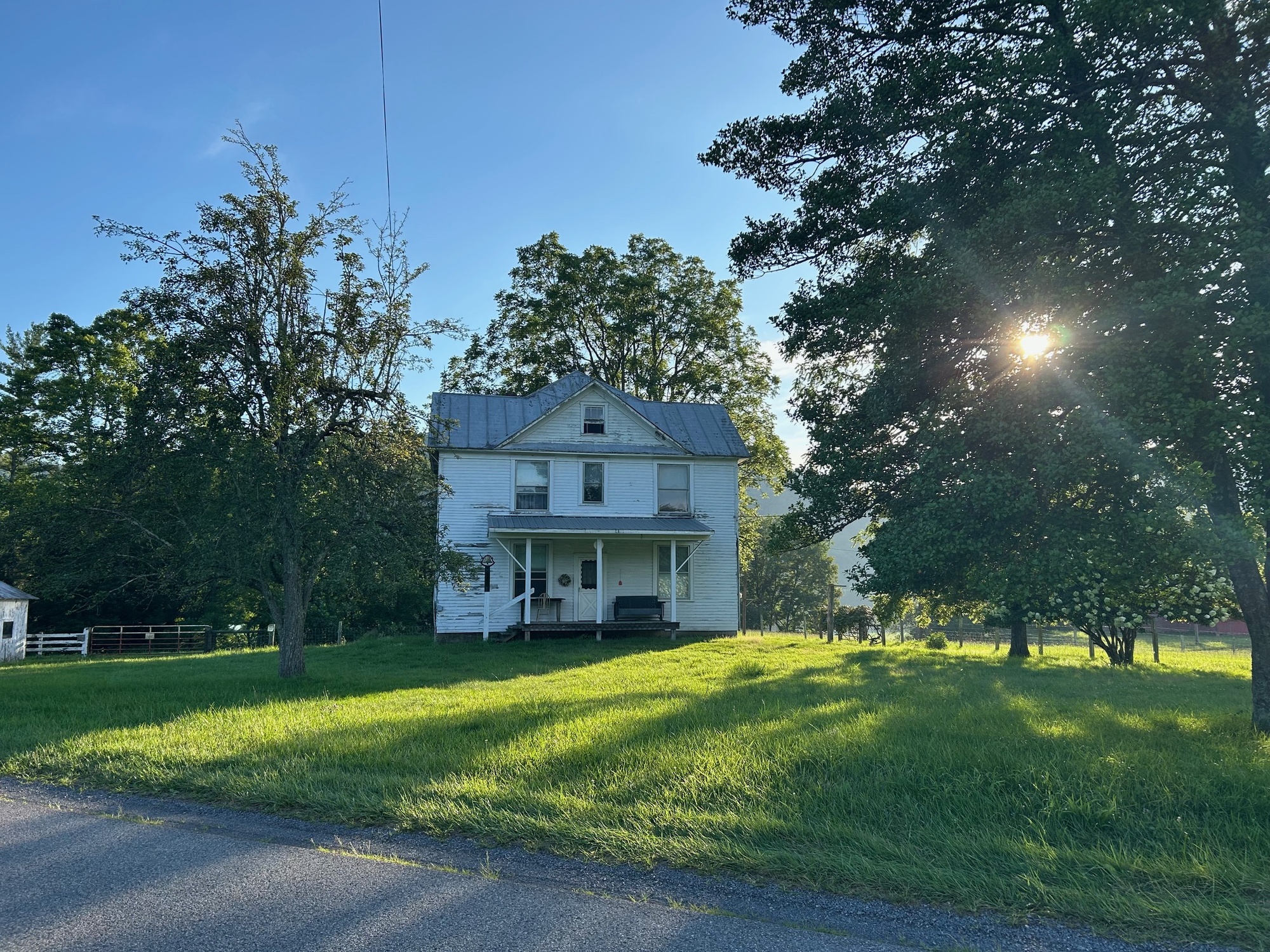
Shortly thereafter, SR-72 began to descend to a right turn onto Holly Meadows Road (HMR). Once there, what little traffic I had been riding with dropped down to nothing. HMR is a very pleasant paved road that winds past widely spaced homes and farms. Because it was so peaceful and the terrain was gentle, I was really enjoying myself and happy with the decision to take the roads instead of the trail.
Since I could see hills ahead, I knew some climbing awaited me. About 6 miles into this portion of the ride, HMR began a climb of nearly 1 mile in length. It was tough but reasonable. On the descent I thought to myself that the climb was not too difficult and that taking the roads wasn't so bad a decision after all. There was plenty of daylight left and a little over 10 miles to reach Thomas... no problem (famous last words).
HMR continued gently along until it met a T-intersection. There HMR went left but my route called for a right onto Sugar Lands Road (SLR). One might think that with a name like Sugar Lands, this sweet road would be kind to a passing cyclist. While she was beautiful, the climbing commenced in earnest within a half mile of having made the turn. The climbing went on, and on, and on. With no idea when it would end, I had to continue moving forward, ever so slowly. At this late hour, turning back and returning to Thomas via the trail would not be possible unless I wanted to be in the deep woods, with all sorts of biting insects, after dark (which I did not).
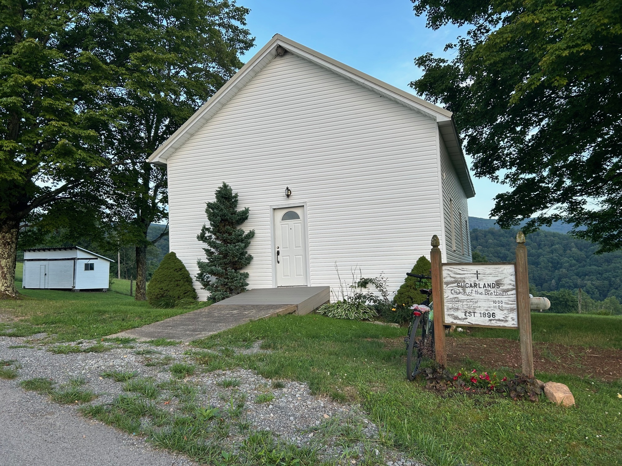
For 5.5 miles, Sugar Lands Road (SLR) went up, and up, and up! As I rounded each curve, I could see that more climbing was ahead. The trees created a dark canopy over the road, making it seem like the sun had set, when it had not yet done so. At one point, I could see more light ahead, indicating a cleared area. When I got there, I took a short break on the grounds of an old hillside church called Sugar Lands Church of the Brethren. My heart was beating hard and fast at that point. I stopped for a few minutes to let it calm back down. I said a few prayers too, asking for assistance in making it home safely on these mountain roads after dark.
| Heart | 0 | Comment | 0 | Link |
After the ride, someone asked me what was the grade percentage of the climb? I didn't know for sure but gave a range of 7-12%. Running my cursor over the course laid out on Strava, after the ride, I got readings as high as 26.5% ! No wonder my heart was working so hard.
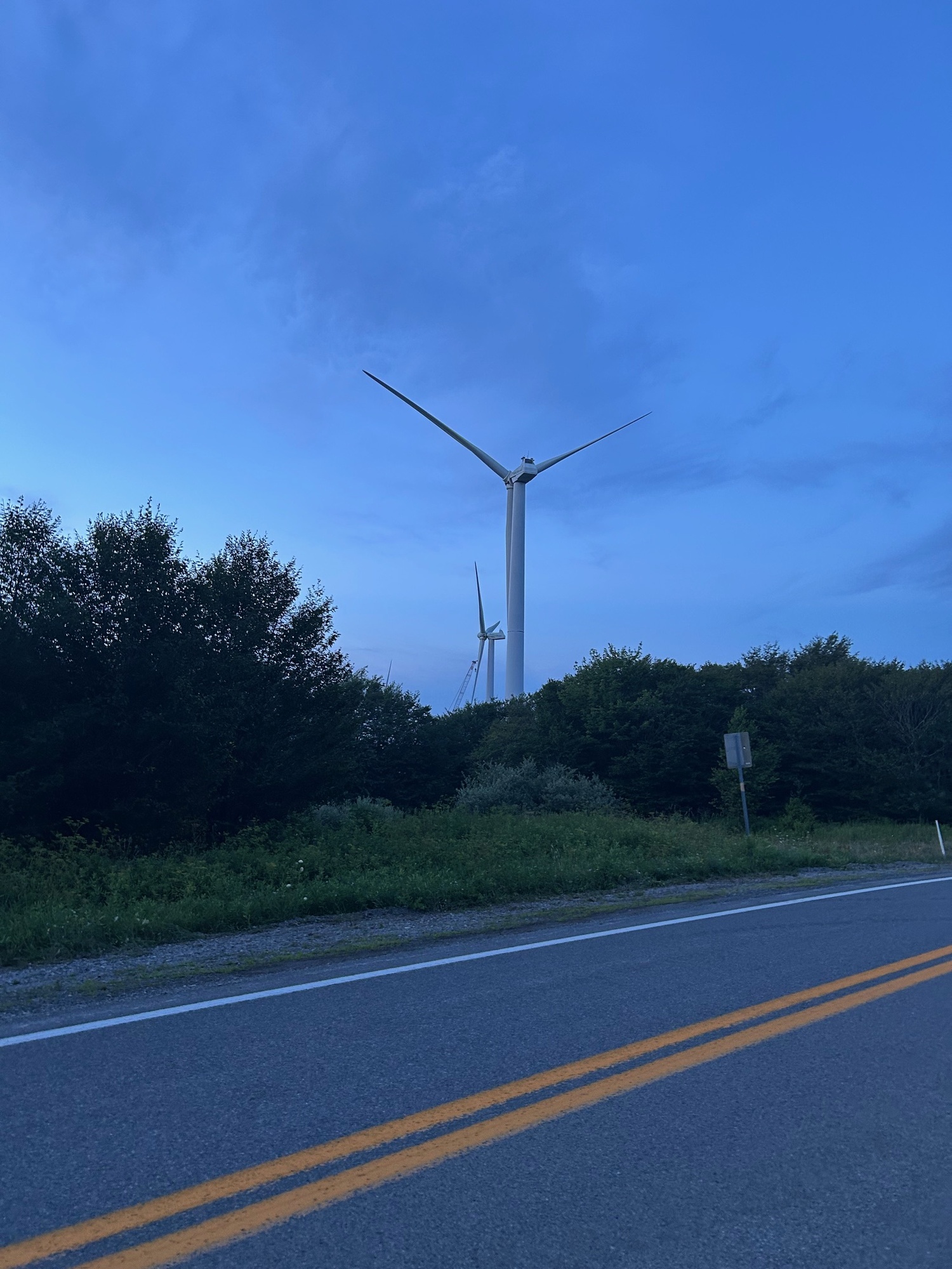
Upon leaving the church grounds, SLR continued to climb for another mile and a half, or so, to where it met US-48 at the summit. I was finally on top of the Backbone Mountain Ridge, alone with the giant windmills that were quietly going about their business.
Strava claims that I have the 9th all-time fastest climb of that segment (as of July 28, 2025). Apparently, if an old guy like me is ranked 9th, there are not very many people riding bikes in the area. But I'll take it.
| Heart | 0 | Comment | 0 | Link |
The sun was set at this point but since the sky was clear, there was still some daylight. With a little over 5 miles to go, I wasted no time getting to Thomas. I'm always amazed that when climbing a mountain, there are usually no downhills to give a cyclist a break. But many times, when descending, there are upslopes with which to contend. Such was the case on this descent but for most of them, I had enough momentum to reduce the effort needed to climb them. As darkness began to envelope me, I rolled across the bridge and into Thomas. Fortunately, only an handful of vehicles passed me on the way down from the summit. All gave me wide berths. Another successful ride was safely completed with another story to tell... thanks to the Good Lord and the courteous drivers in the area!
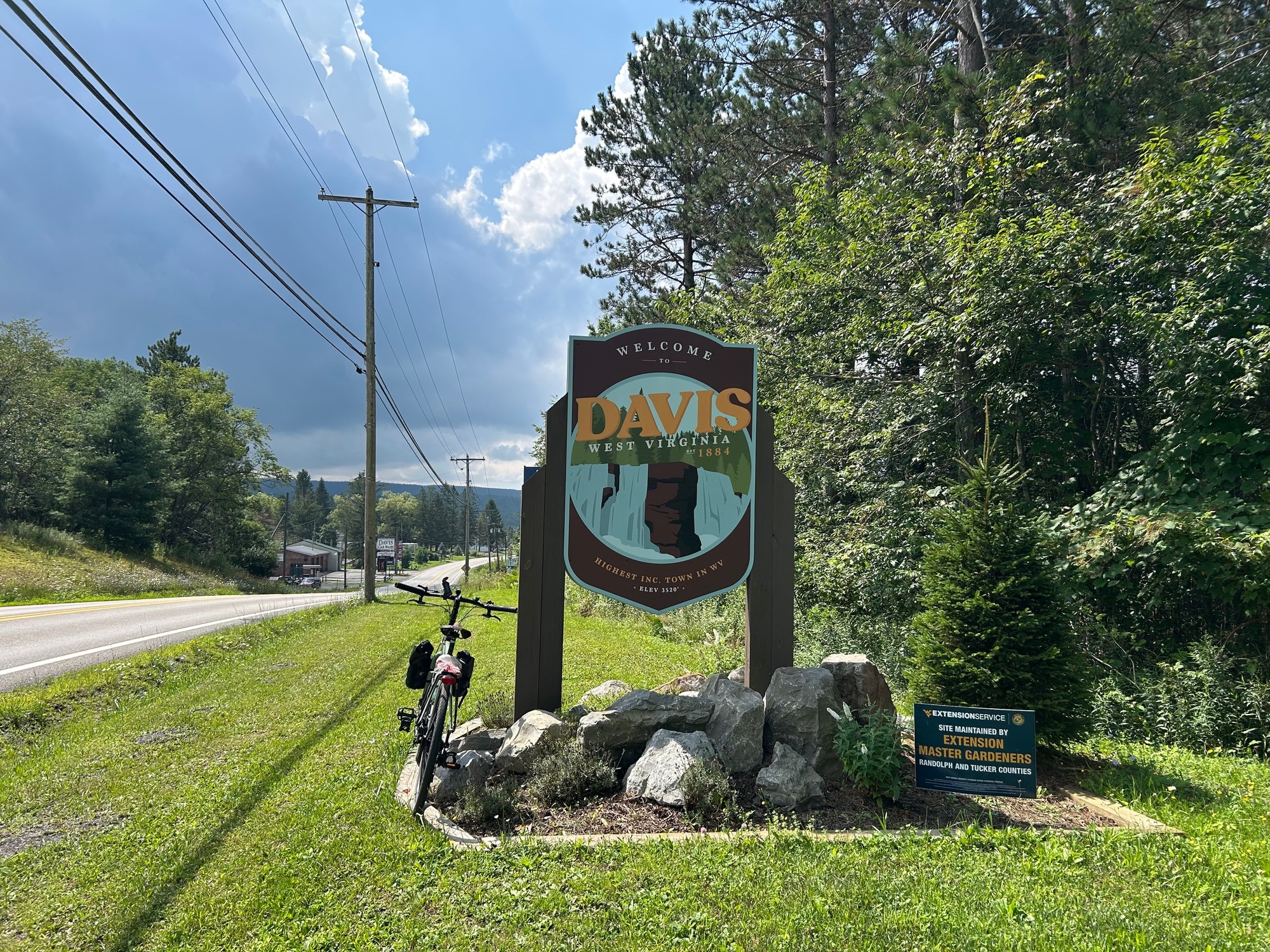
7/30/25-Out-and-back, Thomas to Davis and Blackwater Falls State Park; 14 miles.
I took the day off after the big climb (7/29/25), sitting and listening to Bluegrass music at the festival in Parsons. By the morning of 7/30/25, I was again ready to do some exploring. So, I set out from Thomas, West Virginia and headed toward Davis and Blackwater Falls.
| Heart | 0 | Comment | 0 | Link |
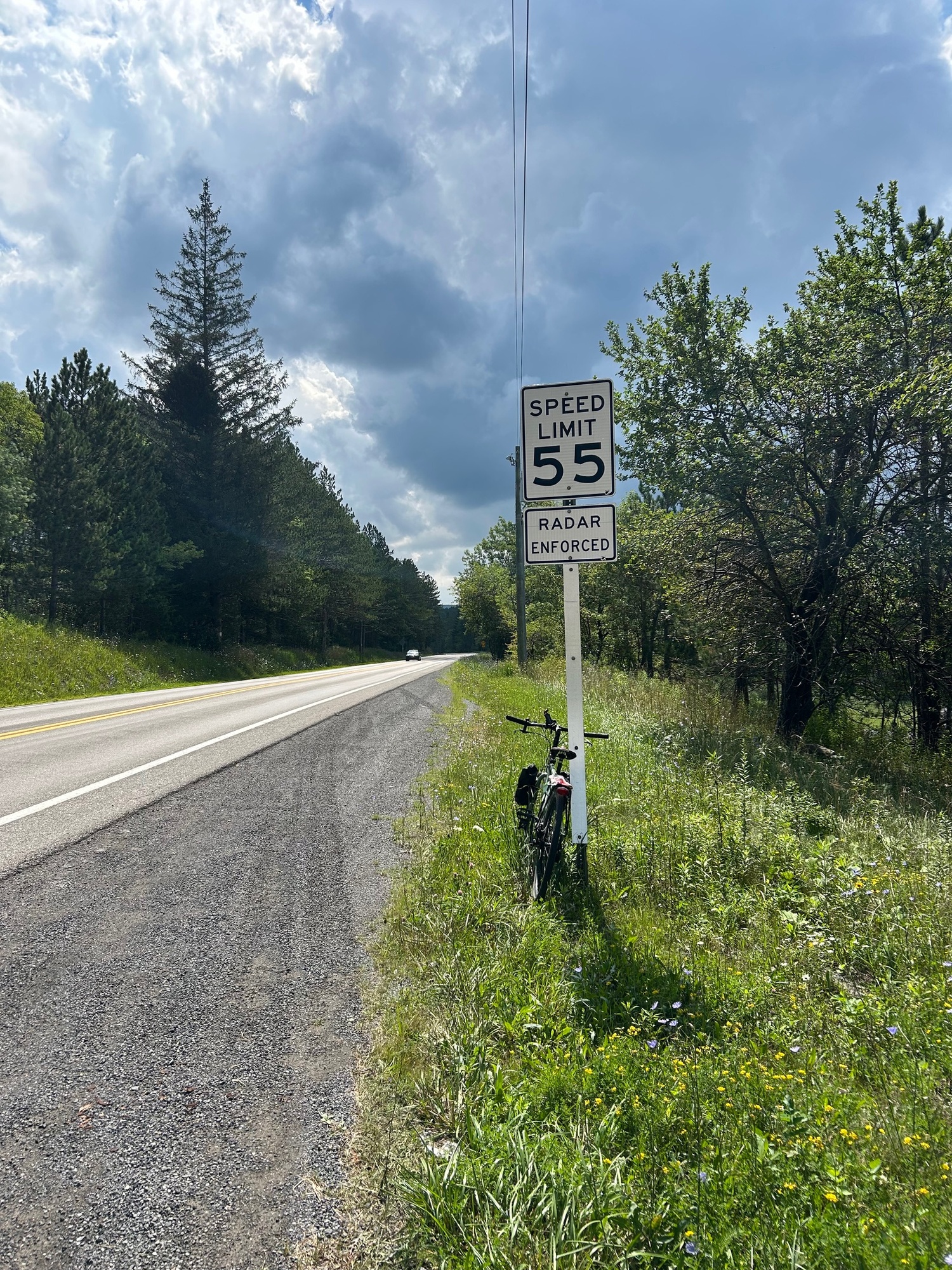
After having passed through the business district of Thomas, US-48 climbs out of town to a point where it goes off to the left and SR-32 runs straight toward Davis. The photo above shows the character of the state road. The shoulder is narrow but the gravel can be ridden on, if necessary, because it is packed and of a finer grade than most other such material found on the shoulders in the Mountaineer State.
On this mid-Wednesday morning, traffic was not a problem. Although moving fast, motorists passed when safe and gave me plenty of room. Because this area is such an attraction for tourists, with skiing, boating, hiking, cycling, and general touring of several natural wonders, motorists are used to seeing cyclists. Some may even be cyclists themselves. I didn't encounter any problems on the road.
| Heart | 0 | Comment | 0 | Link |
| Heart | 0 | Comment | 0 | Link |
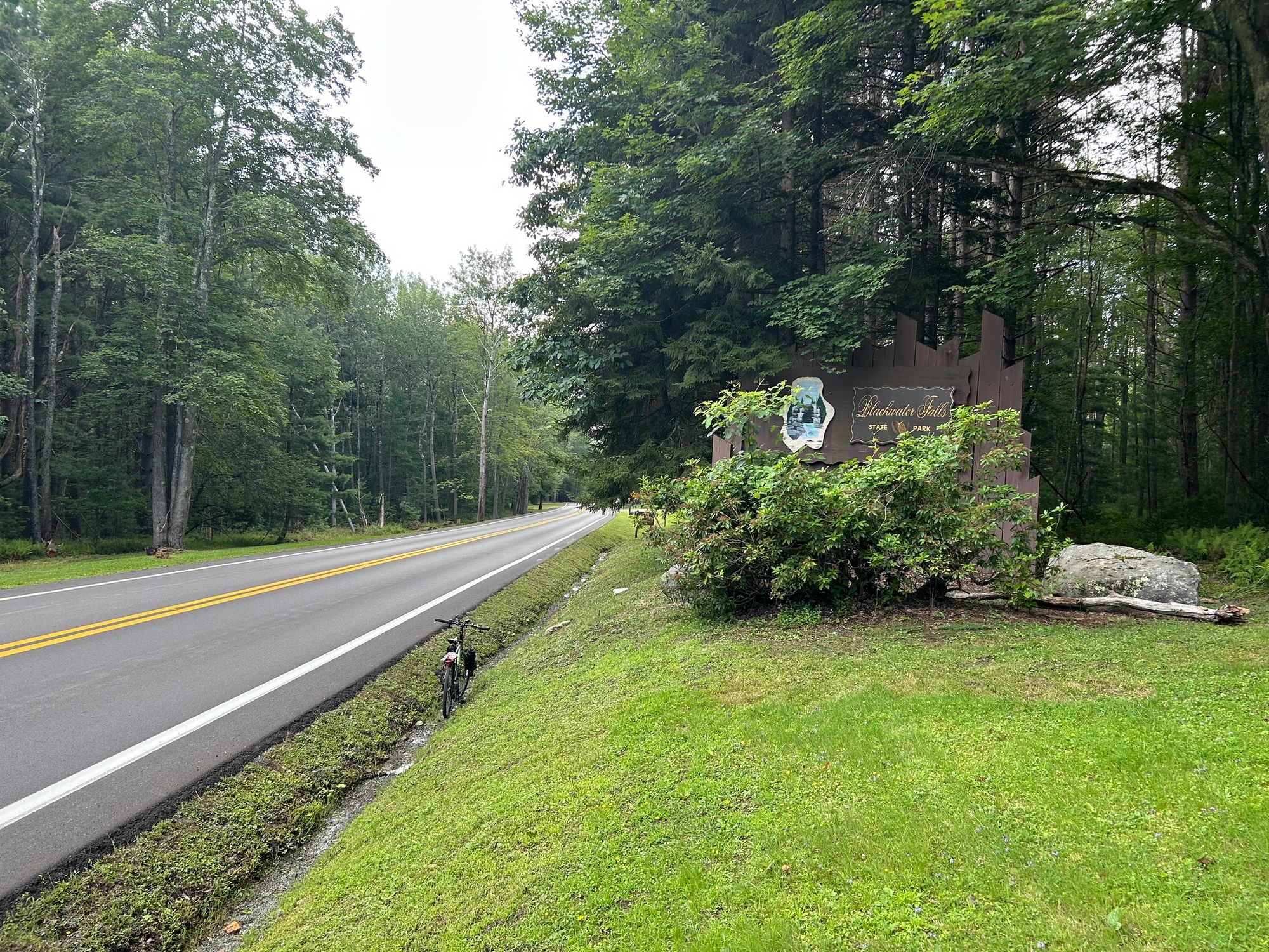
Shortly after reaching the town of Davis, SR-32 led to a right turn onto Blackwater Falls Road, which led into the state park of the same name. While approaching the first intersection, with Canaan Loop Road, a couple stopped on the side of the road flagged me down for directions. They were trying to find Elakala Falls. I wasn't too sure where it was located but my smart phone came to the rescue by providing directions. They thanked me and moved on but their inquiry provided me with another possible destination during this ride.
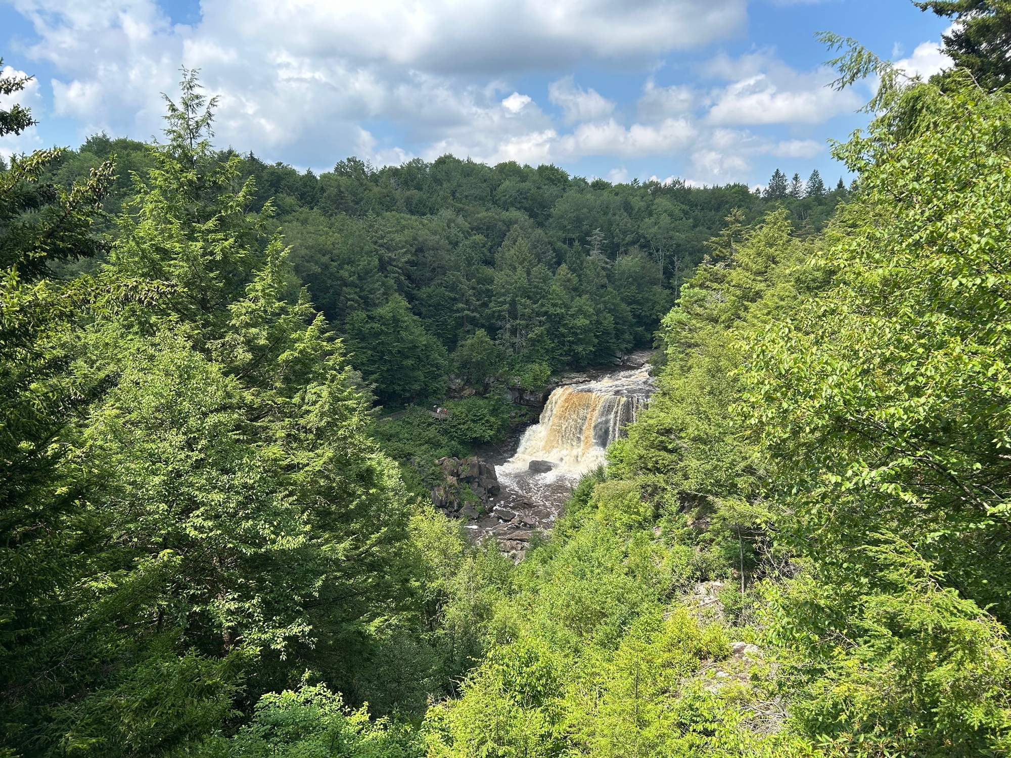
My first stop was Blackwater Falls. Although I had been there before, seeing it again was as wonderful as the first experience. The slightly yellow-brown stained waters of the Black Fork River cascade some 35 feet downward into a swirling pool below. The sound is significant but very peaceful.
There was a tour bus that had emptied its passenger manifest of high school aged teens prior to my arrival. Although they were running about the place, a few smiled at me and complimented my bicycle. It was more crowded than is usually the case but it was all good.
After having hiked down to where the falls can be viewed, I shouldered the bike and was bringing it back up the set of steep steps. A fellow about my age was coming down and complimented my ability to still be doing something that would be rather strenuous for someone in our age bracket. I suppose the ability to still be handling such feats is a measure of my rate of aging. It is getting more difficult but I can still handle it.
A wise person once said, "Good health is merely the slowest rate of death." That made me laugh but also puts the whole matter into perspective. I'm a Dr. Peter Attia follower. He believes that it's not only longevity but how healthy we are and whether we are able to do the things in our old age that make us happy. With all of that in mind, I'm going to be doing what it takes to continue with these cycling adventures.
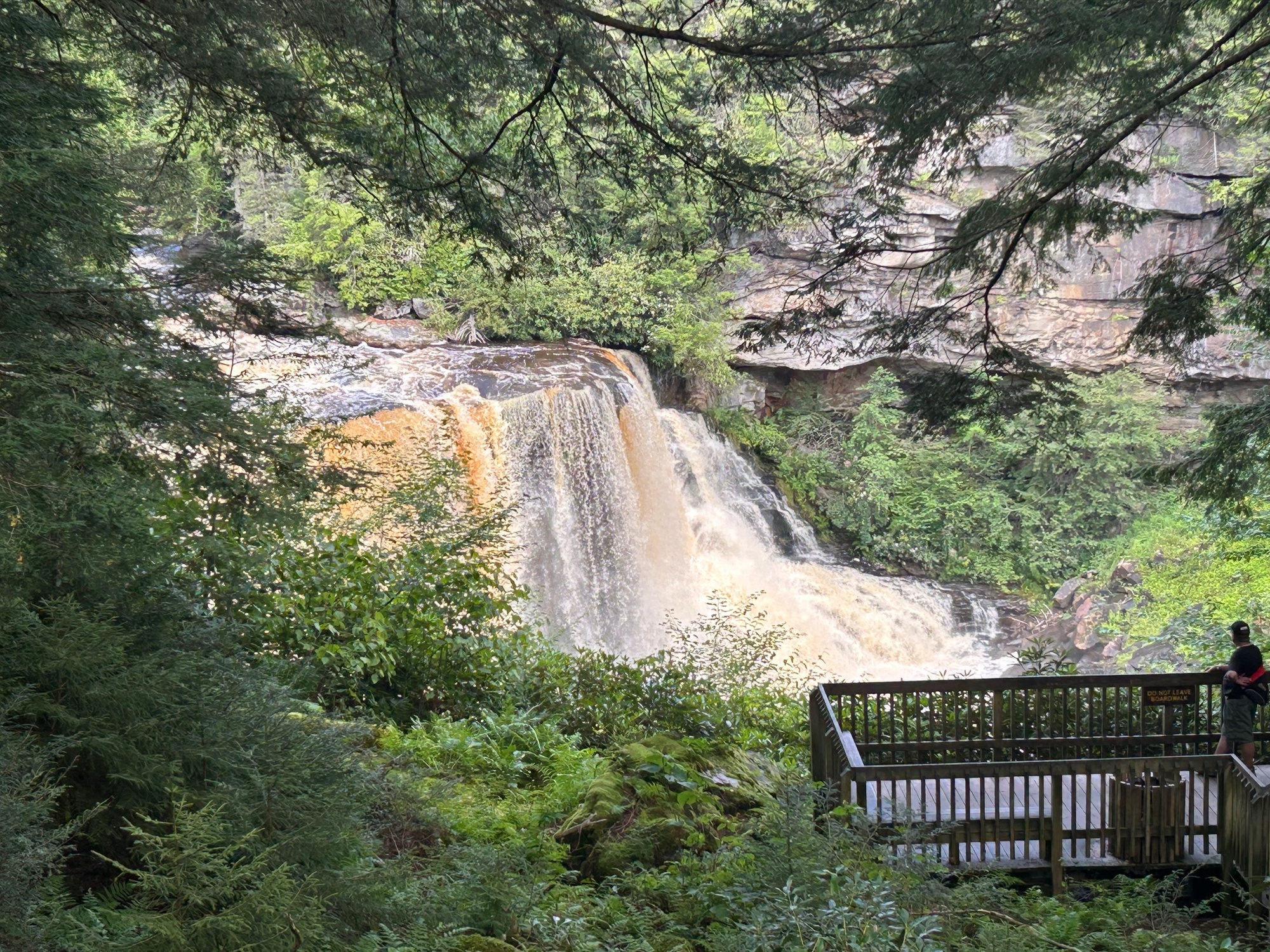
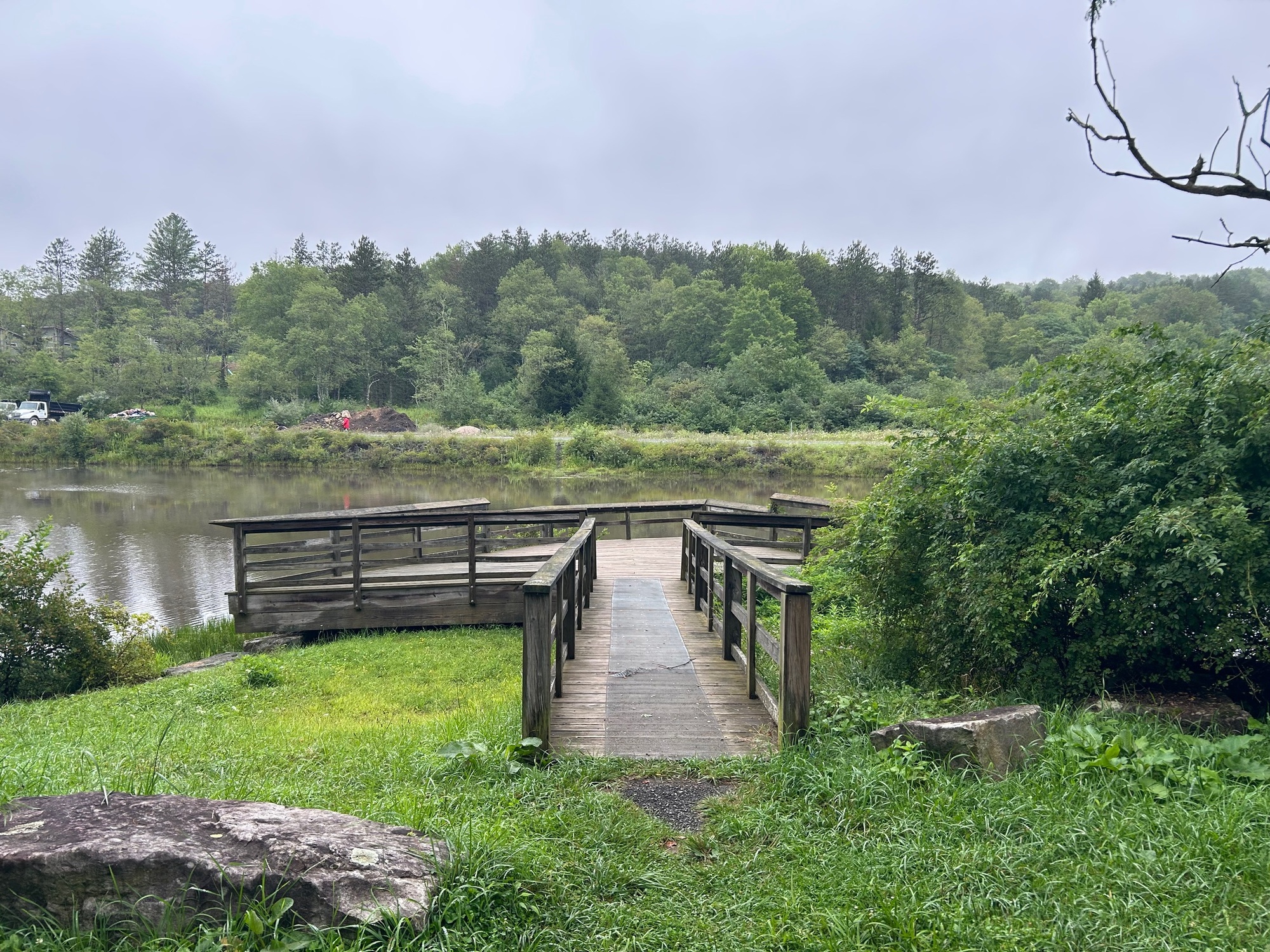
After having seen the falls from the main viewing area, I returned to the Blackwater Falls Picnic Area Road (BFPAR), which makes a big elongated loop back to the aforementioned main intersection in the park. Along the way, I came upon a viewing area for handicapped persons. It had a paved path and a boardwalk that led to a wooden deck. From the deck, which was on the opposite rim of the gorge, a tremendous view of the falls was available. The roar of the falls was nearly as great as on the opposite side. Because there were fewer tourists with which to contend, this was calm and a very neat place to view the falls.
| Heart | 0 | Comment | 0 | Link |
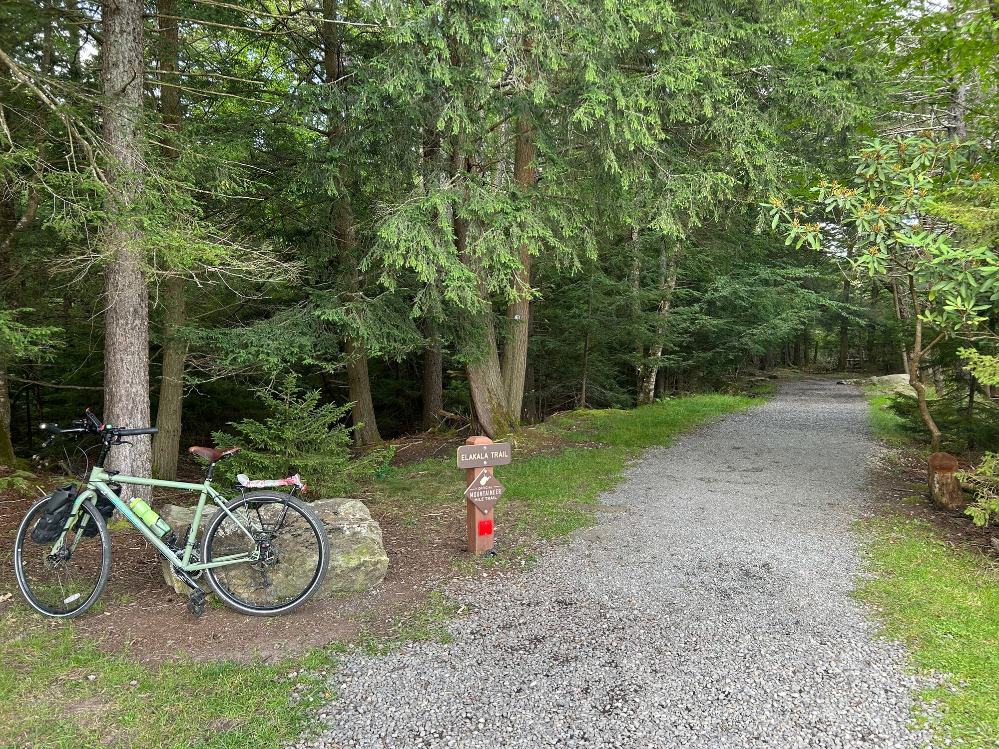
Continuing onward, BFPAR looped around and returned to the 4-way intersection with Blackwater Falls Road. Heading straight across, the road name changed to Canaan Loop Road (aka Park Road 0803, on Strava). The Lodge and Elakala Falls were in that direction, although there were no signs (that I saw) for the falls.
Upon arriving to the Lodge, I went inside to inquire as to the whereabouts of Elakala Falls. The front desk person indicated that the trailhead could be found at the far end of the parking lot. After some cold liquid refreshment on the increasingly warming day, I headed there and easily found the trailhead.
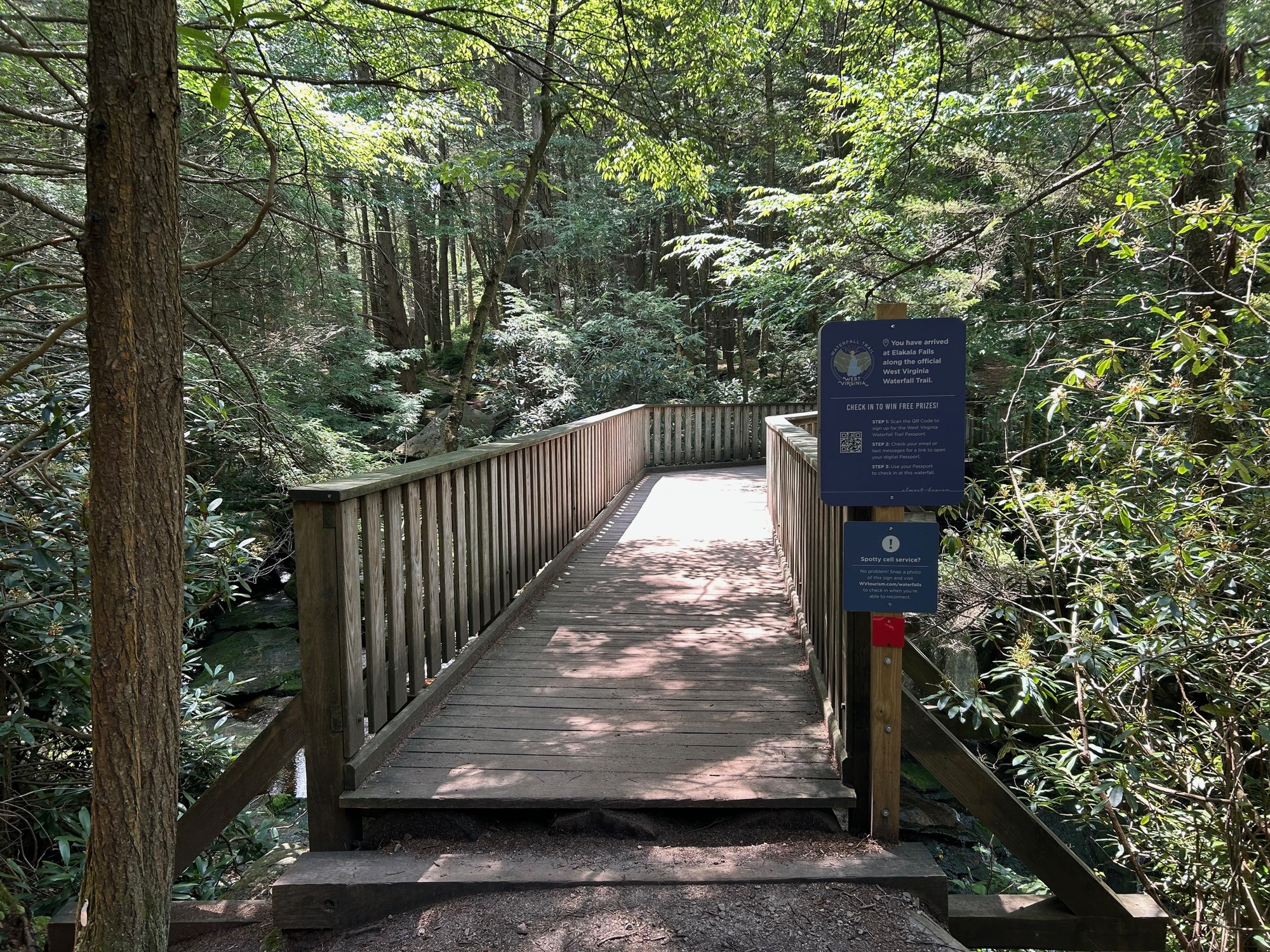
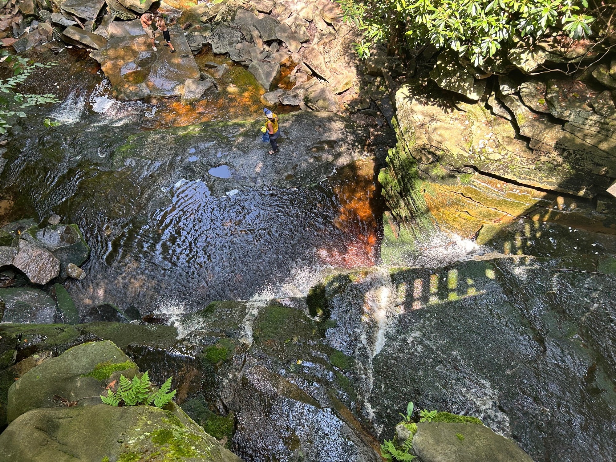
Elakala Falls is actually a series of 4 waterfalls on the Black Fork River. These are within the state park. They separate and distinct from the main Blackwater Falls, for which the park is named. There is a wooden bridge over the first falls, making it quite accessible for most people. The pathway down to it can be steep, rough, and full of tree roots. I walked my bike down to a point before the bridge and then leaned it up against a tree while I went onto the bridge for a view.
| Heart | 0 | Comment | 0 | Link |
| Heart | 0 | Comment | 0 | Link |
The 3 remaining members of the Elakala Falls chain become increasingly inaccessible to all but the most fit and adventurous hikers. I did not attempt to hike any further on this day. But I would like to come back and see the other three falls on another trip to the area.
As I was ready to begin my hike to the first falls, I saw the same couple that had stopped me for directions. They were very happy to have found it. The man gave me a fist bump in appreciation. Perhaps I should get on staff as a guide.
After my little tour, I headed back toward that 4-way intersection and took a left back out of the park and toward SR-32. Once there, a left was needed to get back to Thomas. On the way, I stopped at a very rough looking garage and store with all sorts of collectibles out front. A sign indicated that live glass-blowing demonstrations might be available. I went inside and struck up a conversation with the two fellows who were running the place. They were quite conversant, perhaps from not having had anyone with whom to talk for a while. The "boss" who was also the "glass-blower" knew quite a bit about the area and has had a few interesting life experiences with resultant stories to tell. I enjoyed talking to those guys but forgot to get a photo of those two, who were definitely quintessential West Virginians.
SR-32 led me back to my lodging in Thomas. There, I met my friends, got cleaned up, and headed into Parsons for another day of Bluegrass music. It can be a tough life, at times, when all you have to do is ride your bike and then go listen to music. Somebody has to do it!
| Heart | 0 | Comment | 0 | Link |
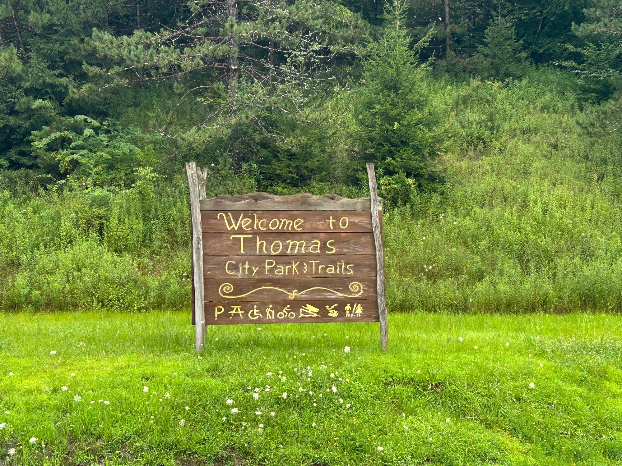
8/1/25-Rain and short ride in and around Thomas that turned into a mushroom foraging (photos only) expedition; 5 miles.
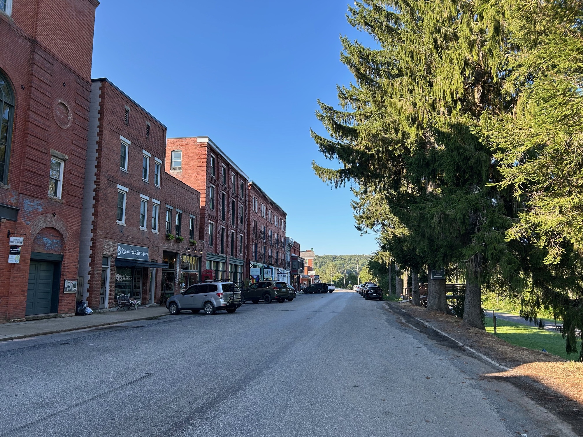
Thomas, West Virginia is a cool little town. Its web page states the following:
"Thomas boasts a long history of rugged entrepreneurs amidst a storied landscape. Hoisted high in the Allegheny mountains, nestled within the Monongahela Forest, Thomas is a quintessential small town in the heart of West Virginia."
After having spent some time there recently, I am inclined to agree with this assessment.
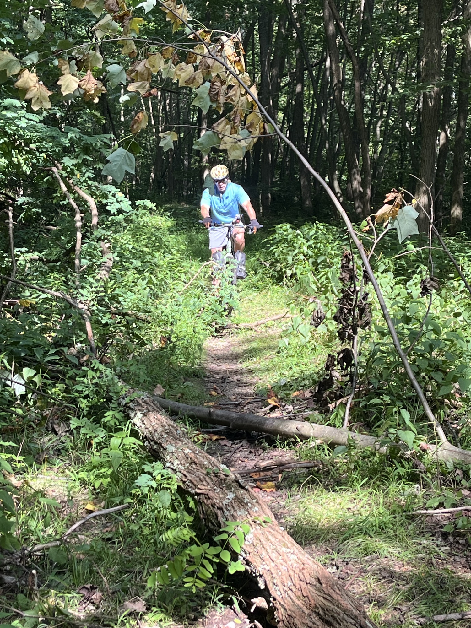
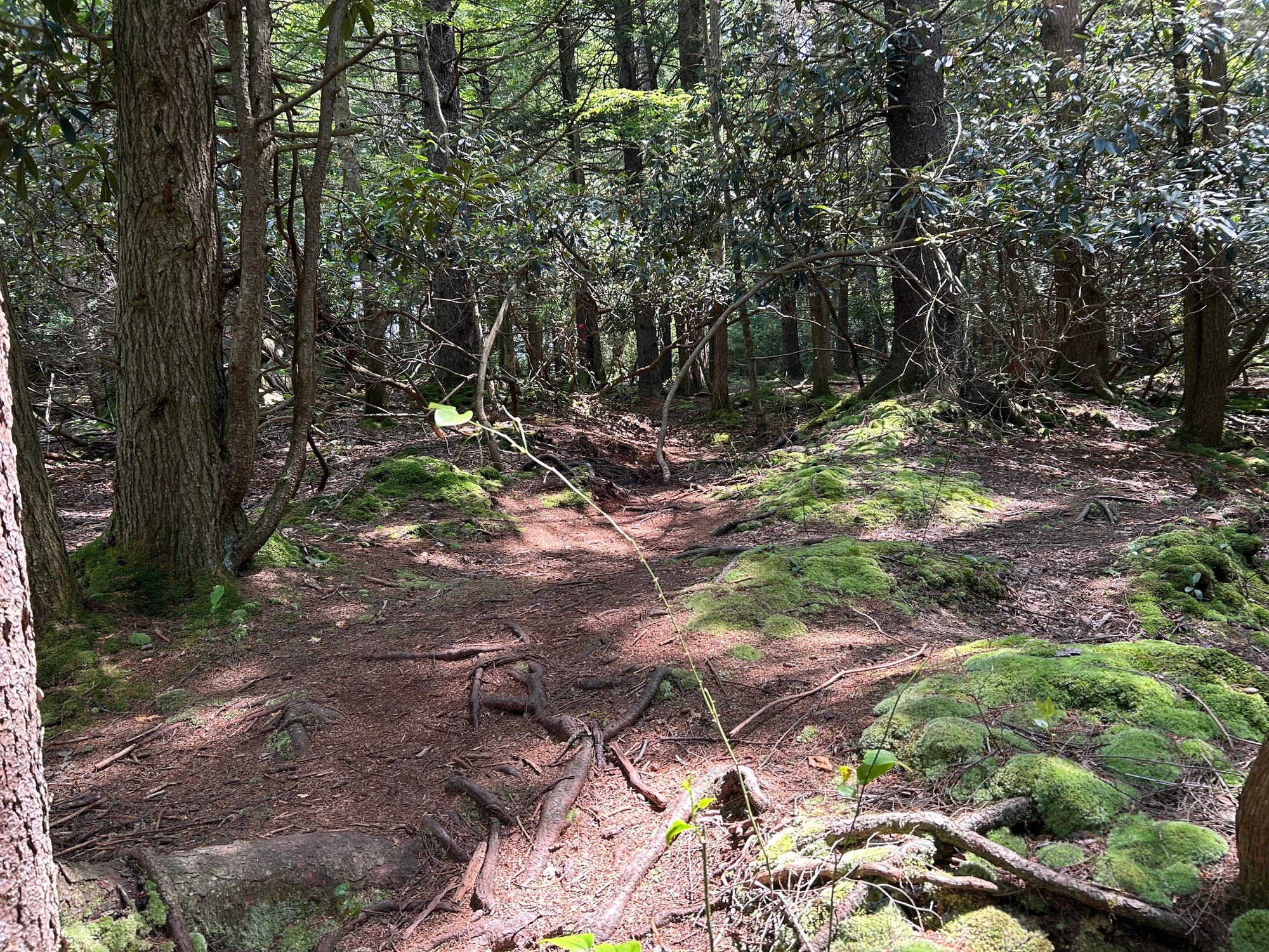
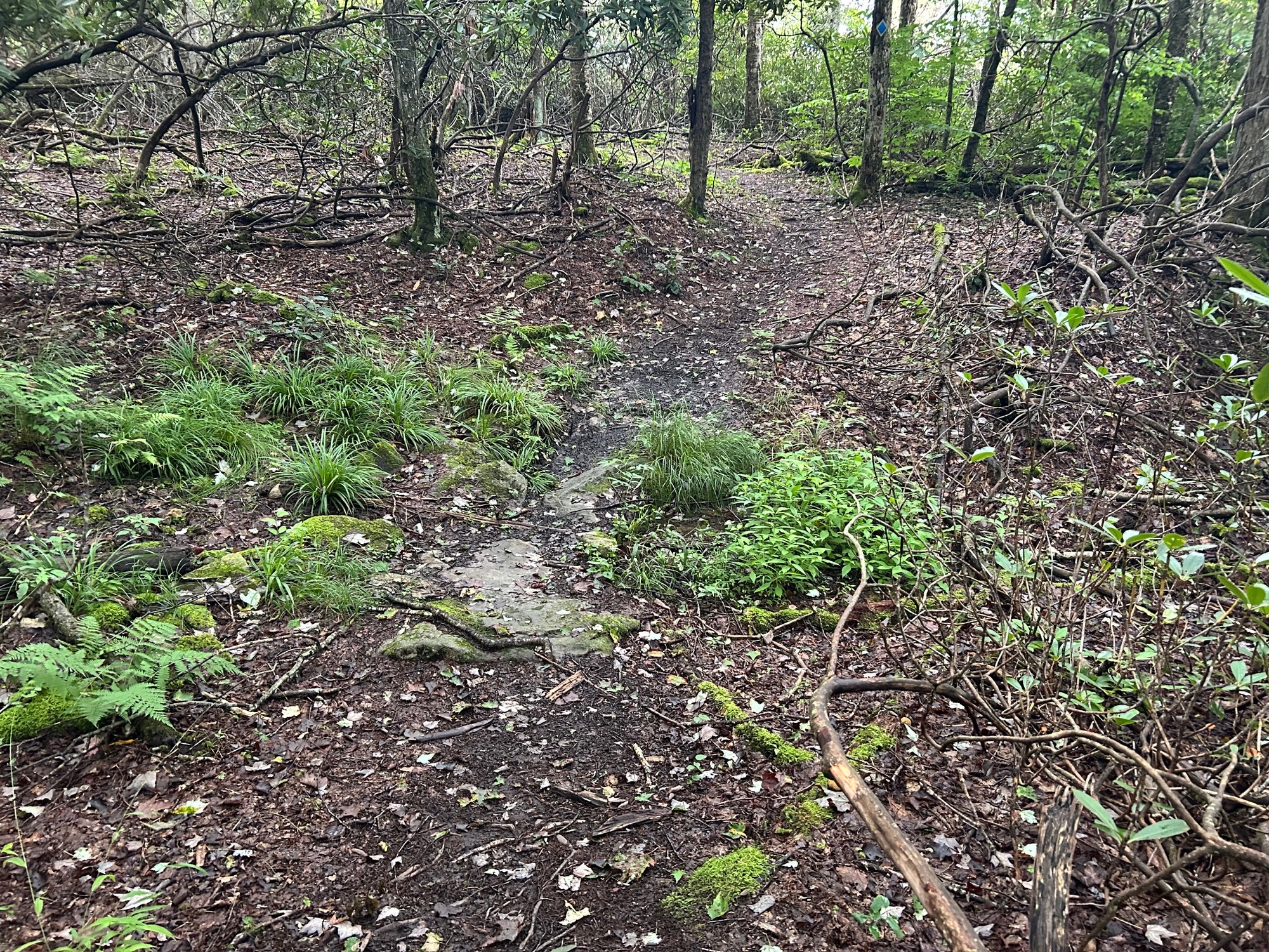
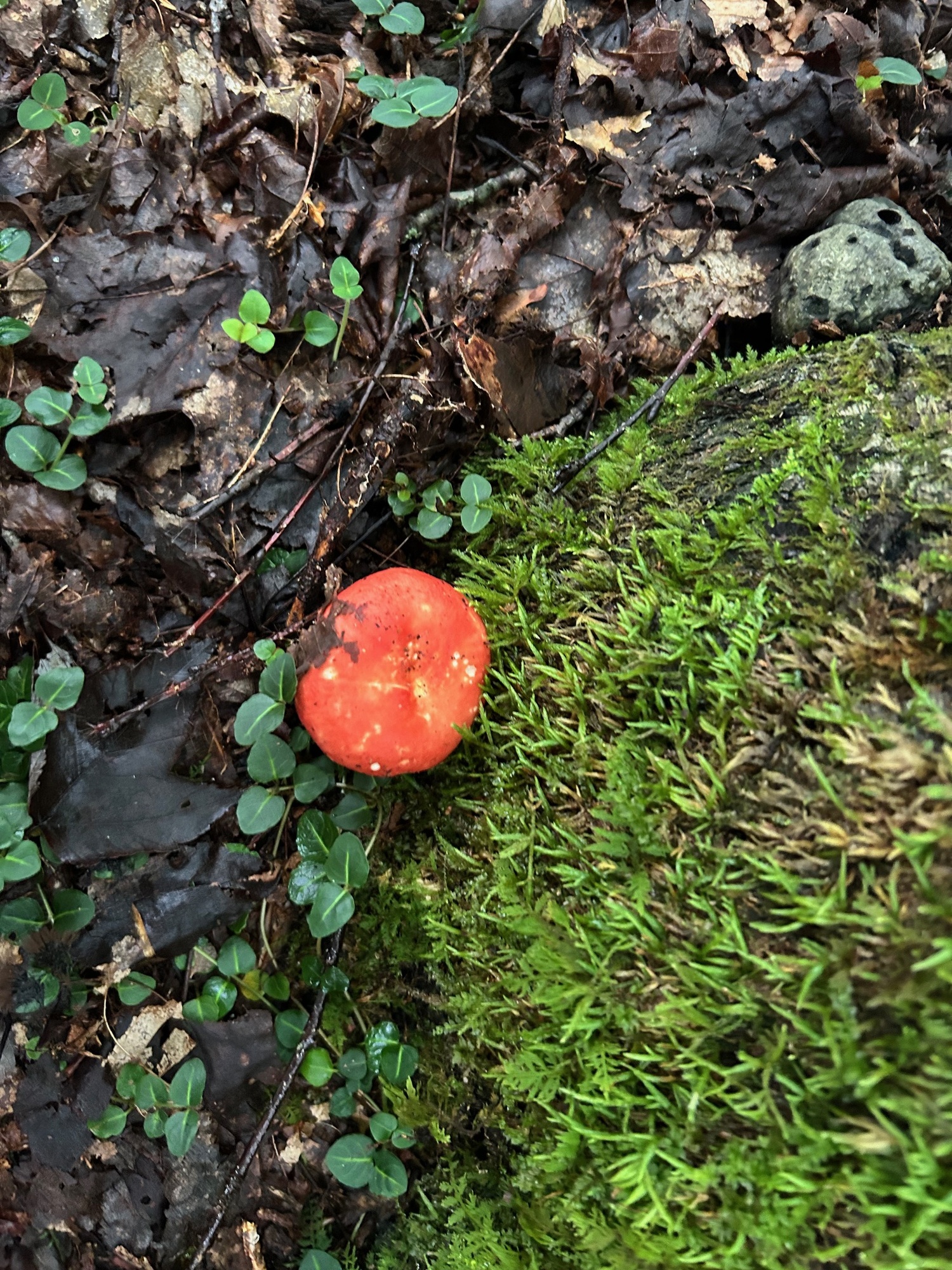
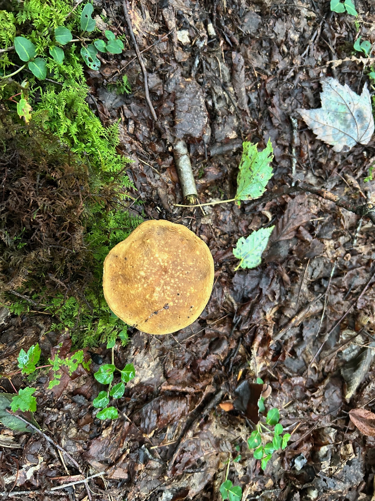
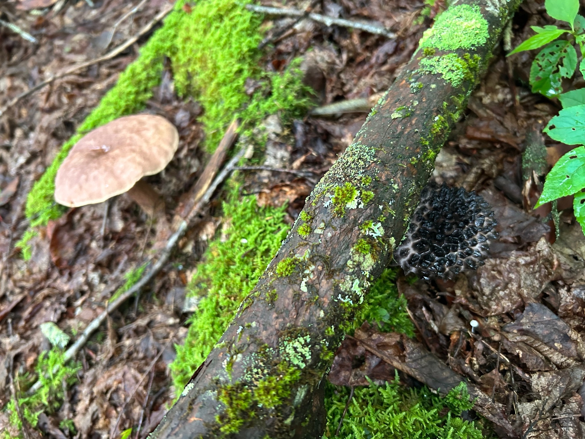
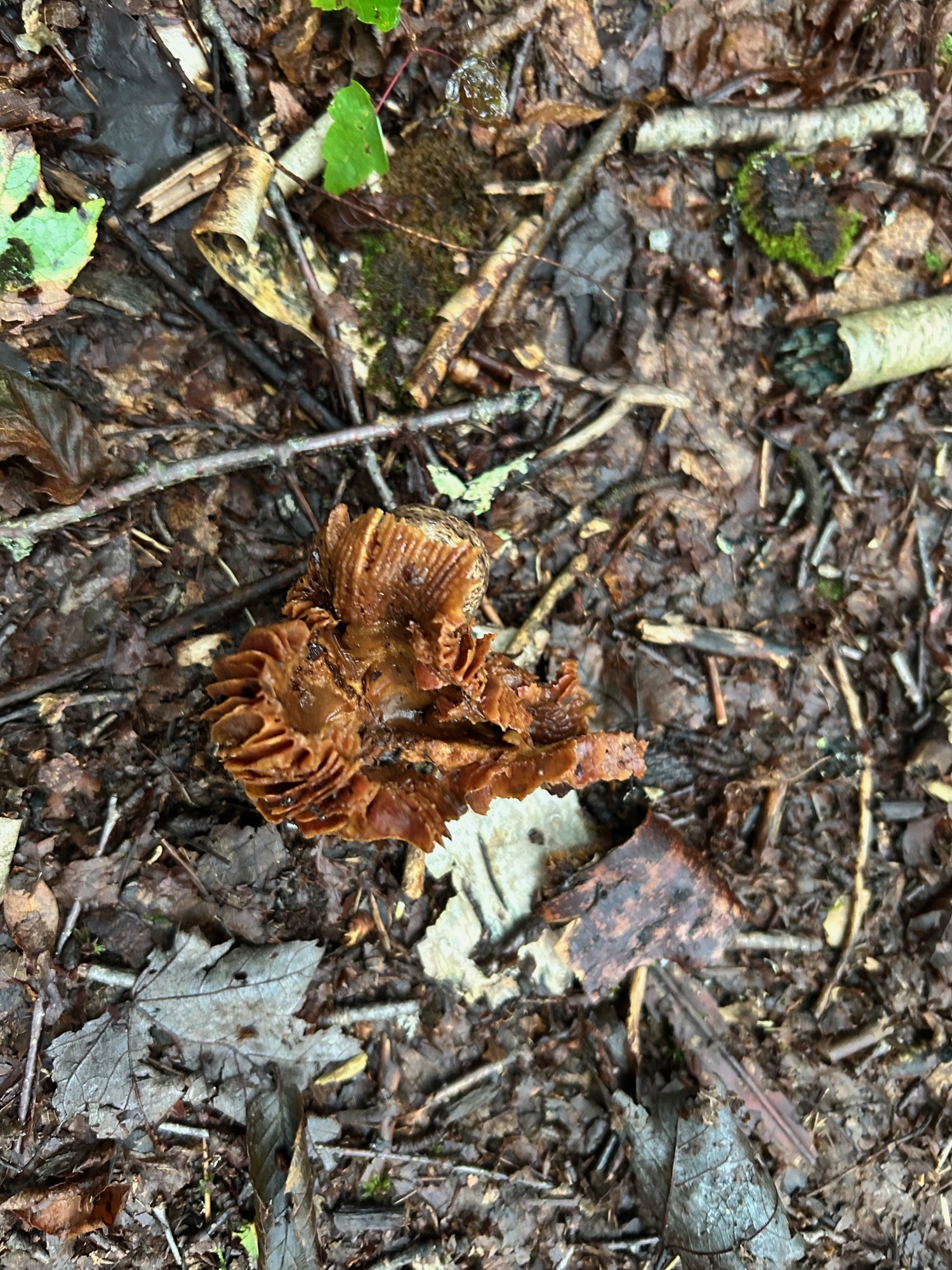
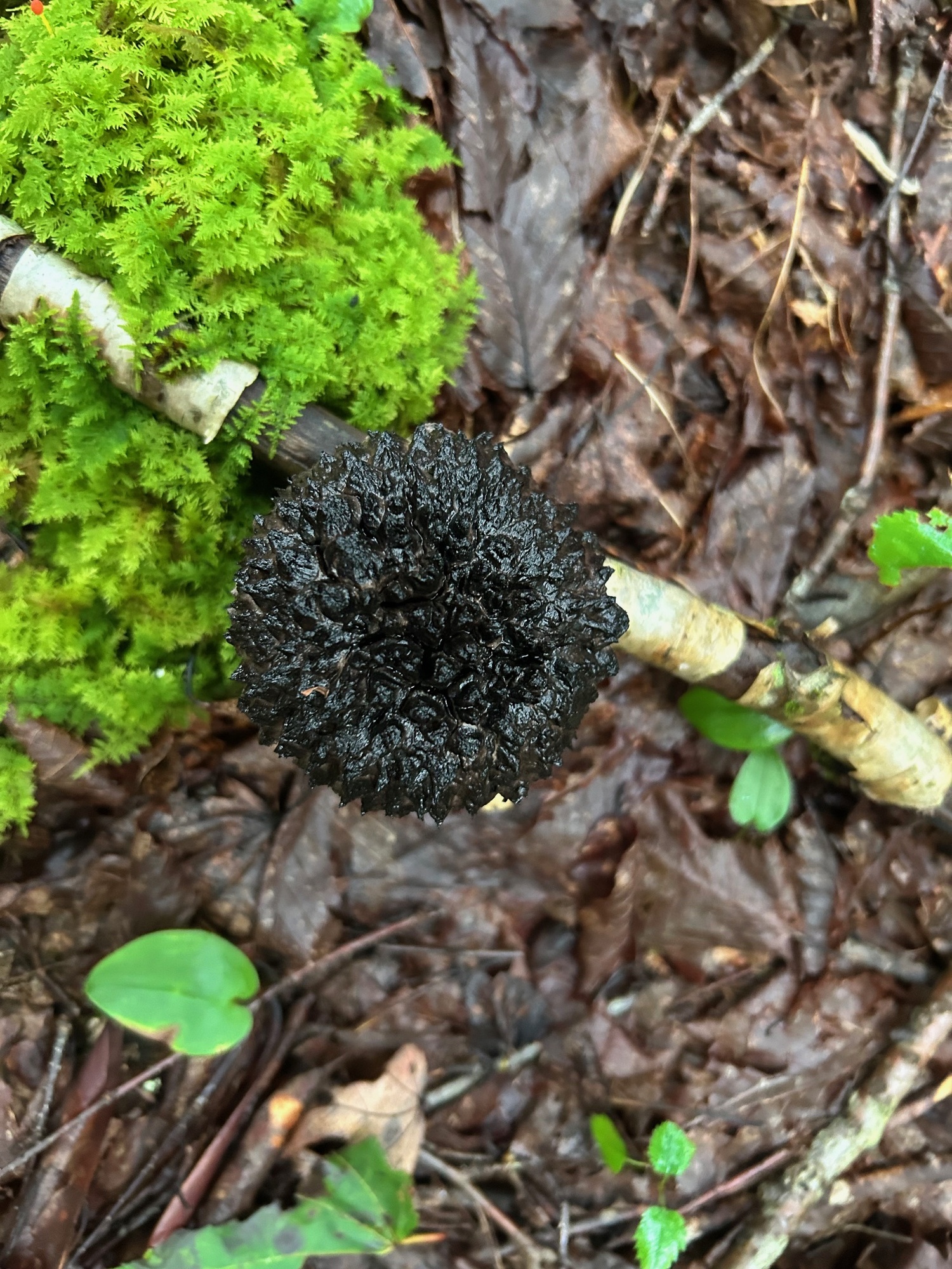
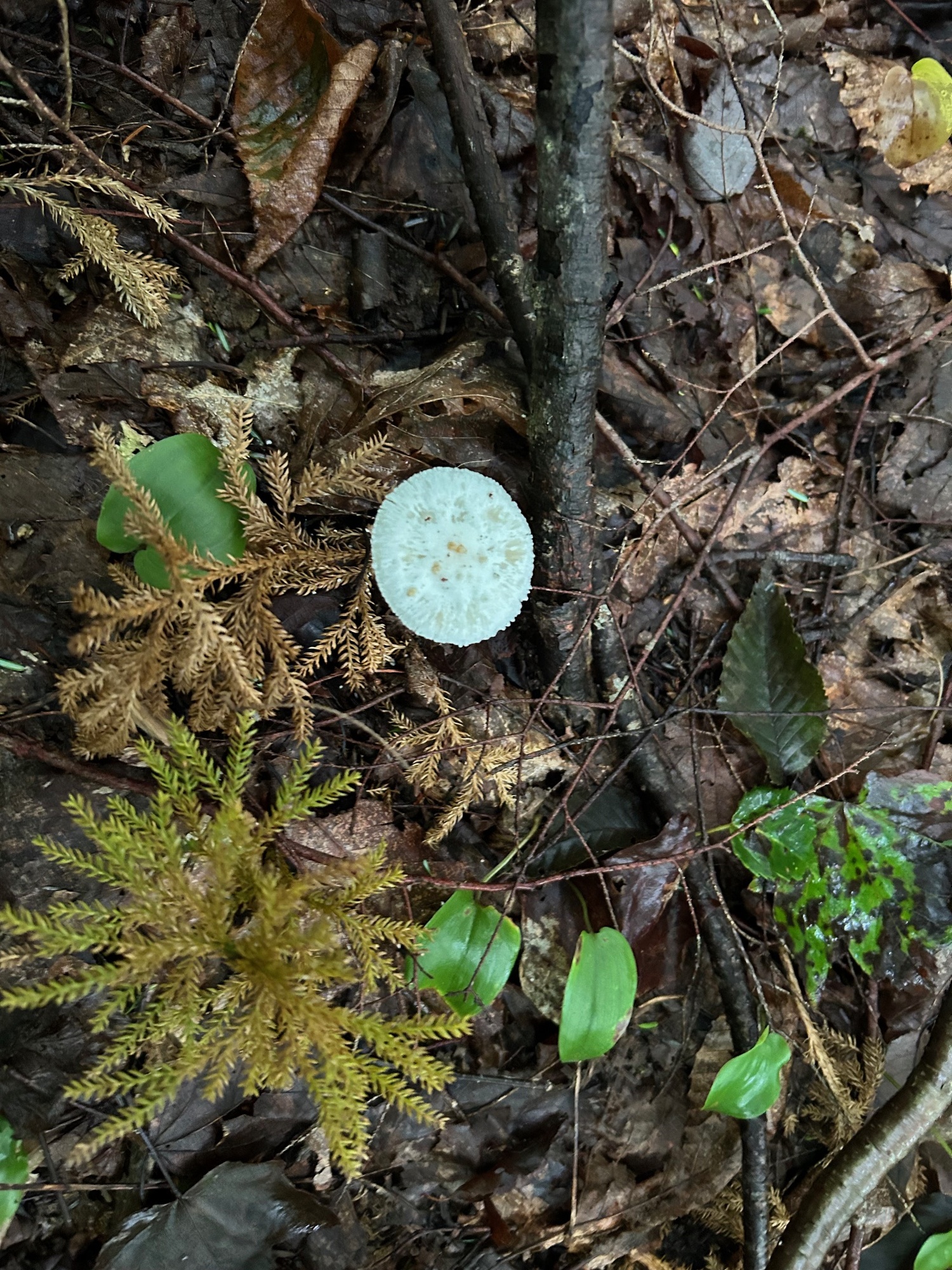
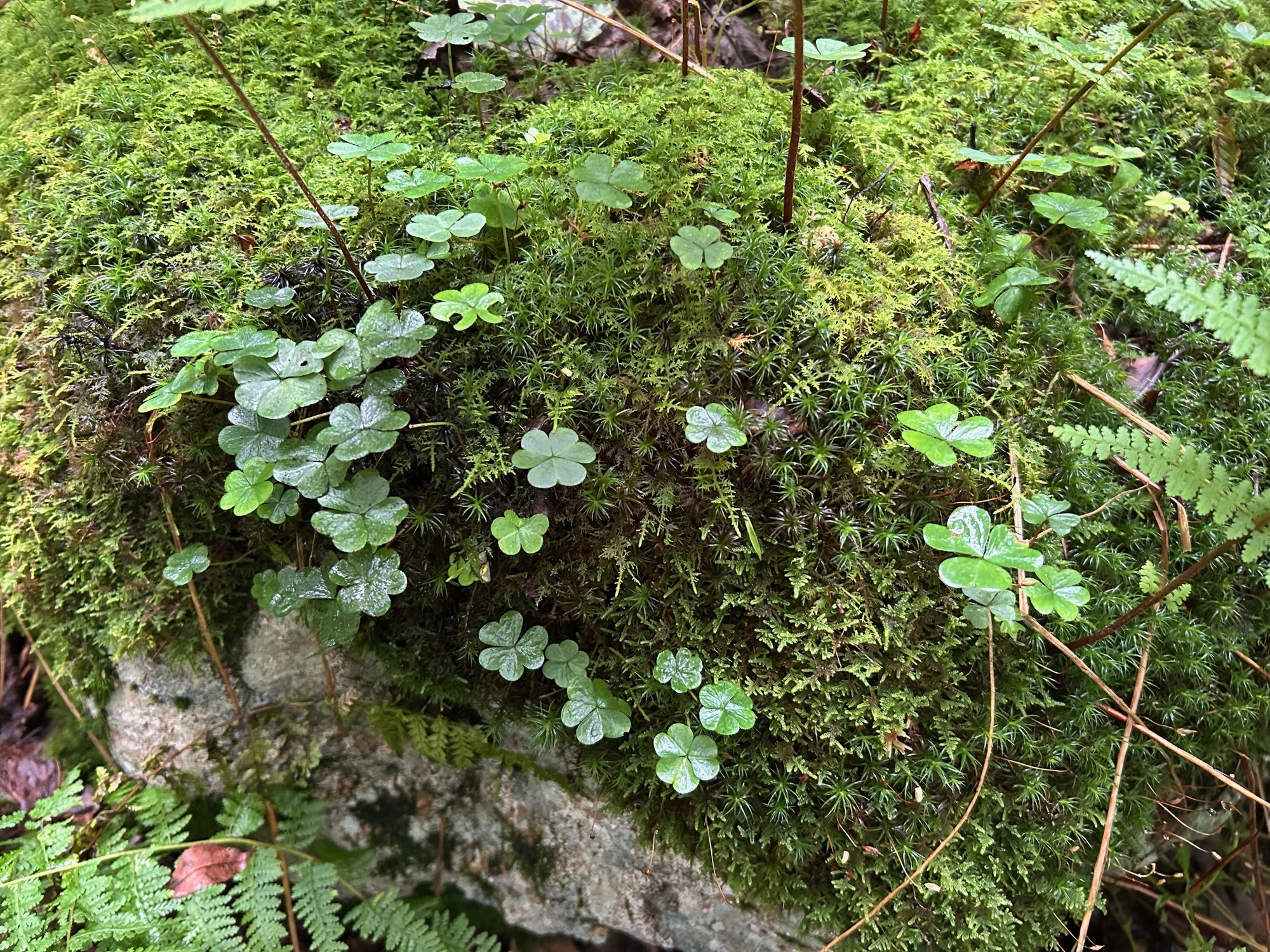
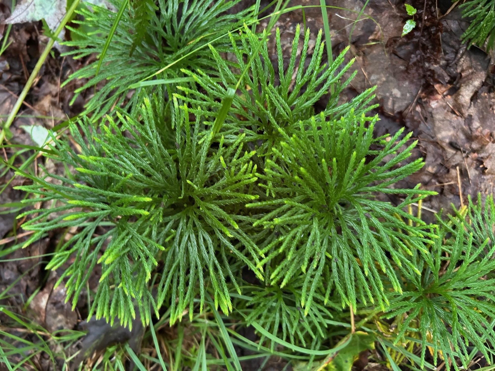
The heat wave broke last evening and this morning dawned markedly cooler than we had experienced in a while. As Annemarie and I started Northward on the Blackwater Canyon Trail, rain began to fall. We decided that we did not want to go very far in the cold rain so we crossed the river and headed into the Thomas City Park and its network of trails.
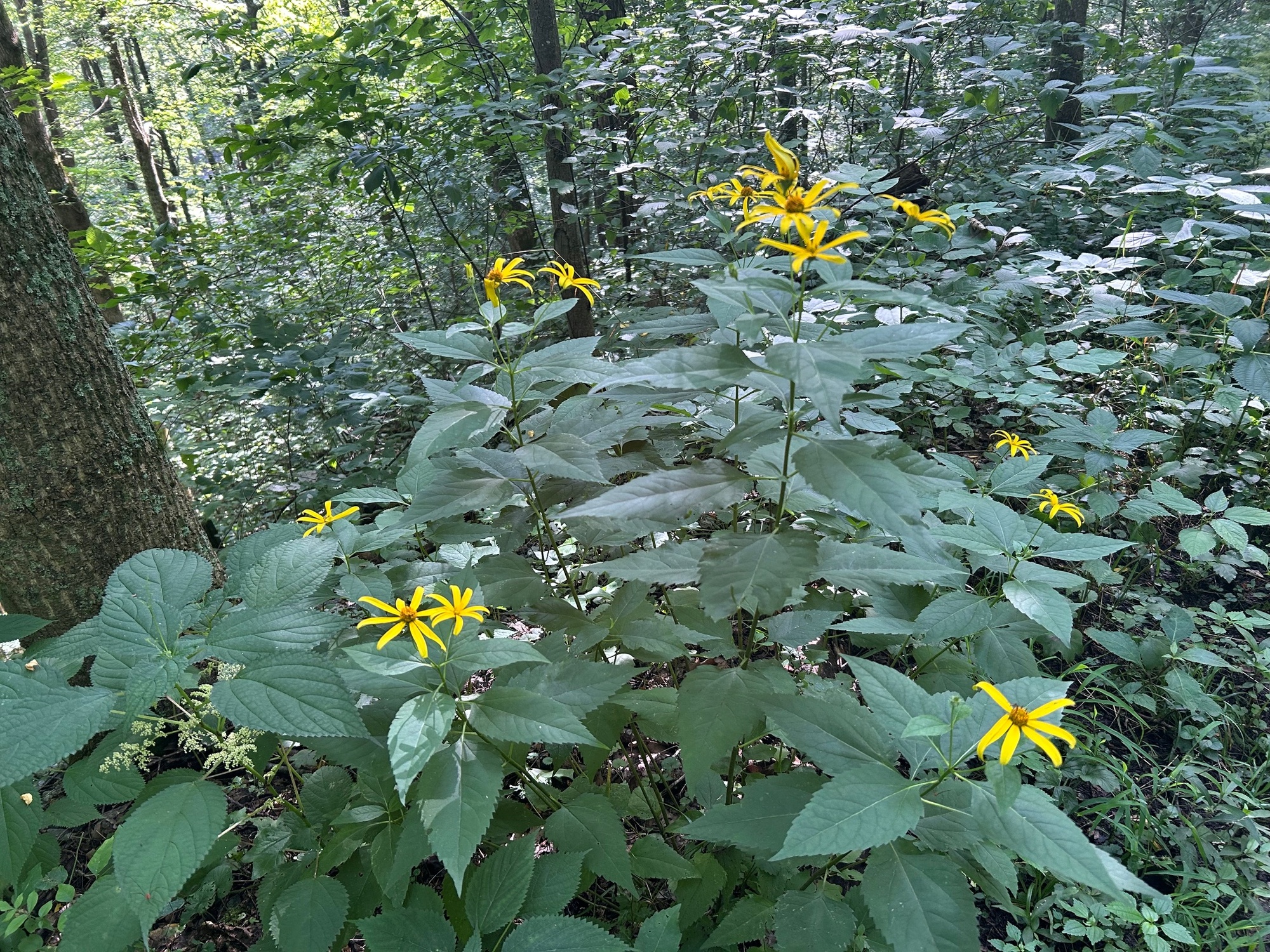
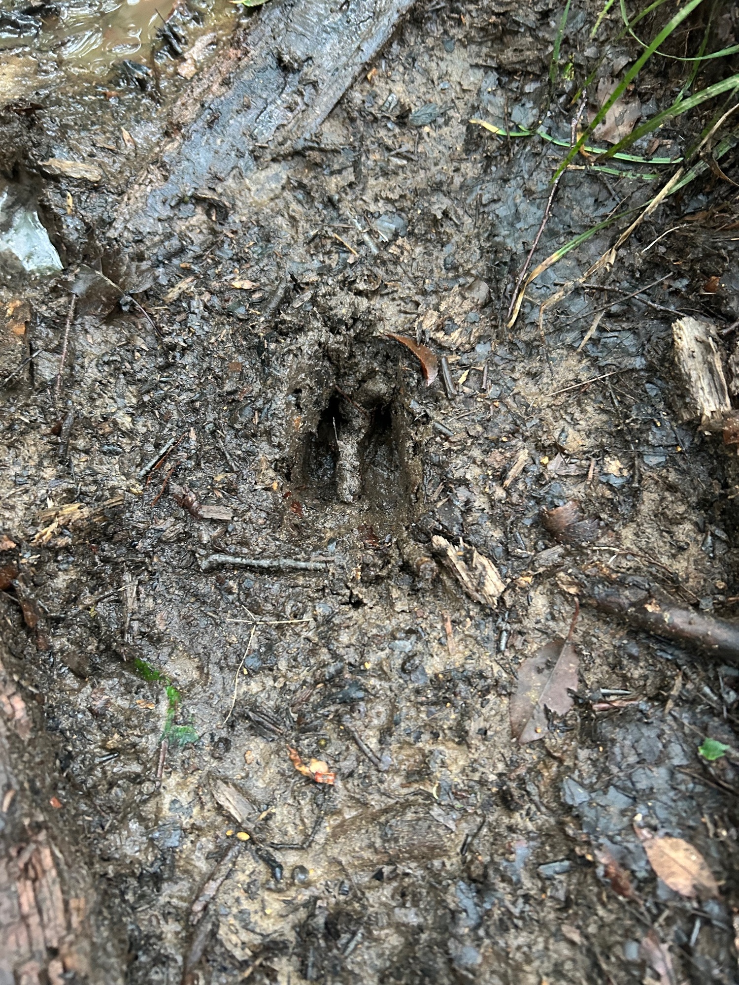
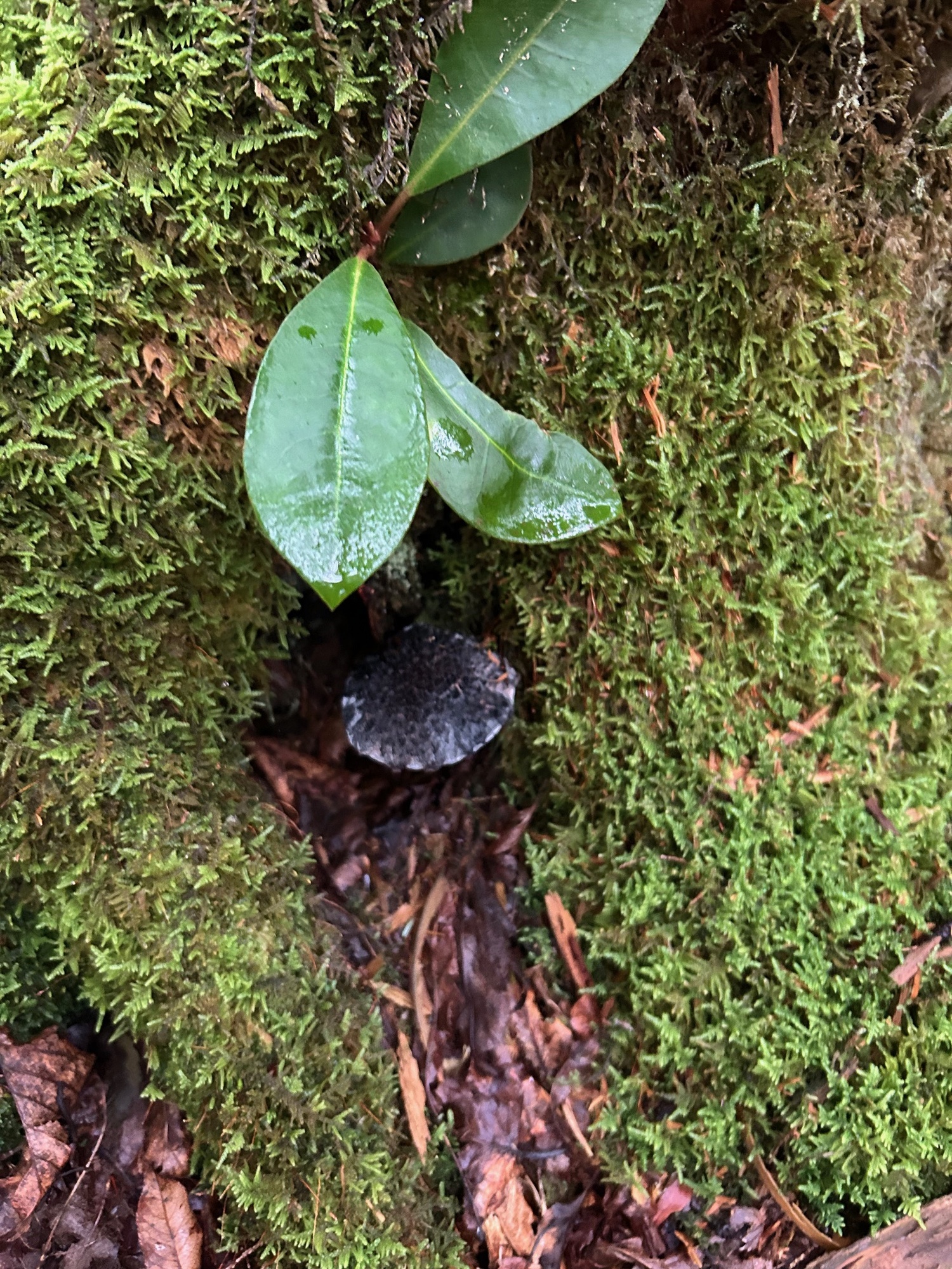
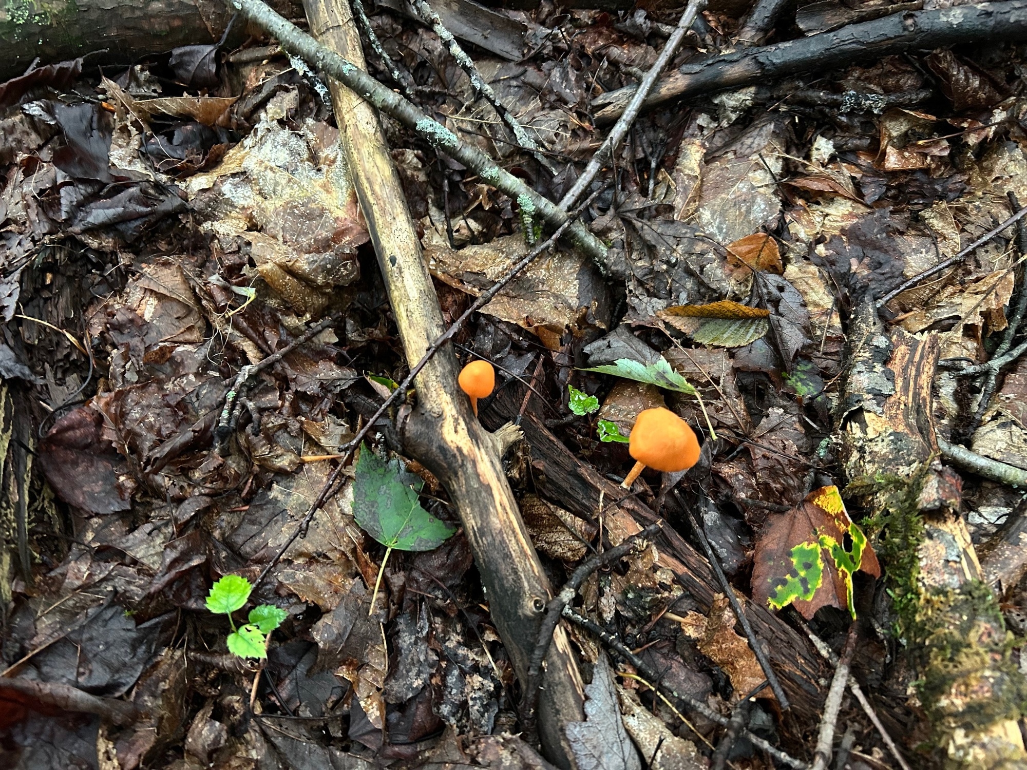
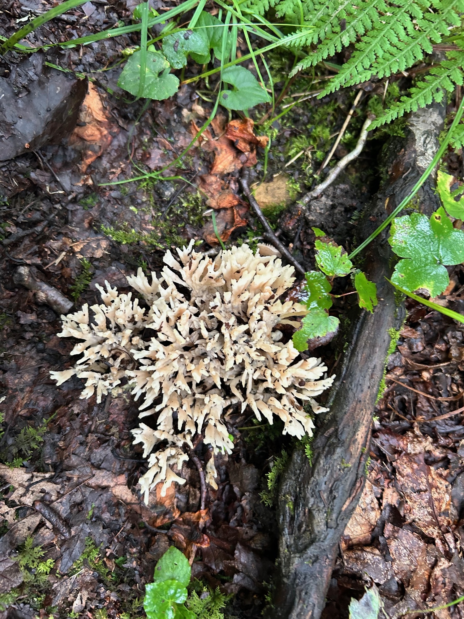
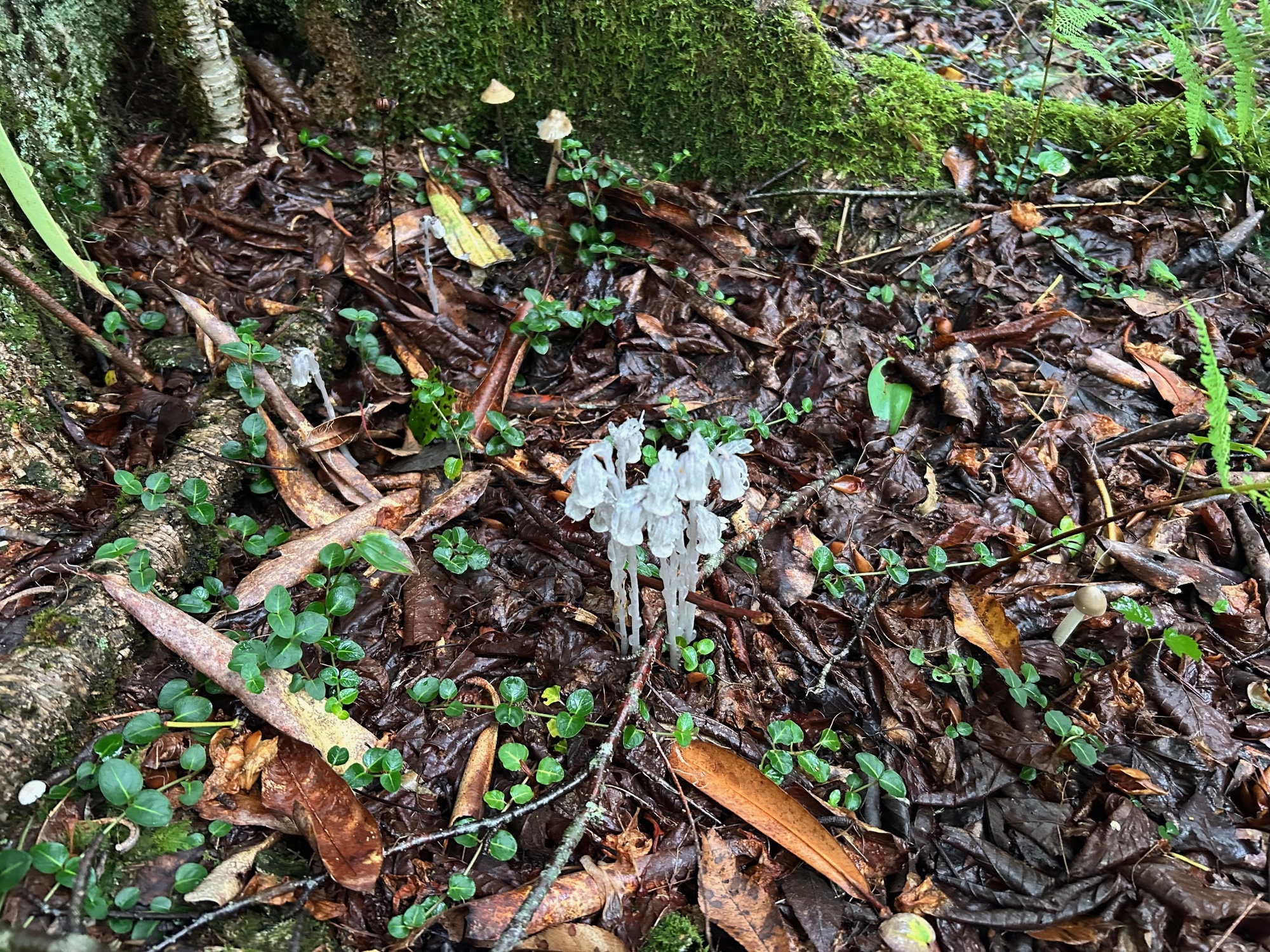
Once in the park, our bike ride plans expanded to include a hike on the JR Davis Trail. During the hike, we encountered several interesting species of mushrooms and woodland plants. The area was very wet from the morning rain but also very damp from all of the rain that has fallen during this past Spring and current Summer. There was moss all over everything, somewhat resembling a light version of what can be found in the Pacific Northwest. Some photos of what we saw follow below.
| Heart | 0 | Comment | 0 | Link |
| Heart | 0 | Comment | 0 | Link |
| Heart | 0 | Comment | 0 | Link |
| Heart | 0 | Comment | 0 | Link |
| Heart | 0 | Comment | 0 | Link |
After our park exploration, we rode along the Blackwater Canyon Trail and back through town before ending our rainy ride for the day. Thomas has a couple of nice places to have coffee and at least two establishments for music and night life entertainment. The Purple Fiddle is well-known for bringing in quality performers. A few craft shops can satisfy the shopper, antique and souvenir collector. Although Thomas is a small town, there is plenty to do to keep one busy during a visit.
Today's ride: 51 miles (82 km)
Total: 1,194 miles (1,922 km)
| Rate this entry's writing | Heart | 1 |
| Comment on this entry | Comment | 0 |