January 6, 2026
Tres Lagos to Gobernador Gregores
Not much for breakfast other than a boil egg, an orange and yesterday evening's leftover polenta which was so like chewing cardboard, I couldn't finish it. Packed up and left the campsite at 06.10 feeling a frosty nip in the air with cold hands as the sun has yet to appear.
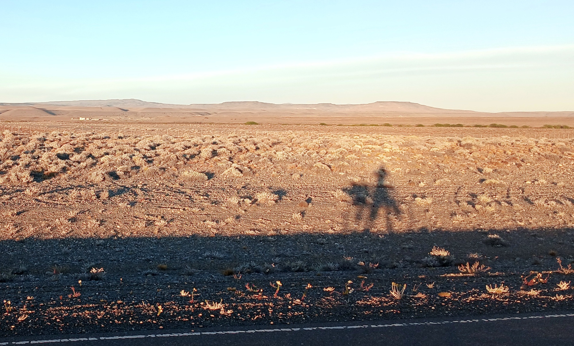
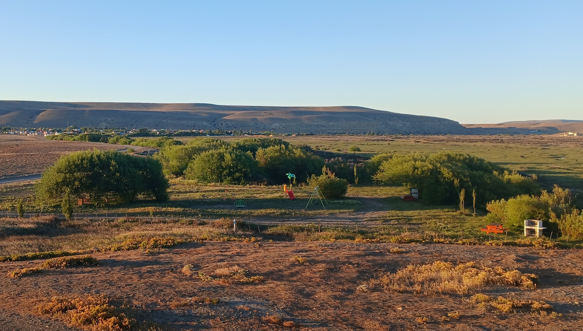
Beyond the village it is 3 kms on route 288 which goes 210 kms to Piedrabuena in the east on route 3, while the new 40 swings sharp left. The sun breaks through a gap in the hills as I turn onto 40 creating a long shadow of me and the Kona and a kilometre further I cross a bridge over Rio Chalia, a small but important river which provides a meandering green ribbon of trees and pasture through an otherwise dry arid landscape and makes the village of Tres Lagos possible.
| Heart | 0 | Comment | 0 | Link |
| Heart | 0 | Comment | 0 | Link |
Unusually, the wind is a light breeze from the southeast and before 08 it is already warming up as I wear a buff that covers the sides and lower parts of my face plus the back of the neck against the sun, but leaves the forehead below the cycle-helmet exposed. A second buff would be nice.
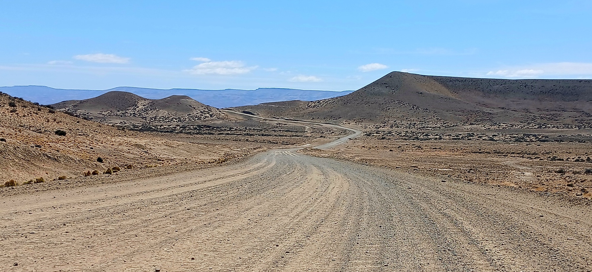
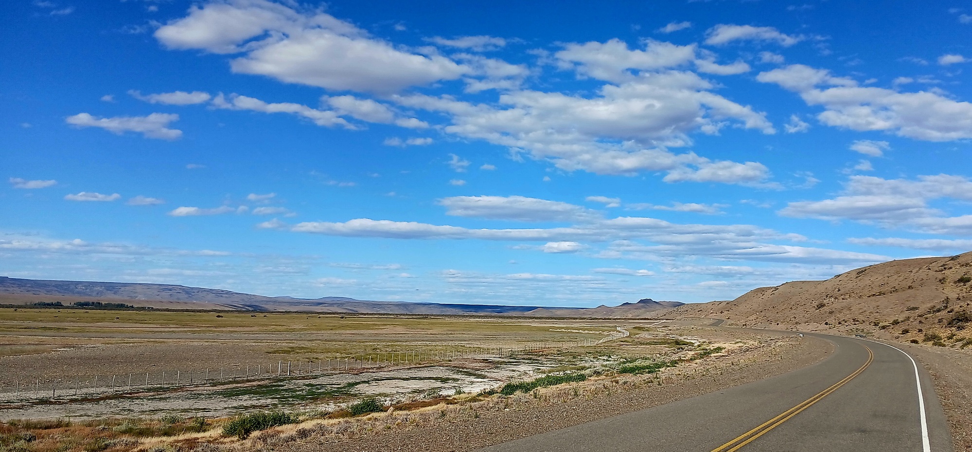
Althought there are some downhill dips, it is predominantly a serious of long climbs all the way from the Chalia valley. The landscape parched with tabular mesetas to the side. I pass a left turn, a track winding up into the hills with a sign for Es Los Cerros 6. Es short for estancia or farm and 6 kms is probably up over the dry hill descending to a source of water such as a stream providing enough greenery to substain life. Further there is a right turn and another track away up a hill; the sign Es Baginel 6 and further still another track left and sign Es Sarita. This was the last sign of habitation for a long way and not far on the tarmac gave out to gravel road.
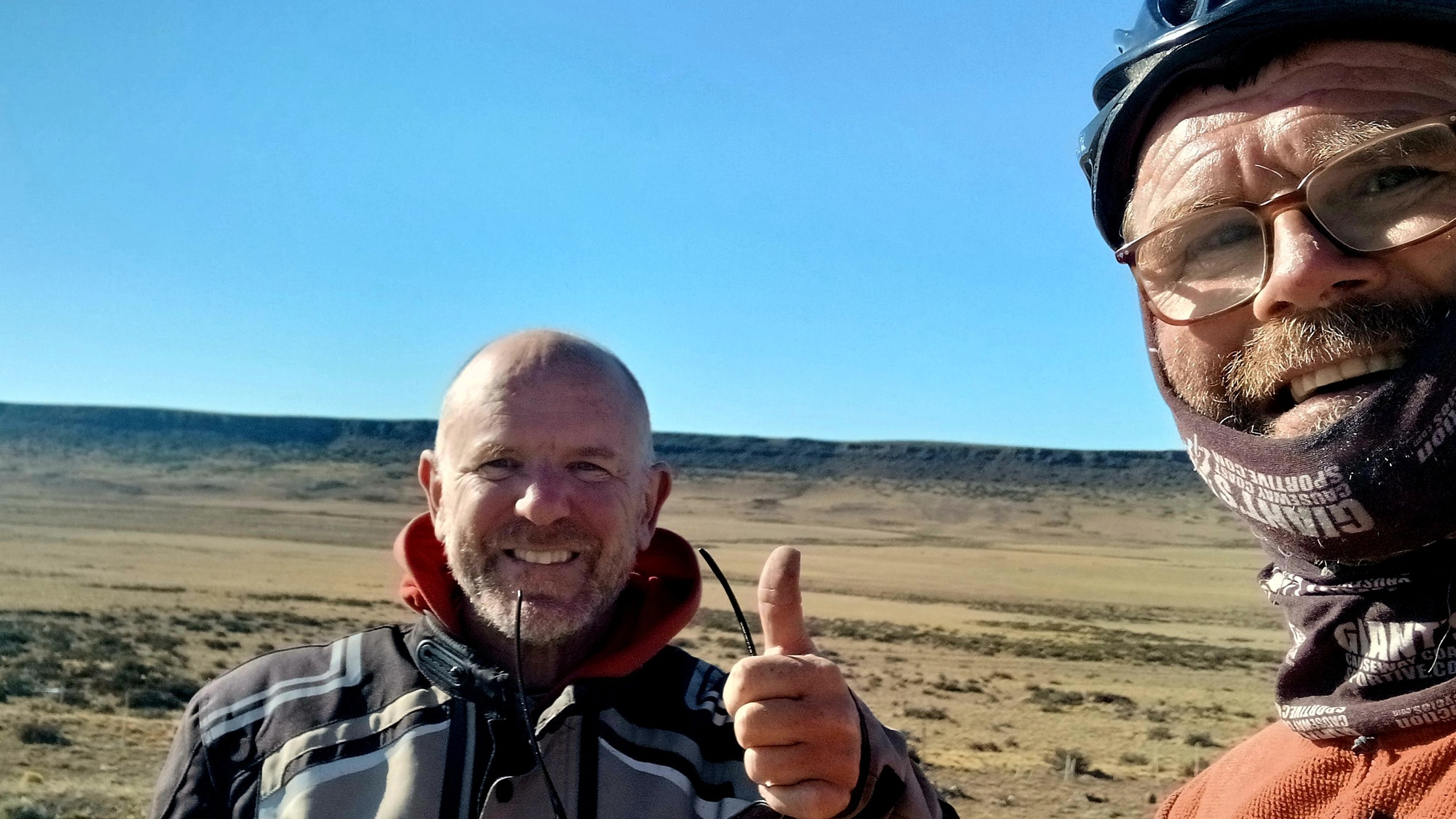
Within a kilometre of the end of the tarmac a scooter pulls level with me and its rider asked have I enough water. Then where the tarmac ends and gravel begins he waits for me and I stops to chat. His name is Pablo and he rode Argentina end-to-end from north to south on a bicycle and now is doing the opposite, south to north on a scooter sticking religiously to route 40.
The motorcyclists I met yesterday at the shelter were doing the same, riding the 40 south then vice versa. It is a historic road which has only become a tourist attaction in the past 20 years. Originally designated national route 40 in 1935, it linked existing tracks and rudimentary motor roads in an attempt to create one longitudinal parallel road to the Andes from northernmost point in Argentina to the southernmost. It has changed and evolved over the decades, for example the section I'm on today was originally built in the 1970s then rebuilt in the late 2000s partly tarmacked. In the beginning it turned at the petrol station 3 kms west of Tres Lagos going northwest to Lago San Martin (the same lake is called Lago O Higgin on the Chilean side) upon the road now called provencial route (RP) 31. Then continued north the latter part on RP 35 to join the present 40 at Horquetas. However, this westerly route for whatever reason stopped being used in the 1950s and the section between Lago San Martin and RP 35 reverted to nature and disappeared.
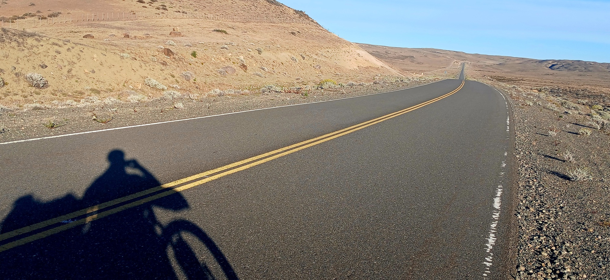
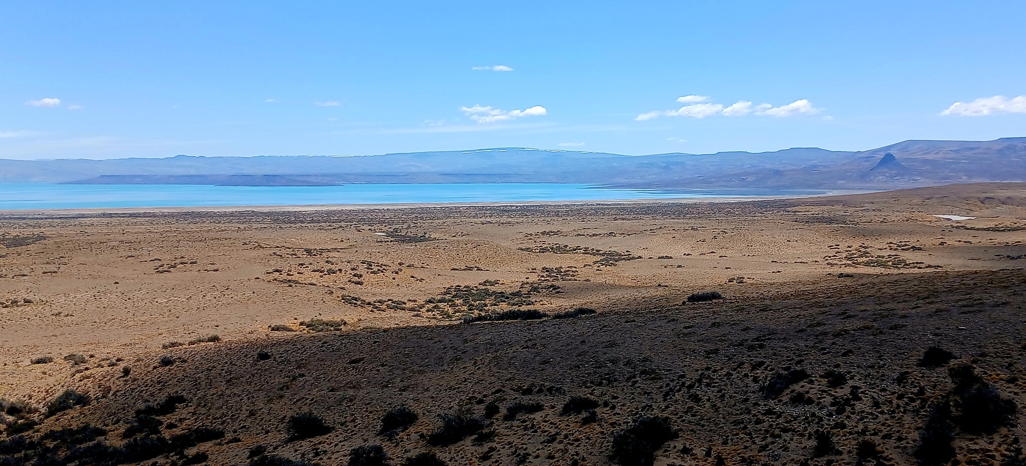
With a bit of a tailwind I was rolling along fine on the loose stony gravel. The many passing motorcyclists were taking it slowly. It is never consistant: a clear of loose stones tramline made by car wheels will sudden become deep loose stones necessitating a switch over to another clear track. The road goes up another steep hill and levels out upon a plateau; a long exposed traverse with the long turquoise strip of Lago Cardial appearing off to the west and ahead a group of hills which the road eventually reaches and climbs up and descends into.
| Heart | 0 | Comment | 0 | Link |
At this point I could feel the rear of the Kona wobbly and discover the rear tyre soft. I pump it up, but after about 10 minutes riding it is soft again. This may not be so detressing if it weren't so hot and the dune-like hills are a desolate place without shade. I pump it up a third time then as it goes soft come to a layby where I stop to eat my sandwich bought from the petrol station yesterday. I had had enough of pumping up so decided to put a spare inner-tube in, but found out that the screw securing the tubeless valve in the rim wouldn't shift; probably, with months of dirt on the valve tread there's no way it'll screw off. So I have to put the inner-tube back in the bag and hope I can continue by adding air.
I pump it up again and climb the steep hill with the road having swung east and on the hilltop is another layby where I pull over for a last look at Lago Cardial and take a photo as beyond this point the lake passes out of view. A Brazilian plated camper is parked and a tall man asks "Adonde long-ee.." something in portugues which I recognise as where are you from. He then hands me a bottle of red soft drink which was refreshingly ice cold.
I pump the tyre up again and I'm almost flat when I reach the start of the tarmac, where in the shade of big concrete blocks, I pump the tyre up again and then set off riding upon a long strip of tarmac heading toward distant hills in the east with heat haze making me see mirages. An hour or more passes and the tyre remains up, leading me to suspect the cause of the air leak was back on the rough loose stony gravel, when crossing to gain a clear car track the rear slid and I had to put my foot down to right myself during which the tyre twisted breaking the seal between tyre and rim.
By 17 hrs the road begins to descent and I stop for 45 minutes to boil water for mate: the Kona propped up against the inside of a crashbarrier: the phone charging from the solar panel.
Onwards the road drops dramatically with a great curve around to the left then sharp right steeply down a ravine with a broad greened up valley opening up ahead with impressive tabular hills on either side. It was only 20 kilometres more to Gobernador Gregores according to a sign, but after following the valley for a bit, the road swings uphill and continues a steady ascend with dry barren hills either side, as if I hadn't seen enough of those today. Finally over a crest and a straight into headwind until reaching a tee-junction where I go left for town.
I arrive in town shattered and burned from the sun having covered 175 kms. It had been a long day since 06 and it was now 20 hrs. The old municipal campsite was shut and a cabana place at the YPF service station was full. The only other option was a campsite 2 kms along the 40 north which I cycle out to. Instead of canping I rent a cabana for 2 night costing 33,000 (£18). But I have to ride back to town for dinner at a small place beside YPF. Empanadas and pizza and a cold can of Braham beer.
| Rate this entry's writing | Heart | 1 |
| Comment on this entry | Comment | 3 |
Still read Jame Hall and Peter Jacobsen's journals on other site. Both could give a master class on writing a travel log.
2 weeks ago